Browse / United States / California / Cambria
Cambria
CaliforniaCDP

Cambria
Total population
5,978
Median home value
$930,200
Bachelor's+
Median income
$99,147
Demographic figures from US Census Bureau · ACS 5-year estimates. Overview below cites Wikipedia and may reference a different year.
City facts
Facts from Wikidata (CC0).
Overview
Cambria is an unincorporated community on the Central Coast of California, in San Luis Obispo County, United States. It lies along State Route 1, south of San Simeon. For statistical purposes, the United States Census Bureau has defined Cambria as a census-designated place (CDP). Its population was 5,678 at the 2020 census, down from 6,032 in 2010.
Read more on WikipediaHistory & geography
History
Ancestors of today's Chumash and Salinan peoples lived along the Cambria–San Simeon coast for thousands of years. They used resources from both the shore and inland valleys, including fish, shellfish, game, and seeds, and traded for materials unavailable locally. The coast around Cambria lies in a region where researchers have placed the transition between Northern Chumash and Salinan languages and cultures. Archaeological and ethnographic evidence does not establish a single fixed boundary; proposed boundaries differ, and researchers have suggested that they shifted over time. Spanish colonization and the establishment of missions changed Indigenous subsistence and land use. Mission livestock damaged some native plant communities along this part of the coast. The Portolá expedition camped beside Santa Rosa Creek in 1769, near the later site of Coast Union High School. During the mission period, the Cambria area was used for grazing. In 1841, Governor Juan Alvarado granted Rancho Santa Rosa, which included Cambria, to Julián Estrada. Erwin Gudde records that the names Santa Rosa and Rosaville were also suggested, the town having been built on Rancho Santa Rosa. The name Cambria was officially adopted in 1870. Gudde notes that the new name appears in a letter of November 18, 1870, and that the von Leicht–Craven map of 1874 still showed both Cambria and Santa Rosa. A different account, published by Roland Dickison in the journal Names in 1968, attributes the name to a Welsh carpenter named Llewellyn, who used Cambria, the Latin name for Wales, on his shop sign. Mercury mining in the surrounding mountains began in 1862. The Oceanic Mine, inland along Santa Rosa Creek, began operations in 1865 and expanded in 1875. Production stopped when prices fell in 1882, but the…
Geography
Cambria lies in the Santa Rosa Creek valley. Cambria's Monterey pine forest is one of three native populations on the California mainland; the others are at Point Año Nuevo and the Monterey Peninsula. Two additional native populations occur on the Mexican islands of Cedros and Guadalupe.
Excerpted from the corresponding Wikipedia article (CC BY-SA).
Demographics & economy
Race & ethnicity
Source: US Census Bureau — American Community Survey, 5-year estimates.
Geography
Coordinates & boundaries from the US Census TIGER/Line shapefiles.
Climate
Current forecast
Forecast for Cambria, CA from NOAA NWS API.
Air quality
Industrial & pollution facilities
Natural hazard risk
Health (adults)
Age-adjusted prevalence estimates from CDC PLACES (latest release).
Walkability
Amenities nearby
Wildlife & biodiversity
Schools
Largest nearby schools
- Cambria GrammarElementary · Cambria · 207 students · 15.9:1 ratio
- Coast Union HighHigh · Cambria · 149 students · 9.3:1 ratio
- Santa Lucia MiddleMiddle · Cambria · 121 students · 13.4:1 ratio
- Leffingwell High (Continuation)High · Cambria · 11 students
Public K–12 schools within ~10 mi from Urban Institute Education Data Portal (NCES Common Core of Data, 2022).
Earthquake history
Photos
Sights & places nearby
Notable people from here

People born within ~10 km, from Wikidata (CC0). Click any name for their Wikipedia article.
Nearby places in California
Geography & sun
Elevation, sunrise/sunset and daylight from Open-Meteo. Solar climatology from NASA POWER.
Nearby airports
Public attention
Pageview totals from the Wikimedia Pageviews API.
Books about Cambria


Search results from Open Library.
Recent natural events nearby
- Wildfire Plaskett, Monterey, CaliforniaWildfires · 2026-08-26 · 31 mi
- Wildfire Timber, Monterey, CaliforniaWildfires · 2026-08-09 · 58 mi
- Wildfire PLAINS, San Luis Obispo, CaliforniaWildfires · 2026-08-12 · 62 mi
- Wildfire BUZZARD, Kern, CaliforniaWildfires · 2026-08-05 · 130 mi
- Prescribed Fire CRAWFORD CORRAL RX, Tulare, CaliforniaWildfires · 2026-09-19 · 138 mi
- Wildfire RIDGE, Los Angeles, CaliforniaWildfires · 2026-08-07 · 138 mi
- Wildfire DOME, Mariposa, CaliforniaWildfires · 2026-09-15 · 161 mi
- Wildfire GANN, Calaveras, CaliforniaWildfires · 2026-08-03 · 178 mi
Wildfires, storms and other events from NASA EONET (last 12 months, within 250 mi).
Ground air-quality sensors
Recently spotted species
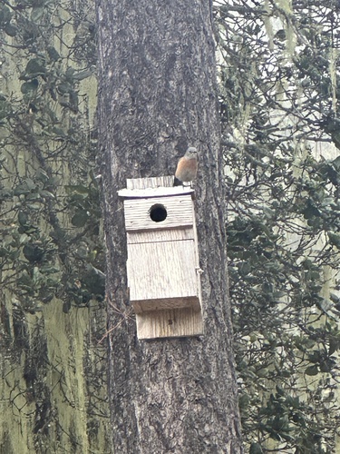
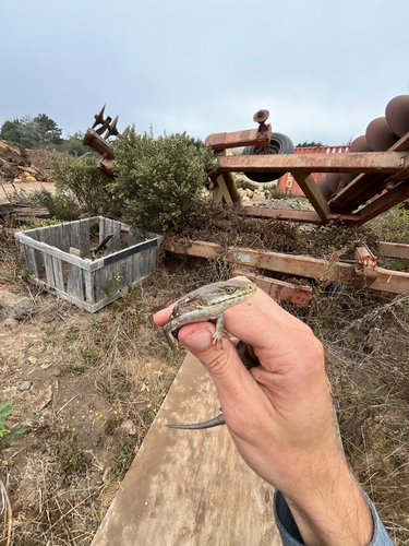
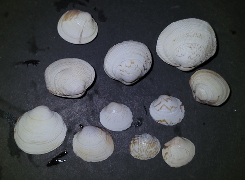
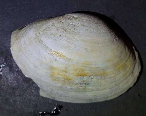
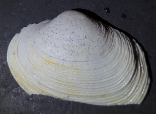
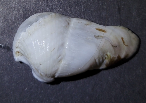
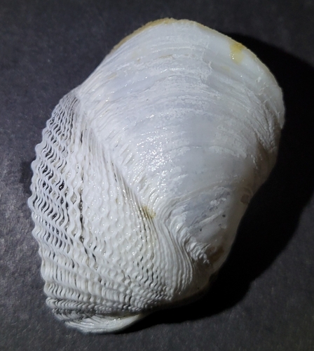
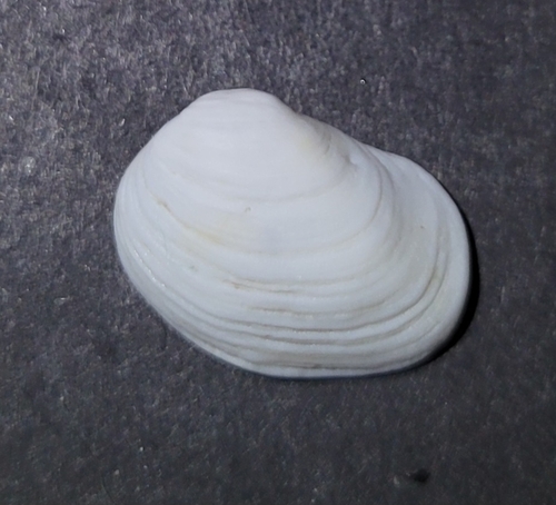
Research-grade observations from iNaturalist (within ~15 mi).
Nearest stream gauge
Live readings from USGS NWIS · measured 2026-10-01 16:15 UTC.
Events
Gallery
Sources
- • Wikipedia
- • US Census Bureau (ACS 5-year estimates)
- • NOAA National Weather Service
- • Wikidata
- • USGS NWIS (water data)
- • NCES via Urban Institute Education Data Portal
- • iNaturalist
- • CDC PLACES
- • Open-Meteo / sunrise-sunset.org
- • Wikipedia Pageviews API
- • Open Library
- • NASA EONET