Browse / United States / California / Guadalupe
Guadalupe
Californiacity

Guadalupe
Total population
8,566
Median home value
$495,600
Bachelor's+
Median income
$66,930
Demographic figures from US Census Bureau · ACS 5-year estimates. Overview below cites Wikipedia and may reference a different year.
- Heat Advisory · ModerateHeat Advisory issued October 1 at 12:17PM PDT until October 4 at 8:00PM PDT by NWS Los Angeles/Oxnard CA
Source: NOAA National Weather Service.
City facts
Sister cities
Facts from Wikidata (CC0).
Overview
Guadalupe is a small city located in Santa Barbara County, California. According to the 2020 census, the city has a population of 8,057. Guadalupe is economically and socially tied to the city of Santa Maria, which is about 8 miles (13 km) to the east. It is located at the intersection of Highway 1 and Highway 166, immediately south of the Santa Maria River, and 5 miles (8 km) east of the Pacific Ocean.
Read more on WikipediaHistory & geography
History
The first European land exploration of Alta California, the Spanish Portolá expedition, camped near today's Guadalupe on September 1, 1769. Franciscan missionary and expedition member Juan Crespí noted in his diary that they found "a very large lake". The lake has since mostly filled in, leaving a low-lying plain traversed by the Santa Maria River and several tributaries. When Mission La Purisima was established in 1787, the area became part of the mission's pasture land. In 1840, following secularization of the missions by the Mexican government and subsequent issuance of land grants, the area became part of the Rancho Guadalupe land grant. Rancho Guadalupe was first settled by pioneers of Mexican and Spanish descent, and later, other immigrants from many unique backgrounds followed, such as the Anglo Americans, Japanese, Chinese, and Filipinos. The small town was incorporated as the city of Guadalupe on May 19, 1946. The city name honors Our Lady of Guadalupe, which is the Catholic title given to the Virgin Mary. An ongoing construction development along the south side of town will add more than 800 homes. The project, Pasadera Homes, was first announced in 1993 and has undergone several delays. The city annexed the in 1995. When completed, it is expected to boost the city's population to the 10,000 that is considered the threshold for attracting chain stores and restaurants. In addition to homes, the plan includes a new school and commercial development. The city faced economic troubles in the late 2000s and early 2010s; in 2015, a grand jury urged the city to dissolve. Voters overwhelmingly approved the passage of three new tax and fee measures, which, along with the aforementioned residential and commercial developments, helped stabilize the city's economy.
Excerpted from the corresponding Wikipedia article (CC BY-SA).
Demographics & economy
Race & ethnicity
Source: US Census Bureau — American Community Survey, 5-year estimates.
Geography
Coordinates & boundaries from the US Census TIGER/Line shapefiles.
Climate
Current forecast
Forecast for Guadalupe, CA from NOAA NWS API.
Air quality
Industrial & pollution facilities
Natural hazard risk
Health (adults)
Age-adjusted prevalence estimates from CDC PLACES (latest release).
Walkability
Amenities nearby
Wildlife & biodiversity
Most-observed species
- House FinchHaemorhous mexicanus (P.L.Statius Müller, 1776) · Aves5,255
- American CrowCorvus brachyrhynchos C.L.Brehm, 1822 · Aves5,073
- Black PhoebeSayornis nigricans (Swainson, 1827) · Aves4,863
- MallardAnas platyrhynchos Linnaeus, 1758 · Aves4,728
- Anna's HummingbirdCalypte anna (R.Lesson, 1829) · Aves4,520
- American CootFulica americana Gmelin, 1789 · Aves4,277
- California/Woodhouse's Scrub-JayAphelocoma californica (Vigors, 1839) · Aves4,143
- Turkey VultureCathartes aura (Linnaeus, 1758) · Aves3,920
Citizen-science & research observations from the Global Biodiversity Information Facility (GBIF).
Schools
Largest nearby schools
- Pioneer Valley HighHigh · Santa Maria · 3,220 students · 24.4:1 ratio
- Santa Maria HighHigh · Santa Maria · 3,196 students · 22.8:1 ratio
- Kunst (Tommie) Junior HighMiddle · Santa Maria · 1,030 students · 18.4:1 ratio
- Fesler (Isaac) Junior HighMiddle · Santa Maria · 959 students · 18.8:1 ratio
- Bruce (Robert) ElementaryElementary · Santa Maria · 951 students · 22.1:1 ratio
- Jimenez Roberto and Dr. Francisco ElementaryElementary · Santa Maria · 938 students · 23.4:1 ratio
- Alvin ElementaryElementary · Santa Maria · 914 students · 23.4:1 ratio
- Rice (William) ElementaryElementary · Santa Maria · 913 students · 24.7:1 ratio
Public K–12 schools within ~10 mi from Urban Institute Education Data Portal (NCES Common Core of Data, 2022).
Earthquake history
Most recent
- M 2.54 — 2026-08-1712 km SSW of Lompoc, CA
- M 2.66 — 2026-08-1712 km S of Lompoc, CA
- M 2.53 — 2026-08-167 km SW of Atascadero, CA
- M 2.53 — 2026-08-1412 km SSW of Lompoc, CA
- M 2.82 — 2026-08-0912 km SSW of Lompoc, CA
- M 2.51 — 2026-08-0913 km SSW of Lompoc, CA
Events from the USGS Earthquake Catalog (global) (FDSN Event Web Service).
Photos
Sights & places nearby
Notable people from here
People born within ~10 km, from Wikidata (CC0). Click any name for their Wikipedia article.
Nearby places in California
- Casmalia9.1 mi away
- Arroyo Grande11 mi away
- Garey15.7 mi away
- Avila Beach18.2 mi away
- Buellton32.3 mi away
- Creston38.3 mi away
- El Paso de Robles (Paso Robles)46.1 mi away
- Cambria49.8 mi away · pop. 5,978
- Goleta54.6 mi away · pop. 32,690
- Lake Nacimiento55.5 mi away
- Eastern Goleta Valley57.4 mi away
- Derby Acres58.1 mi away
Geography & sun
Elevation, sunrise/sunset and daylight from Open-Meteo. Solar climatology from NASA POWER.
Nearby airports
Public attention
Pageview totals from the Wikimedia Pageviews API.
Books about Guadalupe

![Three years in California [1846-1849]](https://covers.openlibrary.org/b/id/6119339-M.jpg)

Search results from Open Library.
Recent natural events nearby
- Wildfire PLAINS, San Luis Obispo, CaliforniaWildfires · 2026-08-12 · 45 mi
- Wildfire Plaskett, Monterey, CaliforniaWildfires · 2026-08-26 · 80 mi
- Wildfire BUZZARD, Kern, CaliforniaWildfires · 2026-08-05 · 94 mi
- Wildfire RIDGE, Los Angeles, CaliforniaWildfires · 2026-08-07 · 100 mi
- Wildfire Timber, Monterey, CaliforniaWildfires · 2026-08-09 · 108 mi
- Prescribed Fire CRAWFORD CORRAL RX, Tulare, CaliforniaWildfires · 2026-09-19 · 144 mi
- Wildfire DOME, Mariposa, CaliforniaWildfires · 2026-09-15 · 187 mi
- Wildfire GANN, Calaveras, CaliforniaWildfires · 2026-08-03 · 218 mi
Wildfires, storms and other events from NASA EONET (last 12 months, within 250 mi).
Ground air-quality sensors
Recently spotted species
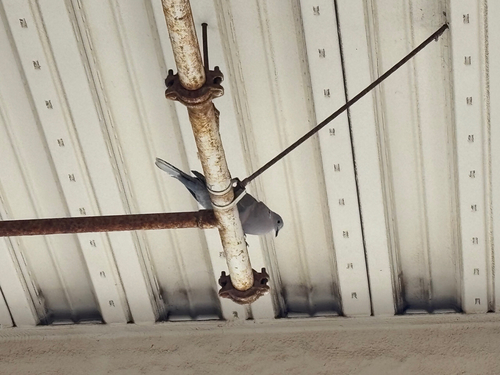
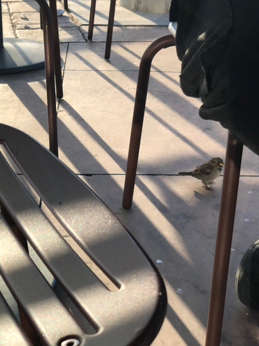
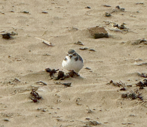
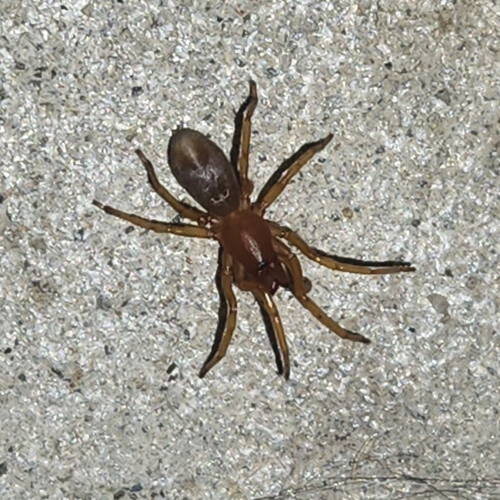
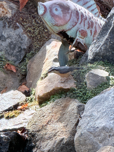
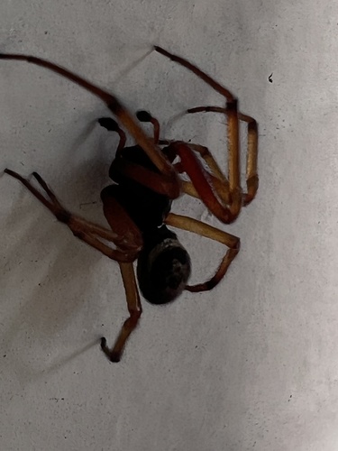
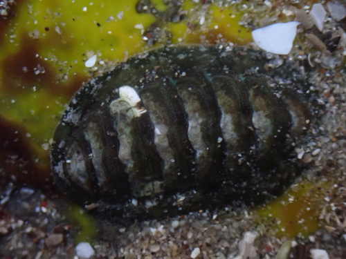
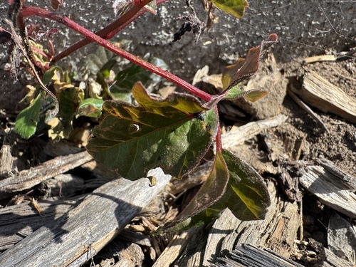
Research-grade observations from iNaturalist (within ~15 mi).
Nearest stream gauge
Live readings from USGS NWIS · measured 2026-10-01 16:30 UTC.
Events
Gallery
Sources
- • Wikipedia
- • US Census Bureau (ACS 5-year estimates)
- • NOAA National Weather Service
- • Wikidata
- • USGS Earthquake Catalog (global feed)
- • USGS NWIS (water data)
- • NCES via Urban Institute Education Data Portal
- • GBIF (Global Biodiversity Information Facility)
- • iNaturalist
- • CDC PLACES
- • Open-Meteo / sunrise-sunset.org
- • Wikipedia Pageviews API
- • Open Library
- • NASA EONET