Browse / Canada / Yukon / Carmacks
Carmacks
Yukontown

Carmacks
Total population
503
Demographic figures from Statistics Canada. Overview below cites Wikipedia and may reference a different year.
City facts
Facts from Wikidata (CC0).
Overview
Carmacks is a village in Yukon, Canada, on the Yukon River along the Klondike Highway, and at the west end of the Robert Campbell Highway from Watson Lake. The population is 588, an increase from the Census of 2016. It is the home of the Little Salmon/Carmacks First Nation, a Northern Tutchone-speaking people.
Read more on WikipediaHistory & geography
History
The name of the community comes from George Washington Carmack, who found coal near Tantalus Butte (locally called Coal Mine Hill) in the early 1890s. He built a trading post near the present site of Carmacks and traded with locals before opening a coal mine in the south bank of the Yukon River. The focus of his entrepreneurial energy switched a few years later when he or his wife, Kate Carmack, discovered gold with her brother, Keish (Skookum Jim), and Dawson Charlie (Tagish Charlie) at what was to become the Discovery Claim, near Dawson City, which started the Klondike Gold Rush. Carmacks incorporated as a village on November 1, 1984.
Geography
The community consists of the Village of Carmacks and the Little Salmon/Carmacks First Nation. Carmacks Landing Settlement is within the Village of Carmacks. Carmacks is situated at the confluence of the Nordenskiold and Yukon rivers, approximately north of Whitehorse and south of Dawson City on the North Klondike Highway. It is the site of one of the four bridges over the Yukon River. The Campbell Highway also intersects the community and carries on to Faro, Ross River and Watson Lake, providing a gateway to the Canol Road and some of Yukon's most spectacular scenery. Carmacks has a subarctic climate (Dfc) with short but mild summers and long, severely cold winters.
Excerpted from the corresponding Wikipedia article (CC BY-SA).
Geography
Coordinates & boundaries from the US Census TIGER/Line shapefiles.
Climate
Air quality
Walkability
Amenities nearby
Wildlife & biodiversity
Earthquake history
Photos
Sights & places nearby
Notable people from here
Nearby places in Yukon
- Pelly Crossing51.5 mi away
- Stewart Crossing89.7 mi away · pop. 25
- Faro95.2 mi away · pop. 400
- Haines Junction100.7 mi away
- Whitehorse102.9 mi away · pop. 36,550
- Mayo104.7 mi away
- Mount Lorne122.9 mi away
- Ross River124.6 mi away · pop. 382
- Keno City129.6 mi away · pop. 24
- Carcross142.9 mi away · pop. 317
- Dawson City168 mi away
- Teslin178.3 mi away
Geography & sun
Elevation, sunrise/sunset and daylight from Open-Meteo. Solar climatology from NASA POWER.
Nearby airports
Public attention
Pageview totals from the Wikimedia Pageviews API.
Books about Carmacks

Search results from Open Library.
Recent natural events nearby
- Wildfire Mukluk, Southeast Fairbanks, AlaskaWildfires · 2026-08-17 · 231 mi
Wildfires, storms and other events from NASA EONET (last 12 months, within 250 mi).
Ground air-quality sensors
Recently spotted species
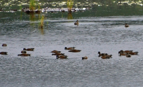
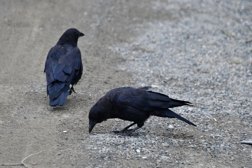
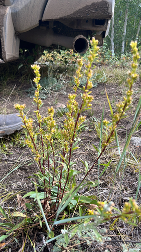
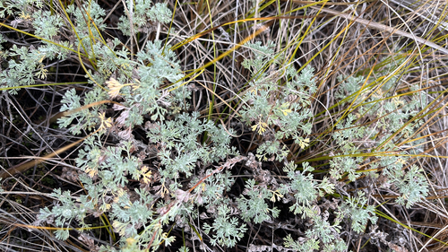
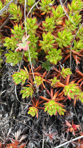
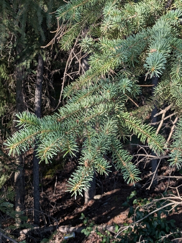
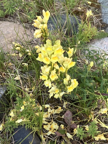
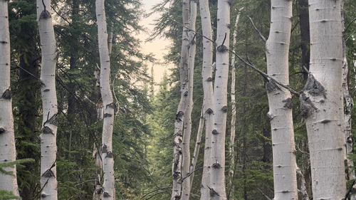
Research-grade observations from iNaturalist (within ~15 mi).
Events
Gallery
Official Identifiers
StatCan — Statistics Canada
- SGC code
- 6001012
- Wikidata
- Q1043492
Standard Geographical Classification (SGC) via Wikidata P3012
Sources
- • Wikipedia
- • Wikidata
- • iNaturalist
- • Open-Meteo / sunrise-sunset.org
- • Wikipedia Pageviews API
- • Open Library
- • NASA EONET
- • StatCan — Statistics Canada — Standard Geographical Classification (SGC) via Wikidata P3012