Browse / United States / California / Castro Valley
Castro Valley
CaliforniaCDP

Castro Valley
Total population
65,947
Median home value
$1,141,100
Bachelor's+
Median income
$145,276
Air quality index
Demographic figures from US Census Bureau · ACS 5-year estimates. Overview below cites Wikipedia and may reference a different year.
- Coastal Flood Advisory · MinorCoastal Flood Advisory issued October 1 at 12:20PM PDT until October 2 at 6:00PM PDT by NWS San Francisco CA
- Heat Advisory · ModerateHeat Advisory issued October 1 at 9:43AM PDT until October 4 at 10:00PM PDT by NWS San Francisco CA
Source: NOAA National Weather Service.
City facts
Facts from Wikidata (CC0).
Overview
Castro Valley is a census-designated place (CDP) in Alameda County, California, United States. At the 2020 census, it was the fourth most populous unincorporated area in California. The population was 66,441 at the 2020 census.
Read more on WikipediaHistory & geography
History
Before the arrival of European settlers the area was settled by the Chocheño (also spelled Chochenyo or Chocenyo) subdivision of the Ohlone Native Americans. With the arrival of Europeans, they established Mission San Jose in 1797. The area Castro Valley now occupies was part of the extensive colony of New Spain in what was the province of Alta California. Castro Valley was part of the original 28,000 acre (110 km) land grant given to Castro in 1840, called Rancho San Lorenzo. This land grant included Hayward, San Lorenzo, and Castro Valley, including Crow Canyon, Cull Canyon, and Palomares Canyons. Castro had a gambling habit and had to sell off portions of his land to pay gambling debts. The last of his holding was sold in a sheriff's sale in 1864 to Faxon Atherton for $400,000. Atherton (after whom the town of Atherton is named
Geography
Lake Chabot lies in the northwestern section of Castro Valley. Directly to the west is San Leandro. Hayward is to the south. Dublin, Pleasanton, and San Ramon are to the east. The eastern hills of Castro Valley constitute the headwaters of the San Lorenzo Creek watershed and the origin of several creeks that flow into San Lorenzo Creek: Bolinas, Castro Valley, Chabot, Crow, Cull, Eden, Hollis, Kelly Canyon, Norris, and Palomares Creeks.
Excerpted from the corresponding Wikipedia article (CC BY-SA).
Demographics & economy
Race & ethnicity
Source: US Census Bureau — American Community Survey, 5-year estimates.
Geography
Coordinates & boundaries from the US Census TIGER/Line shapefiles.
Climate
Current forecast
Forecast for Castro Valley, CA from NOAA NWS API.
Air quality
Current readings from Open-Meteo Air Quality API (Copernicus CAMS European reanalysis).
Industrial & pollution facilities
Natural hazard risk
Health (adults)
Walkability
Amenities nearby
Wildlife & biodiversity
Most-observed species
- American CrowCorvus brachyrhynchos C.L.Brehm, 1822 · Aves44,688
- House FinchHaemorhous mexicanus (P.L.Statius Müller, 1776) · Aves41,450
- Anna's HummingbirdCalypte anna (R.Lesson, 1829) · Aves41,367
- California TowheeMelozone crissalis (Vigors, 1839) · Aves35,309
- Black PhoebeSayornis nigricans (Swainson, 1827) · Aves33,694
- California/Woodhouse's Scrub-JayAphelocoma californica (Vigors, 1839) · Aves29,405
- MallardAnas platyrhynchos Linnaeus, 1758 · Aves28,340
- Chestnut-backed ChickadeePoecile rufescens (J.K.Townsend, 1837) · Aves27,321
Citizen-science & research observations from the Global Biodiversity Information Facility (GBIF).
Schools
Earthquake history
Most recent
- M 2.5 — 2026-09-1910 km ENE of Milpitas, CA
- M 2.59 — 2026-09-172 km ENE of Aromas, CA
- M 2.62 — 2026-09-1721 km E of Alum Rock, CA
- M 2.67 — 2026-09-163 km ESE of Santa Rosa, CA
- M 2.99 — 2026-09-149 km SW of Brentwood, CA
- M 2.55 — 2026-09-139 km SW of Brentwood, CA
Events from the USGS Earthquake Catalog (global) (FDSN Event Web Service).
Photos
Sights & places nearby
Notable people from here


People born within ~10 km, from Wikidata (CC0). Click any name for their Wikipedia article.
Nearby places in California
- Fairview2.3 mi away · pop. 10,745
- Norris Canyon4.8 mi away
- Moraga10.1 mi away
- Camino Tassajara11.3 mi away
- Piedmont12.1 mi away
- Orinda13.3 mi away
- North Gate14.1 mi away
- Contra Costa Centre15 mi away · pop. 6,893
- North Fair Oaks17.8 mi away
- Alhambra Valley18.3 mi away · pop. 979
- Pacheco19.3 mi away
- Millbrae20 mi away · pop. 22,689
Geography & sun
Elevation, sunrise/sunset and daylight from Open-Meteo. Solar climatology from NASA POWER.
Nearby airports
Public attention
Pageview totals from the Wikimedia Pageviews API.
Books about Castro Valley

![Three years in California [1846-1849]](https://covers.openlibrary.org/b/id/6119339-M.jpg)
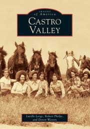

Search results from Open Library.
Recent natural events nearby
- Wildfire GANN, Calaveras, CaliforniaWildfires · 2026-08-03 · 76 mi
- Wildfire Timber, Monterey, CaliforniaWildfires · 2026-08-09 · 105 mi
- Wildfire FELIZ, Mendocino, CaliforniaWildfires · 2026-08-01 · 107 mi
- Wildfire LUCAS, Lake, CaliforniaWildfires · 2026-09-10 · 117 mi
- Wildfire LUCAS, Lake, CaliforniaWildfires · 2026-09-10 · 117 mi
- Wildfire Plaskett, Monterey, CaliforniaWildfires · 2026-08-26 · 130 mi
- Wildfire DOME, Mariposa, CaliforniaWildfires · 2026-09-15 · 134 mi
- Wildfire FLORISTON, Nevada, CaliforniaWildfires · 2026-09-16 · 160 mi
Wildfires, storms and other events from NASA EONET (last 12 months, within 250 mi).
Ground air-quality sensors
Recently spotted species
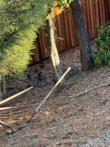
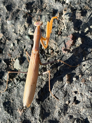
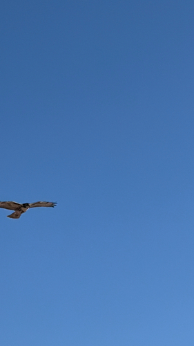
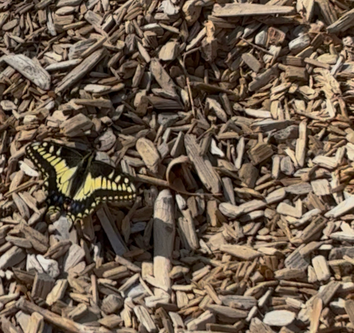
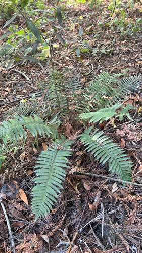
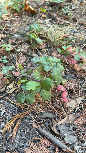
Research-grade observations from iNaturalist (within ~15 mi).
Nearest stream gauge
Events
Gallery
Sources
- • Wikipedia
- • US Census Bureau (ACS 5-year estimates)
- • NOAA National Weather Service
- • Wikidata
- • Open-Meteo Air Quality (CAMS)
- • USGS Earthquake Catalog (global feed)
- • GBIF (Global Biodiversity Information Facility)
- • iNaturalist
- • Open-Meteo / sunrise-sunset.org
- • Wikipedia Pageviews API
- • Open Library
- • NASA EONET