Browse / Canada / Newfoundland and Labrador / Clarke's Beach
Clarke's Beach
Newfoundland and Labradortown

Clarke's Beach
Demographic figures from Statistics Canada. Overview below cites Wikipedia and may reference a different year.
City facts
Facts from Wikidata (CC0).
Overview
Clarke's Beach is a town on Conception Bay in the Canadian province of Newfoundland and Labrador. In the 2021 census the town had a population of 1,400.
Read more on WikipediaHistory & geography
History
Clarke's Beach first appears in census records in 1857, with a population of 280. Many of the early settlers came from Bareneed and Port de Grave when these two settlements ran out of space for curing fish and when the Labrador fishery became prominent. The first settlers initially came to the area for timber, then for planting vegetables on the cleared land. Winter Home is a designated heritage building, designed and built by turn-of-the-century furniture maker Henry William Winter in 1919. This designated property, which was built by John Coveyduck in the mid 1800s, consists of a one-story house with a steeply pitched gable roof, a two-story barn, an outhouse and a well.
Excerpted from the corresponding Wikipedia article (CC BY-SA).
Geography
Coordinates & boundaries from the US Census TIGER/Line shapefiles.
Climate
Air quality
Walkability
Amenities nearby
Wildlife & biodiversity
Most-observed species
- American herring gull, Smithsonian GullLarus smithsonianus Coues, 1862 · Aves1,749
- American CrowCorvus brachyrhynchos C.L.Brehm, 1822 · Aves1,662
- American Black DuckAnas rubripes Brewster, 1902 · Aves1,392
- Great Black-backed GullLarus marinus Linnaeus, 1758 · Aves1,120
- Dark-eyed JuncoJunco hyemalis (Linnaeus, 1758) · Aves962
- Ring-billed GullLarus delawarensis Ord, 1815 · Aves882
- Red-breasted MerganserMergus serrator Linnaeus, 1758 · Aves766
- European StarlingSturnus vulgaris Linnaeus, 1758 · Aves764
Citizen-science & research observations from the Global Biodiversity Information Facility (GBIF).
Earthquake history
Most recent
- M 3.3 — 2009-04-2928 km SW of Bay Roberts, Canada
Events from the USGS Earthquake Catalog (global) (FDSN Event Web Service).
Photos
Sights & places nearby
Notable people from here


People born within ~10 km, from Wikidata (CC0). Click any name for their Wikipedia article.
Nearby places in Newfoundland and Labrador
- Bay Roberts2.1 mi away · pop. 5,818
- Tilton5.8 mi away
- Bishop's Cove6.7 mi away · pop. 275
- Conception Harbour7.5 mi away · pop. 743
- Upper Island Cove7.6 mi away · pop. 1,594
- Ballyhack8.2 mi away
- Harbour Main-Chapel's Cove-Lakeview9.5 mi away
- Holyrood13.1 mi away
- Carbonear13.1 mi away · pop. 4,739
- Freshwater13.3 mi away
- Blaketown13.7 mi away · pop. 525
- Bickfordville14 mi away
Geography & sun
Elevation, sunrise/sunset and daylight from Open-Meteo. Solar climatology from NASA POWER.
Nearby airports
Public attention
Pageview totals from the Wikimedia Pageviews API.
Books about this place
Recent natural events nearby
Ground air-quality sensors
Recently spotted species
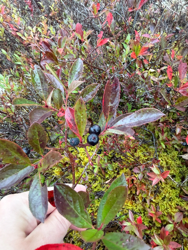
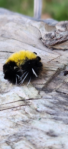
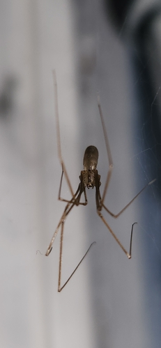
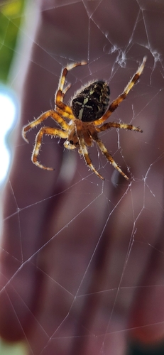
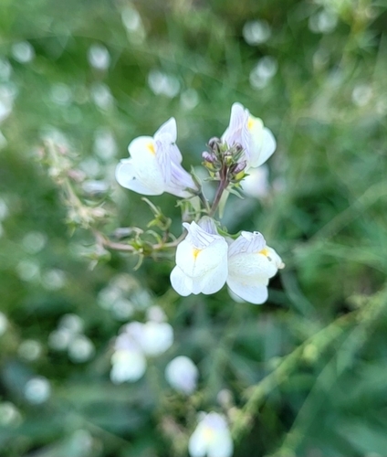
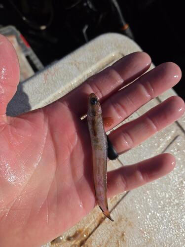
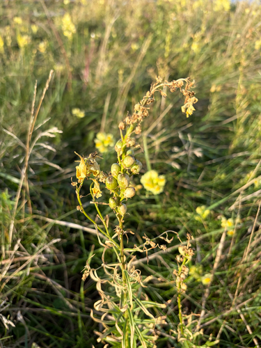
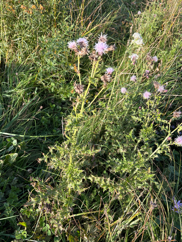
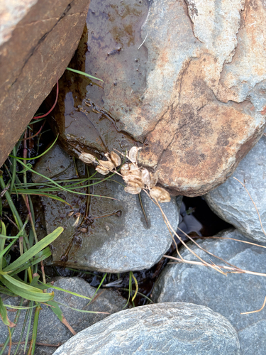
Research-grade observations from iNaturalist (within ~15 mi).
Events
Gallery
Official Identifiers
StatCan — Statistics Canada
- SGC code
- 1001429
- Wikidata
- Q2366189
Standard Geographical Classification (SGC) via Wikidata P3012
Sources
- • Wikipedia
- • Wikidata
- • USGS Earthquake Catalog (global feed)
- • GBIF (Global Biodiversity Information Facility)
- • iNaturalist
- • Open-Meteo / sunrise-sunset.org
- • Wikipedia Pageviews API
- • StatCan — Statistics Canada — Standard Geographical Classification (SGC) via Wikidata P3012