Browse / Canada / British Columbia / Cowishulth
Cowishulth
British Columbiahamlet
Demographic figures from Statistics Canada. Overview below cites Wikipedia and may reference a different year.
City facts
Overview
Cowishulth is a hamlet located in British Columbia, Canada. Its coordinates of 48.976°, -124.997° place it in the temperate zone of the northern hemisphere. No reliable population estimate is published for this entry in the open data we rely on. Solar-resource estimates put the area at about 1,200 kWh/m² of solar irradiance per year with sunshine for roughly 47% of daylight hours. Based on its temperate position, residents likely encounter four distinct seasons with warm summers and cold winters. Further detail — demographics, climate, nearby amenities and natural-hazard data — is compiled below from public open-data sources.
Summary composed automatically from structured open data on this page. See our Terms for details.
History & geography
Geography
Coordinates & boundaries from the US Census TIGER/Line shapefiles.
Climate
Air quality
Walkability
Amenities nearby
Wildlife & biodiversity
Most-observed species
- ocean shrimpPandalus jordani M.J.Rathbun, 1902 · Malacostraca2,235
- sidestripe shrimpPandalus dispar (M.J.Rathbun, 1902) · Malacostraca1,312
- ochre starsPisaster ochraceus (Brandt, 1835) · Asteroidea924
- Bald EagleHaliaeetus leucocephalus (Linnaeus, 1766) · Aves440
- giant green anemoneAnthopleura xanthogrammica (Brandt, 1835) · Anthozoa423
- Leather starDermasterias imbricata (Grube, 1857) · Asteroidea407
- purple shore crabHemigrapsus nudus (Dana, 1851) · Malacostraca381
- American RobinTurdus migratorius Linnaeus, 1766 · Aves362
Citizen-science & research observations from the Global Biodiversity Information Facility (GBIF).
Earthquake history
Most recent
- M 3.18 — 2026-09-1521 km SSW of Ucluelet, Canada
- M 2.6 — 2025-09-1814 km SW of Cowichan Bay, Canada
- M 3.7 — 2025-08-1917 km NNW of Sekiu, Washington
- M 3 — 2025-05-0119 km E of Ucluelet, Canada
- M 2.57 — 2024-10-2934 km WSW of Neah Bay, Washington
- M 2.58 — 2024-08-0726 km S of Ucluelet, Canada
Events from the USGS Earthquake Catalog (global) (FDSN Event Web Service).
Photos
Sights & places nearby
Notable people from here
Nearby places in British Columbia
Geography & sun
Elevation, sunrise/sunset and daylight from Open-Meteo. Solar climatology from NASA POWER.
Nearby airports
Public attention
Books about this place
Recent natural events nearby
- Wildfire Electric, Whatcom, WashingtonWildfires · 2026-08-22 · 164 mi
- Wildfire Thunder Creek, Skagit, WashingtonWildfires · 2026-08-22 · 183 mi
- Wildfire SISI, Chelan, WashingtonWildfires · 2026-08-14 · 195 mi
- Wildfire KING, Kittitas, WashingtonWildfires · 2026-08-19 · 201 mi
- Wildfire GOAT, Kittitas, WashingtonWildfires · 2026-08-22 · 210 mi
- Wildfire SINLAHEKIN, Okanogan, WashingtonWildfires · 2026-07-26 · 242 mi
Wildfires, storms and other events from NASA EONET (last 12 months, within 250 mi).
Ground air-quality sensors
Recently spotted species
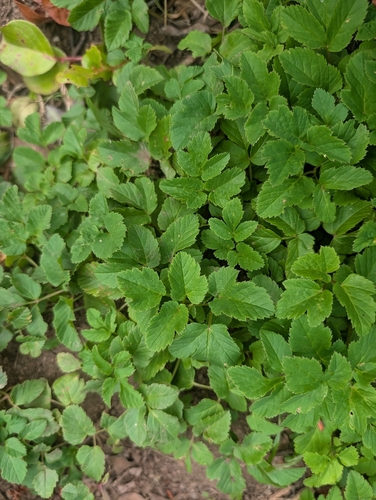
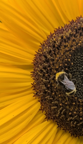
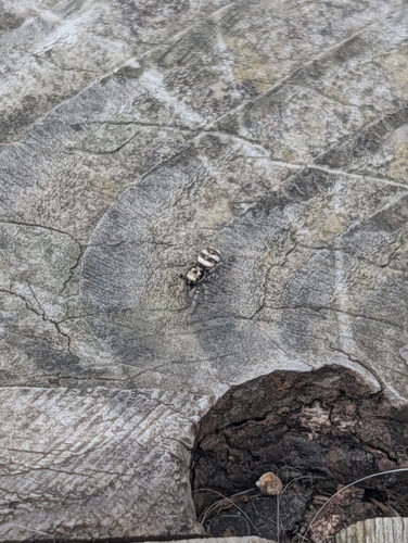
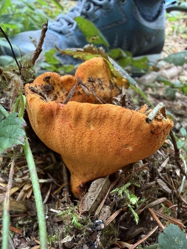
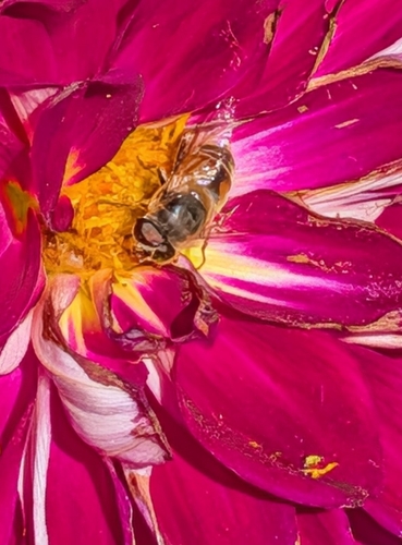
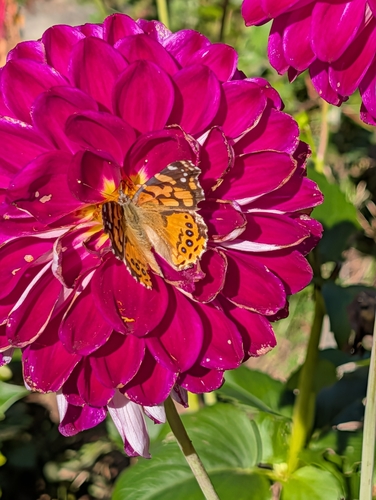
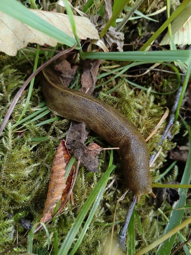
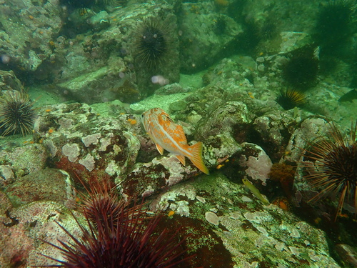
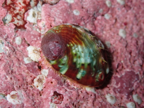
Research-grade observations from iNaturalist (within ~15 mi).
Events
Gallery
Sources
- • Wikidata
- • USGS Earthquake Catalog (global feed)
- • GBIF (Global Biodiversity Information Facility)
- • iNaturalist
- • Open-Meteo / sunrise-sunset.org
- • NASA EONET