Browse / Canada / Alberta / Darwell
Darwell
Albertahamlet
No image yet
Coordinates53.67°, -114.59°
Demographic figures from Statistics Canada. Overview below cites Wikipedia and may reference a different year.
Loading additional data from public sources…0 / 11
CensusWikipediaWeatherPlacesPeopleEnvironmentHealth & SchoolsRelatedGeography & CultureLive MonitoringEvents & Gallery
0% completeCity facts
Overview
Darwell is a name found as a given name, a surname, and a place name.
Read more on WikipediaHistory & geography
Geography
Latitude
53.6706
Longitude
-114.5910
Water area
—
Coordinates & boundaries from the US Census TIGER/Line shapefiles.
Climate
Air quality
Walkability
Amenities nearby
Wildlife & biodiversity
Observations (last 5 yrs, 10 mi)
23,163
Distinct species (top 10)
10
Most-observed species
- Black-capped ChickadeePoecile atricapillus (Linnaeus, 1766) · Aves1,341
- Blue JayCyanocitta cristata (Linnaeus, 1758) · Aves867
- Downy WoodpeckerDryobates pubescens (Linnaeus, 1766) · Aves761
- White-breasted NuthatchSitta carolinensis Latham, 1790 · Aves663
- Common RavenCorvus corax Linnaeus, 1758 · Aves583
- Canada Goose (canadensis Group)Branta canadensis (Linnaeus, 1758) · Aves521
- American RobinTurdus migratorius Linnaeus, 1766 · Aves517
- MallardAnas platyrhynchos Linnaeus, 1758 · Aves515
Citizen-science & research observations from the Global Biodiversity Information Facility (GBIF).
Earthquake history
Quakes ≥ 2.5 (25 yrs, 62 mi)
1
Largest magnitude
4.3
Largest event
2026-04-01
Most recent
- M 4.3 — 2026-04-0110 km N of Bon Accord, Canada
Events from the USGS Earthquake Catalog (global) (FDSN Event Web Service).
Photos
Sights & places nearby
Notable people from here
Nearby places in Alberta
- Fallis7 mi away
- Cherhill11 mi away
- Old Entwistle16.5 mi away
- Entwistle17.2 mi away
- Keephills18.7 mi away
- Tomahawk20.2 mi away
- Rochfort Bridge Hutterite Colony20.3 mi away
- Spruce Grove29.5 mi away · pop. 37,645
- Warburg Hutterite Colony30.6 mi away
- Highridge31.2 mi away
- Morinville Hutterite Colony33.4 mi away
- Busby34.5 mi away · pop. 140
Geography & sun
Avg solar (kWh/m²/day)
3.41
Annual solar (kWh/m²)
1,246
Elevation, sunrise/sunset and daylight from Open-Meteo. Solar climatology from NASA POWER.
Nearby airports
Public attention
Wikipedia views (last 30 days)
6
Avg daily Wikipedia views
0
Attention level
Obscure
Pageview totals from the Wikimedia Pageviews API.
Books about this place
Recent natural events nearby
Ground air-quality sensors
Recently spotted species
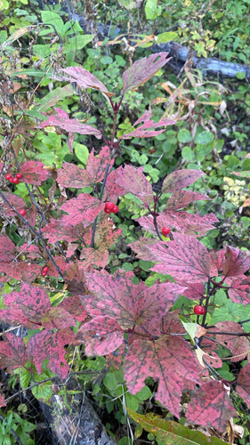
squashberry
Viburnum edule
Seen 2026-09-15
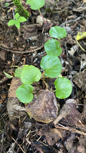
bog wintergreen
Pyrola asarifolia
Seen 2026-09-15
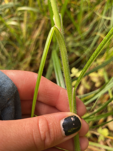
wheat sedge
Carex atherodes
Seen 2026-09-14
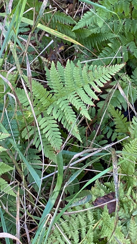
spinulose wood fern
Dryopteris carthusiana
Seen 2026-09-14
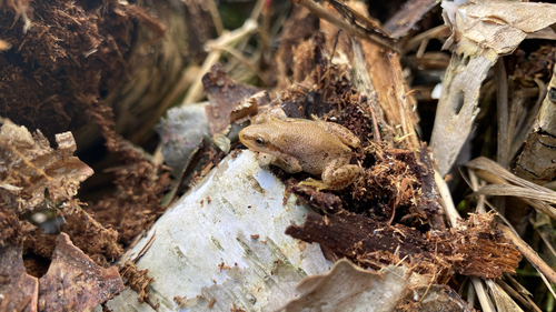
Boreal Chorus Frog
Pseudacris maculata
Seen 2026-09-14
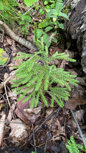
prickly tree-clubmoss
Dendrolycopodium dendroideum
Seen 2026-09-14
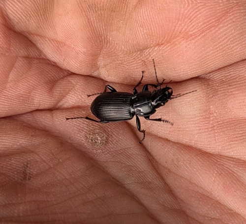
Rain Beetle
Pterostichus melanarius
Seen 2026-09-11
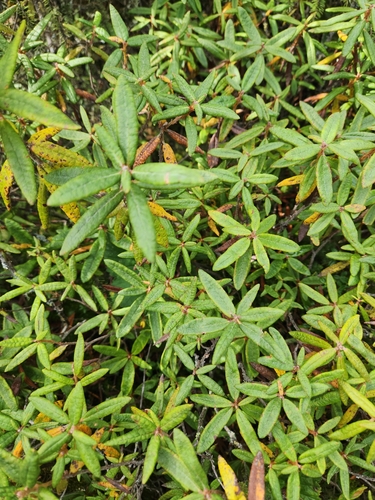
Bog Labrador Tea
Rhododendron groenlandicum
Seen 2026-09-10
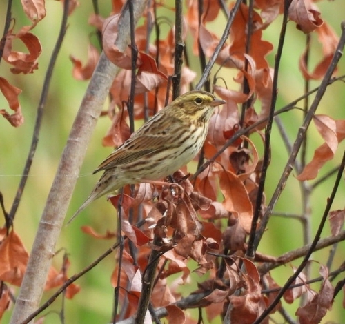
Savannah Sparrow
Passerculus sandwichensis
Seen 2026-09-09
Research-grade observations from iNaturalist (within ~15 mi).
Events
Gallery
Sources
- • Wikipedia
- • Wikidata
- • USGS Earthquake Catalog (global feed)
- • GBIF (Global Biodiversity Information Facility)
- • iNaturalist
- • Open-Meteo / sunrise-sunset.org
- • Wikipedia Pageviews API