Browse / Canada / Northwest Territories / Dettah
Dettah
Northwest Territoriesvillage

Dettah
Demographic figures from Statistics Canada. Overview below cites Wikipedia and may reference a different year.
City facts
Facts from Wikidata (CC0).
Overview
Dettah, sometimes spelled incorrectly as Detah, is a First Nations community in the North Slave Region of the Northwest Territories, Canada. Located just southeast of the capital of Yellowknife, it is a 6.5 km (4.0 mi) drive from that city by ice road across the north arm of Great Slave Lake in winter or a 27 km (17 mi) drive via the Ingraham Trail, year-round. The name T'é?ehdaá means 'Burnt Point' in the Wíílíídeh dialect and was simplified to Dettah when non-Indigenous people could not pronounce it. The place was a common fishing spot for the Tetsǫ́tʼine (Yellowknives) people and is home to nearly 200 Indigenous people.
Read more on WikipediaHistory & geography
Geography
Coordinates & boundaries from the US Census TIGER/Line shapefiles.
Climate
Air quality
Walkability
Amenities nearby
Wildlife & biodiversity
Earthquake history
Photos
Sights & places nearby
Notable people from here
Nearby places in Northwest Territories
- Ndilǫ4.4 mi away
- Thompson Lake30.3 mi away
- Łutsel K'e114.3 mi away · pop. 300
- Hay River120.5 mi away · pop. 3,606
- Wekweètì123 mi away · pop. 136
- Fort Providence131.1 mi away · pop. 770
- Gamèti150.9 mi away
- Salt River173.6 mi away
- Cunningham Landing180 mi away
- Jean Marie River214 mi away
- Fort Simpson230.6 mi away · pop. 1,174
- Sambaa K'e266.4 mi away
Geography & sun
Nearby airports
Public attention
Books about this place
Recent natural events nearby
Ground air-quality sensors
Recently spotted species
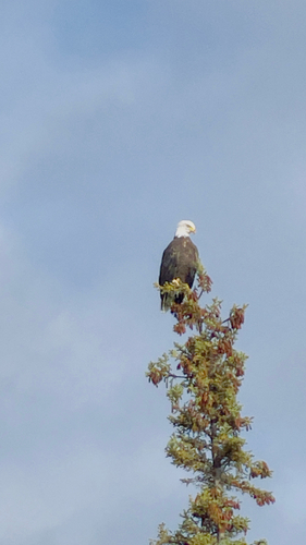
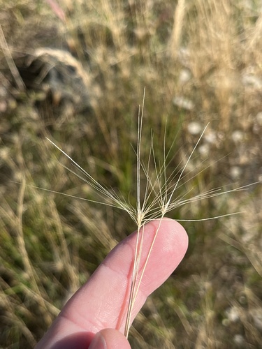
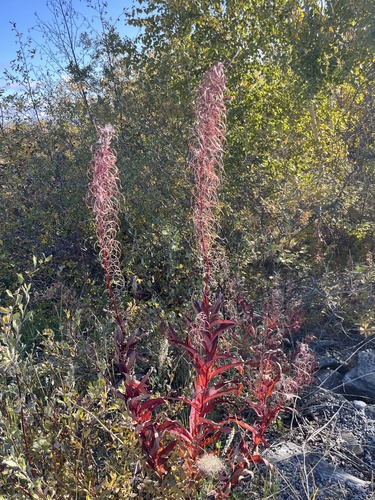
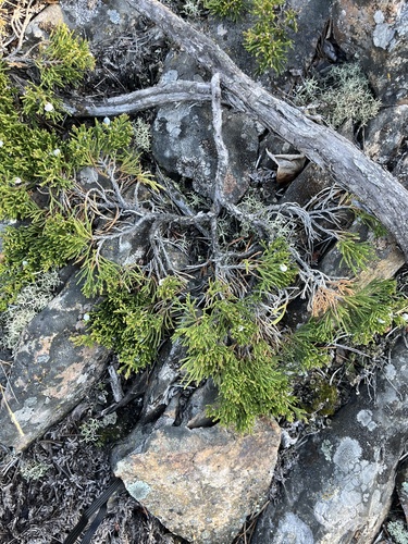
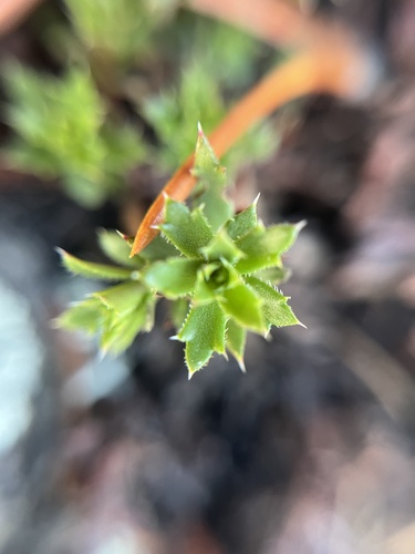
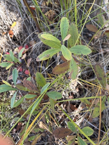
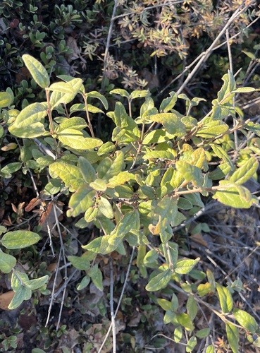
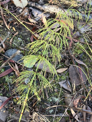
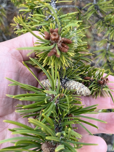
Research-grade observations from iNaturalist (within ~15 mi).
Events
Gallery
Official Identifiers
StatCan — Statistics Canada
- SGC code
- 6106021
- Population (Wikidata)
- 219
- Wikidata
- Q5266075
Standard Geographical Classification (SGC) via Wikidata P3012
Sources
- • Wikipedia
- • Wikidata
- • iNaturalist
- • StatCan — Statistics Canada — Standard Geographical Classification (SGC) via Wikidata P3012