Browse / Canada / Northwest Territories / Hay River
Hay River
Northwest Territoriestown

Hay River
Total population
3,606
Founded
1963
Air quality index
Demographic figures from Statistics Canada. Overview below cites Wikipedia and may reference a different year.
City facts
Facts from Wikidata (CC0).
Overview
Hay River, known as "the Hub of the North", is a town in the Northwest Territories, Canada. The town is located on the south shore of Great Slave Lake at the mouth of the Hay River. It is separated into two sections: A new town and an old town. The Hay River/Merlyn Carter Airport is located between the two sections. The town is situated in the South Slave Region, and along with Fort Smith, the town is home to one of the two regional offices in the region.
Read more on WikipediaHistory & geography
History
The area has been in use by First Nations, known as the Long Spear people, as far back as 7000 BC. A school, health centre and the Royal Canadian Mounted Police followed, and as part of the Canol Road project the United States Army Corps of Engineers built a runway on Vale Island in the Hay River delta. In 1948 the Government of Canada built a gravel road, now the Mackenzie Highway, from Grimshaw, Alberta to Hay River, making it the first community in the NWT to be linked with southern Canada. In 1959, the Northern Transportation Company Limited located their main base in Hay River and over the years developed the facilities. Today the base is the major staging point for the annual sealift along the Mackenzie River, via Inuvik and Tuktoyaktuk and the communities of the Arctic Ocean, as far east as Taloyoak, Nunavut and west to Utqiagvik, Alaska. In 1963, Vale Island, the historical location of the town, was severely flooded. As a response, the town was moved to the new location upstream. By 1964, as part of the Pine Point Mine development, the Mackenzie Northern Railway was constructed. Ice jams built up in two channels, and combined with a wide-ranging storm system, and already waterlogged ground resulted in a larger than normal flood. Hay River also flooded in 1963, On 25 August 2023 the entire town population was ordered to evacuate by the government of the Northwest Territories due to the 2023 Canadian wildfires.
Excerpted from the corresponding Wikipedia article (CC BY-SA).
Geography
Coordinates & boundaries from the US Census TIGER/Line shapefiles.
Climate
Air quality
Current readings from Open-Meteo Air Quality API (Copernicus CAMS European reanalysis).
Walkability
Amenities nearby
Wildlife & biodiversity
Most-observed species
- Common RavenCorvus corax Linnaeus, 1758 · Aves513
- Black-billed MagpiePica hudsonia (Sabine, 1823) · Aves489
- Ring-billed GullLarus delawarensis Ord, 1815 · Aves292
- Black-capped ChickadeePoecile atricapillus (Linnaeus, 1766) · Aves286
- American RobinTurdus migratorius Linnaeus, 1766 · Aves278
- Bald EagleHaliaeetus leucocephalus (Linnaeus, 1766) · Aves253
- American CrowCorvus brachyrhynchos C.L.Brehm, 1822 · Aves247
- MallardAnas platyrhynchos Linnaeus, 1758 · Aves225
Citizen-science & research observations from the Global Biodiversity Information Facility (GBIF).
Earthquake history
Events from the USGS Earthquake Catalog (global) (FDSN Event Web Service).
Photos
Sights & places nearby
Notable people from here
Nearby places in Northwest Territories
- Enterprise21.5 mi away · pop. 75
- Buffalo River25.6 mi away
- Kakisa55.4 mi away · pop. 45
- Fort Providence72.4 mi away · pop. 770
- Rocher River108.9 mi away
- Rat River109.4 mi away
- Dettah120.5 mi away
- Ndilǫ124.1 mi away
- Salt River130.5 mi away
- Cunningham Landing136.2 mi away
- Fort Smith144.2 mi away · pop. 2,248
- Thompson Lake145.8 mi away
Geography & sun
Elevation, sunrise/sunset and daylight from Open-Meteo. Solar climatology from NASA POWER.
Nearby airports
Public attention
Pageview totals from the Wikimedia Pageviews API.
Books about Hay River




Search results from Open Library.
Recent natural events nearby
Ground air-quality sensors
Recently spotted species
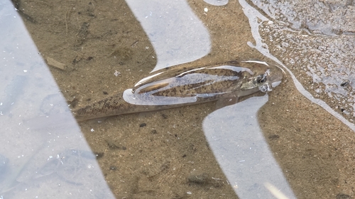
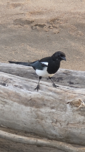
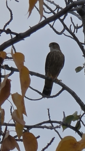
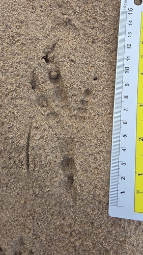
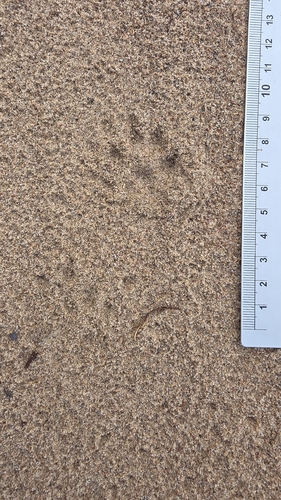
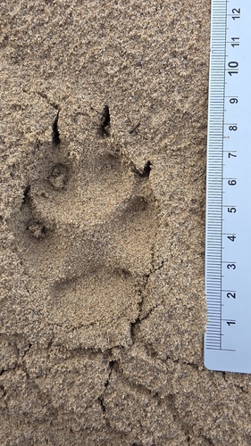
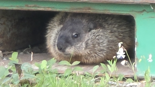
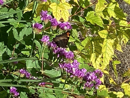
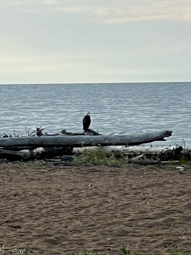
Research-grade observations from iNaturalist (within ~15 mi).
Events
Gallery
Geotagged photos within ~6 miles of Hay River, from Wikimedia Commons contributors.
 0.2 mi
 0.2 mi
 0.2 mi
 0.2 mi
 0.2 mi
.jpg) 0.2 mi
0.2 mi.jpg) 0.2 mi
0.2 mi.jpg) 0.2 mi
0.2 mi.jpg) 0.2 mi
0.2 mi.jpg) 0.2 mi
0.2 mi.jpg) 0.2 mi
0.2 mi.jpg) 0.2 mi
0.2 mi.jpg) 0.2 mi
0.2 mi.jpg) 0.2 mi
0.2 mi.jpg) 0.2 mi
0.2 mi.jpg) 0.2 mi
0.2 mi.jpg) 0.2 mi
0.2 mi.jpg) 0.2 mi
0.2 mi.jpg) 0.2 mi
0.2 mi.jpg) 0.2 mi
0.2 mi.jpg) 0.2 mi
0.2 mi.jpg) 0.2 mi
0.2 mi.jpg) 0.2 mi
0.2 mi.jpg) 0.2 mi
0.2 miPhotos via Wikimedia Commons — see each image page for license & attribution.
Official Identifiers
StatCan — Statistics Canada
- SGC code
- 6105016
- Population (Wikidata)
- 3,528
- Wikidata
- Q1013062
Standard Geographical Classification (SGC) via Wikidata P3012
Sources
- • Wikipedia
- • Wikimedia Commons
- • Wikidata
- • Open-Meteo Air Quality (CAMS)
- • USGS Earthquake Catalog (global feed)
- • GBIF (Global Biodiversity Information Facility)
- • iNaturalist
- • Open-Meteo / sunrise-sunset.org
- • Wikipedia Pageviews API
- • Open Library
- • StatCan — Statistics Canada — Standard Geographical Classification (SGC) via Wikidata P3012