Browse / Canada / Northwest Territories / Fort Smith
Fort Smith
Northwest Territoriestown

Fort Smith
Total population
2,248
Founded
1874
Demographic figures from Statistics Canada. Overview below cites Wikipedia and may reference a different year.
City facts
Facts from Wikidata (CC0).
Overview
Fort Smith is a town in the South Slave Region of the Northwest Territories (NWT), Canada. It is located in the southeastern portion of the Northwest Territories, on the Slave River and adjacent to the Alberta border along the 60th parallel north.
Read more on WikipediaHistory & geography
History
Fort Smith was founded around the Slave River. It served a vital link for water transportation between southern Canada and the western Arctic. Early fur traders found a portage route, long established by indigenous peoples, from what is now Fort Fitzgerald on the western bank of the Slave River to Fort Smith. This route allowed its users to bypass the four sets of impassable rapids (Cassette Rapids, Pelican Rapids, Mountain Rapids, and Rapids of the Drowned). The portage trail had been traditionally used for centuries by generations of local Indigenous peoples. In 1886, the Hudson's Bay Company launched the steam-propelled vessel SS Wrigley to run from Fort Smith to the Mackenzie River. The steamer ran the Slave River from Fort McMurray to the head of the rapids at Smith's Landing beginning in 1882. In 1898, the Yukon Gold Rush brought many gold seekers over the portages and through Fort Smith. In 1908, a new HBC steamer paddlewheeler, SS Mackenzie River, was launched to operate on the Slave and Mackenzie rivers below Fort Smith (see boats of the Mackenzie River watershed). In 1911, government was established in Fort Smith when Ottawa sent an Indian agent and a regional medical doctor, and the Royal Northwest Mounted Police opened a detachment. With these developments, Fort Smith became not only the transportation centre for the western Arctic but the administrative centre as well. The mission sawmill produced lumber for the first hospital, St. Anne's, built in 1914 for the Grey Nuns. The sawmill also supplied the lumber for the first school, built in 1915. The Roman Catholic Mission also operated St. Bruno's Farm, which supplied produce, meat, and dairy products. Until it was closed in the 1920s, the farm supplied all the church's missions in the western Arctic.…
Geography
The town is approximately southeast of Yellowknife, the territorial capital. The park headquarters for Wood Buffalo National Park is located in Fort Smith. The headquarters and Thebacha Campus of Aurora College is located in Fort Smith; it is the largest of the three campus locations in the Northwest Territories. Fort Smith is located in the South Slave Region (administrative) and Region 5, Northwest Territories (census division). The town was previously in the Fort Smith Region census division. Fort Smith is accessible all year long via the Fort Smith Highway. A winter road operates for several months to connect Fort Smith to Fort Chipewyan and from there to Fort McMurray. An all-weather road named Pine Lake Road links Fitzgerald. Fort Smith has a dry continental subarctic climate (Koppen: Dfc) with very long winters combined with warm but relatively short summers. The highest temperature ever recorded in Fort Smith was on June 30, 2021, The coldest temperature ever recorded was on December 26, 1917.
Excerpted from the corresponding Wikipedia article (CC BY-SA).
Geography
Coordinates & boundaries from the US Census TIGER/Line shapefiles.
Climate
Air quality
Walkability
Amenities nearby
Wildlife & biodiversity
Earthquake history
Photos
Sights & places nearby
Notable people from here


People born within ~10 km, from Wikidata (CC0). Click any name for their Wikipedia article.
Nearby places in Northwest Territories
- Hay River144.2 mi away · pop. 3,606
- Łutsel K'e170.3 mi away · pop. 300
- Ndilǫ188.9 mi away
- Behchokǫ̀235.1 mi away · pop. 1,926
- Jean Marie River312.6 mi away
- Sambaa K'e322.1 mi away
- Gamèti334.1 mi away
- Fort Simpson342.2 mi away · pop. 1,174
- Fort Liard398.4 mi away · pop. 537
- Délı̨nę510.9 mi away · pop. 550
- Fort Good Hope674.5 mi away
- Paulatuk735.7 mi away · pop. 294
Geography & sun
Elevation, sunrise/sunset and daylight from Open-Meteo. Solar climatology from NASA POWER.
Nearby airports
Public attention
Pageview totals from the Wikimedia Pageviews API.
Books about Fort Smith

Search results from Open Library.
Recent natural events nearby
Ground air-quality sensors
Recently spotted species
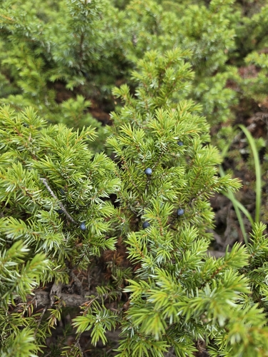
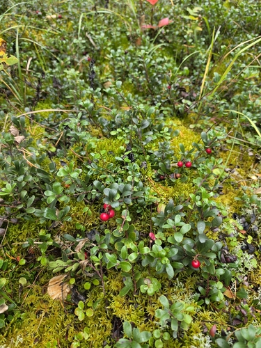
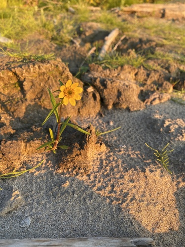
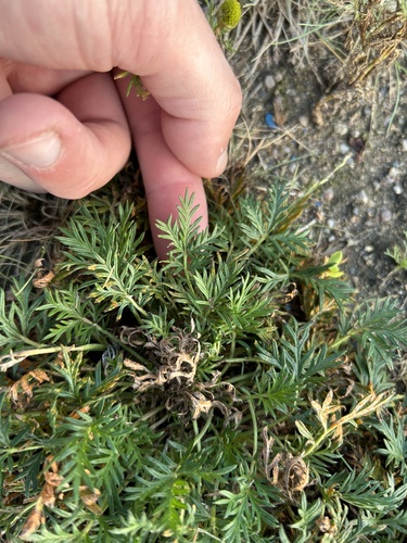
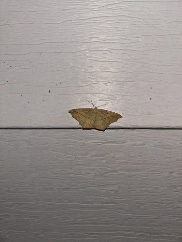
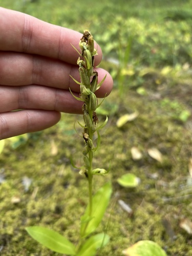
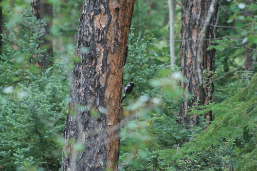
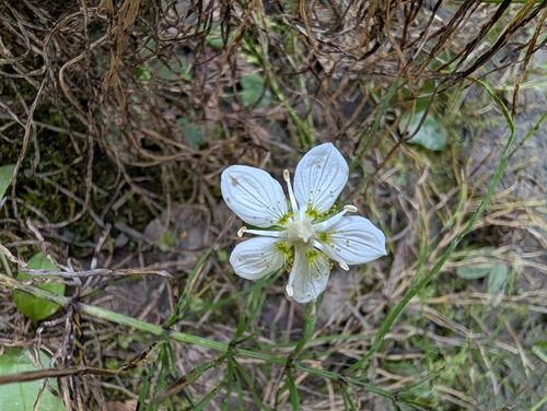
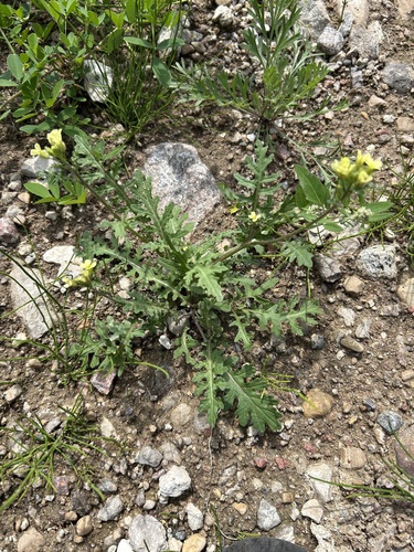
Research-grade observations from iNaturalist (within ~15 mi).
Events
Gallery
Official Identifiers
StatCan — Statistics Canada
- SGC code
- 6105001
- Population (Wikidata)
- 2,248
- Wikidata
- Q686415
Standard Geographical Classification (SGC) via Wikidata P3012
Sources
- • Wikipedia
- • Wikidata
- • iNaturalist
- • Open-Meteo / sunrise-sunset.org
- • Wikipedia Pageviews API
- • Open Library
- • StatCan — Statistics Canada — Standard Geographical Classification (SGC) via Wikidata P3012