Browse / Canada / Northwest Territories / Rocher River
Rocher River
Northwest Territorieshamlet
Demographic figures from Statistics Canada. Overview below cites Wikipedia and may reference a different year.
City facts
Overview
Rocher River is an abandoned community in the South Slave Region of the Northwest Territories, Canada. The community was situated near the mouth of the Taltson River, which drains into Great Slave Lake. Dene trading chief Pierre Snuff built the first cabins in this area in the early 20th century, on what is called Snuff Channel, east of the later village. By 1921, the Hudson's Bay Company established a trading post at Rocher River. Independent traders followed including Northern Traders Limited (1923), Frank Morrison (1924), and Ed Demelt (1935) and the area grew into a bustling trading centre. At the time, the area was a very rich hunting and trapping area for the Dene and Metis people living on the south shore of Great Slave Lake including the Slavey, Chipeywan, and Yellowknives tribes. By the 1950s Rocher River included a government day school, two trading posts, post office, and a church, with a population of about 150. The manager of the Hudson's Bay Company post at Rocher River in the early 1940s was Ralph Jardine. On April 25, 1944, the warehouses of the HBC burned down but were immediately rebuilt.
Read more on WikipediaHistory & geography
Geography
Coordinates & boundaries from the US Census TIGER/Line shapefiles.
Climate
Air quality
Walkability
Amenities nearby
Wildlife & biodiversity
Earthquake history
Photos
Sights & places nearby
Notable people from here
Nearby places in Northwest Territories
- Dettah87.3 mi away
- Thompson Lake88.3 mi away
- Salt River90.1 mi away
- Ndilǫ91.4 mi away
- Cunningham Landing96.1 mi away
- Łutsel K'e96.2 mi away · pop. 300
- Hay River108.9 mi away · pop. 3,606
- Fort Providence162.4 mi away · pop. 770
- Wekweètì199.1 mi away · pop. 136
- Gamèti238.2 mi away
- Jean Marie River260.3 mi away
- Fort Simpson284.5 mi away · pop. 1,174
Geography & sun
Elevation, sunrise/sunset and daylight from Open-Meteo. Solar climatology from NASA POWER.
Nearby airports
Public attention
Pageview totals from the Wikimedia Pageviews API.
Books about this place
Recent natural events nearby
Ground air-quality sensors
Recently spotted species
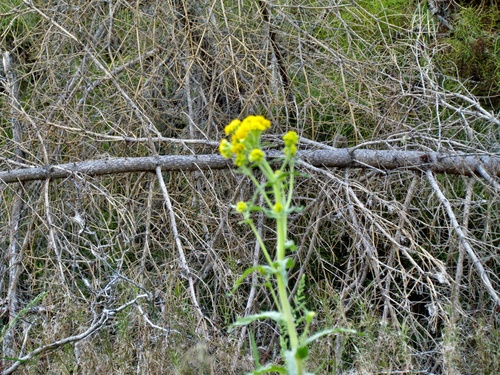
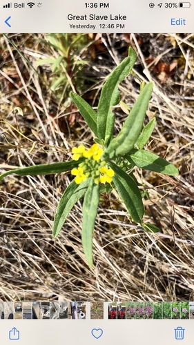

Research-grade observations from iNaturalist (within ~15 mi).
Events
Gallery
Sources
- • Wikipedia
- • Wikidata
- • iNaturalist
- • Open-Meteo / sunrise-sunset.org
- • Wikipedia Pageviews API