Browse / United States / California / East Palo Alto
East Palo Alto
Californiacity

East Palo Alto
Total population
29,069
Median home value
$1,102,600
Bachelor's+
Median income
$113,493
Demographic figures from US Census Bureau · ACS 5-year estimates. Overview below cites Wikipedia and may reference a different year.
- Coastal Flood Advisory · MinorCoastal Flood Advisory issued October 1 at 12:20PM PDT until October 2 at 6:00PM PDT by NWS San Francisco CA
- Heat Advisory · ModerateHeat Advisory issued October 1 at 9:43AM PDT until October 4 at 10:00PM PDT by NWS San Francisco CA
Source: NOAA National Weather Service.
City facts
Facts from Wikidata (CC0).
Overview
East Palo Alto is a city in San Mateo County, California, United States. As of the 2020 census, the population of East Palo Alto was 30,034. It is situated on the San Francisco Peninsula, roughly halfway between the cities of San Francisco and San Jose. To the north and east is the San Francisco Bay, to the west is the city of Menlo Park, and to the south the city of Palo Alto. East Palo Alto was founded as an unincorporated community and was incorporated in July 1983. The two cities are separated only by San Francisquito Creek and, largely, the Bayshore Freeway. The revitalization projects in 2000, and high income high-tech professionals moving into new developments, including employees from Google and Facebook, have begun to slowly eliminate the historically wide cultural and economic differences between the two cities. East Palo Alto and Palo Alto share both telephone area codes and postal ZIP codes.
Read more on WikipediaHistory & geography
History
The Ohlone tribe of Native Americans inhabited this area at least by 1500 to 1000 BC. One tumulus was discovered in 1951 during development of the University Village subdivision near today's Costaño School. After a year-long excavation of 60 graves and 3,000 artifacts, researchers concluded Native Americans had utilized the area as a cemetery and camp, rather than as a permanent settlement. In later years another mound was found near Willow Road and the railroad right-of-way. From the 1850s through the 1940s, the area which was to become East Palo Alto went through many changes. In 1849, Isaiah Churchill Woods (1825–1880) attempted to make the area around what is now Cooley Landing in the northeast of the current city a major shipping town and named the area Ravenswood. In 1868, after Woods' investments failed he sold the wharf to Lester Phillip Cooley (1837–1882), who leased the land to the brick factory Hunter and Schakleford. When the brick factory left the landing in 1884, the land around the landing was reverted to a ranch. In particular, in 1954 the then-president of the California Real Estate Association, Floyd Lowe, implemented a strategy that turned a neighborhood on the East side of Palo Alto from predominantly white to predominantly black in a very short amount of time. He did this by "blockbusting," which is a strategy that was employed all over the country to similar results. Blockbusting involves instilling panic in white neighborhoods by warning of a "Negro invasion" when a black family considers purchasing a house in an area, in order to produce white flight and an ensuing drop in property values, which can then be purchased at a heavy discount and sold or rented to African Americans for a profit. In 1954, Lowe alerted the neighborhood that a "Negro…
Geography
East Palo Alto is located in San Mateo County. Despite its name, it lies almost entirely north, and not east of Palo Alto. It is bordered on the west by Menlo Park, to the south by Palo Alto, and to the east by the San Francisco Bay. The San Francisquito Creek defines its southern edge. To the north are Ravenswood Point and the western end of the Dumbarton Bridge in Menlo Park. According to the United States Census Bureau, the city has a total area of , of which is land and of it (4.11%) is water.
Excerpted from the corresponding Wikipedia article (CC BY-SA).
Demographics & economy
Race & ethnicity
Source: US Census Bureau — American Community Survey, 5-year estimates.
Geography
Coordinates & boundaries from the US Census TIGER/Line shapefiles.
Climate
Current forecast
Forecast for East Palo Alto, CA from NOAA NWS API.
Air quality
Industrial & pollution facilities
Natural hazard risk
Health (adults)
Age-adjusted prevalence estimates from CDC PLACES (latest release).
Walkability
Amenities nearby
Wildlife & biodiversity
Schools
Largest nearby schools
- Carlmont HighHigh · Belmont · 2,322 students · 20.4:1 ratio
- Menlo-Atherton HighHigh · Atherton · 2,125 students · 19:1 ratio
- Sequoia HighHigh · Redwood City · 1,909 students · 17.8:1 ratio
- Woodside HighHigh · Woodside · 1,694 students · 16:1 ratio
- Bowditch MiddleMiddle · Foster City · 908 students · 19.7:1 ratio
- Hillview MiddleMiddle · Menlo Park · 867 students · 15.5:1 ratio
- KIPP Excelencia Community PreparatoryElementary · Redwood City · 733 students · 22.2:1 ratio
- John F. Kennedy MiddleMiddle · Redwood City · 706 students · 18.1:1 ratio
Public K–12 schools within ~10 mi from Urban Institute Education Data Portal (NCES Common Core of Data, 2022).
Earthquake history
Photos
Sights & places nearby
Notable people from here
Nearby places in California
- North Fair Oaks3.9 mi away
- Los Altos Hills7 mi away · pop. 8,377
- Portola Valley9 mi away
- La Honda12.5 mi away
- Fairview15.3 mi away · pop. 10,745
- Millbrae17.3 mi away · pop. 22,689
- East Foothills18.5 mi away · pop. 7,139
- El Granada18.5 mi away
- Pescadero20.5 mi away
- Norris Canyon20.8 mi away
- Lompico24.8 mi away
- Piedmont25.1 mi away
Geography & sun
Elevation, sunrise/sunset and daylight from Open-Meteo. Solar climatology from NASA POWER.
Nearby airports
Public attention
Pageview totals from the Wikimedia Pageviews API.
Books about East Palo Alto

Search results from Open Library.
Recent natural events nearby
- Wildfire GANN, Calaveras, CaliforniaWildfires · 2026-08-03 · 87 mi
- Wildfire Timber, Monterey, CaliforniaWildfires · 2026-08-09 · 89 mi
- Wildfire Plaskett, Monterey, CaliforniaWildfires · 2026-08-26 · 115 mi
- Wildfire FELIZ, Mendocino, CaliforniaWildfires · 2026-08-01 · 119 mi
- Wildfire LUCAS, Lake, CaliforniaWildfires · 2026-09-10 · 131 mi
- Wildfire LUCAS, Lake, CaliforniaWildfires · 2026-09-10 · 131 mi
- Wildfire DOME, Mariposa, CaliforniaWildfires · 2026-09-15 · 138 mi
- Wildfire FLORISTON, Nevada, CaliforniaWildfires · 2026-09-16 · 175 mi
Wildfires, storms and other events from NASA EONET (last 12 months, within 250 mi).
Ground air-quality sensors
Recently spotted species
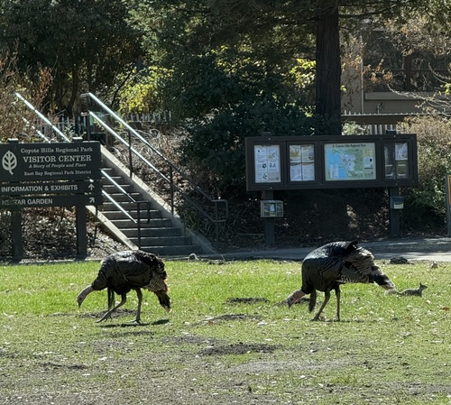
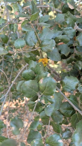
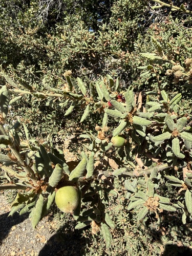
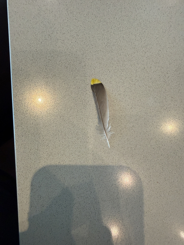
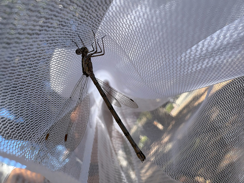
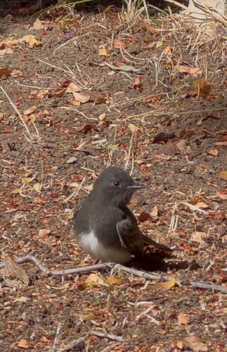
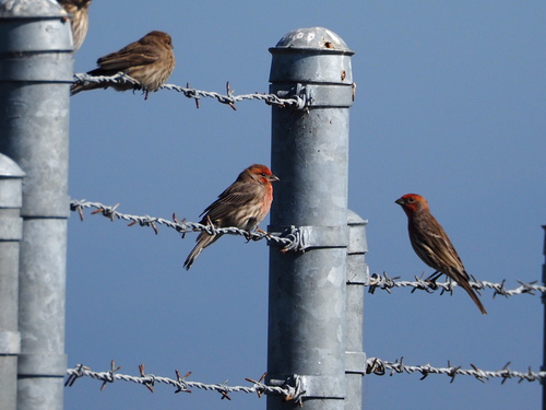
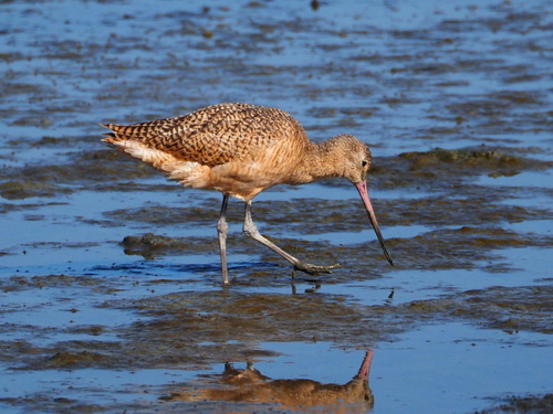
Research-grade observations from iNaturalist (within ~15 mi).
Nearest stream gauge
Events
Gallery
Sources
- • Wikipedia
- • US Census Bureau (ACS 5-year estimates)
- • NOAA National Weather Service
- • Wikidata
- • NCES via Urban Institute Education Data Portal
- • iNaturalist
- • CDC PLACES
- • Open-Elevation
- • Open-Meteo / sunrise-sunset.org
- • Wikipedia Pageviews API
- • Open Library
- • NASA EONET