Browse / Canada / Ontario / Emo
Emo
Ontariotown

Emo
Total population
1,252
Demographic figures from Statistics Canada. Overview below cites Wikipedia and may reference a different year.
City facts
Facts from Wikidata (CC0).
Overview
Emo is a small rural township, located along the Rainy River near the southwestern corner of northern Ontario, Canada, on the U.S. border directly north of the state of Minnesota. Emo had a population of 1,333 in the Canada 2016 Census and a population of 1,204 in the 2021 census.
Read more on WikipediaHistory & geography
History
Emo was officially created on July 1, 1899, and celebrated its centennial in 1999. Emo's first reeve was Alexander Luttrell, an Irishman who named the town after a namesake village in Ireland near where he was born. The council was composed of Charles Fisher, John Dungey, Benjamin Phillips, and Thomas Shortreed. The post office, Emo River, dates from 1887.
Excerpted from the corresponding Wikipedia article (CC BY-SA).
Geography
Coordinates & boundaries from the US Census TIGER/Line shapefiles.
Climate
Air quality
Walkability
Amenities nearby
Wildlife & biodiversity
Earthquake history
Photos
Sights & places nearby
Notable people from here
Nearby places in Ontario
- Rainy River3.5 mi away · pop. 842
- Big Grassy37.3 mi away
- Nigigoonsiminikaaning41.1 mi away
- Whitefish Bay53.8 mi away
- Sioux Narrows54.9 mi away
- Dryden91.6 mi away · pop. 7,617
- Redditt96.3 mi away · pop. 139
- Minaki100.8 mi away
- Atikokan101.2 mi away
- Ear Falls141.3 mi away · pop. 1,026
- Slate Falls200 mi away · pop. 186
- Silver Islet230.5 mi away
Geography & sun
Elevation, sunrise/sunset and daylight from Open-Meteo. Solar climatology from NASA POWER.
Nearby airports
Public attention
Pageview totals from the Wikimedia Pageviews API.
Books about Emo


Search results from Open Library.
Recent natural events nearby
Ground air-quality sensors
Recently spotted species
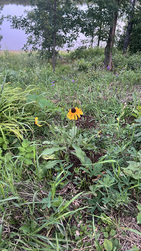
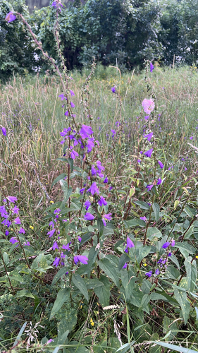
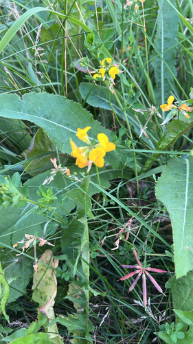
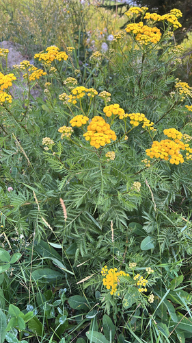
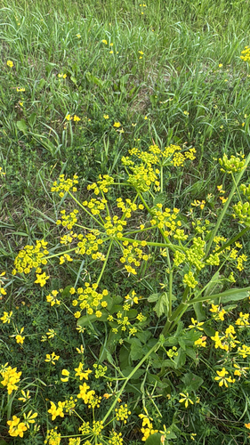
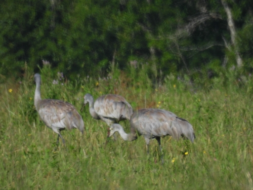
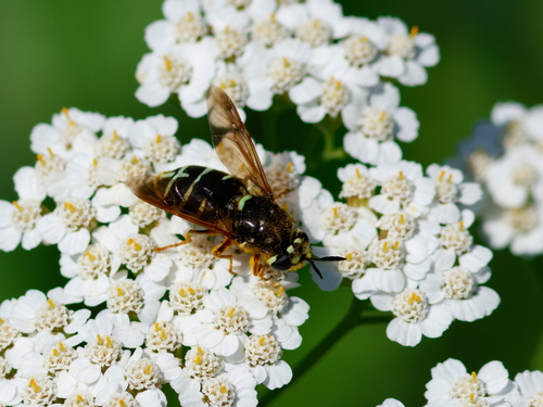

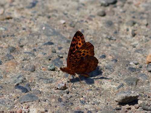
Research-grade observations from iNaturalist (within ~15 mi).
Events
Gallery
Official Identifiers
StatCan — Statistics Canada
- SGC code
- 3559019
- Wikidata
- Q5373643
Standard Geographical Classification (SGC) via Wikidata P3012
Sources
- • Wikipedia
- • Wikidata
- • iNaturalist
- • Open-Meteo / sunrise-sunset.org
- • Wikipedia Pageviews API
- • Open Library
- • StatCan — Statistics Canada — Standard Geographical Classification (SGC) via Wikidata P3012