Browse / Canada / Alberta / Enchant
Enchant
Albertavillage
Demographic figures from Statistics Canada. Overview below cites Wikipedia and may reference a different year.
City facts
Overview
Within Alberta, Canada, Enchant stands as a village. Located at 50.167°, -112.417°, Enchant occupies a cool-temperate portion of the northern hemisphere. Up-to-date population figures for this locality are not available in the open datasets we monitor. Solar-resource estimates put the area at about 1,376 kWh/m² of solar irradiance per year with sunshine for roughly 54% of daylight hours. Its latitude implies a climate characterised by long cool seasons and short, mild summers. Further detail — demographics, climate, nearby amenities and natural-hazard data — is compiled below from public open-data sources.
Summary composed automatically from structured open data on this page. See our Terms for details.
History & geography
Geography
Coordinates & boundaries from the US Census TIGER/Line shapefiles.
Climate
Air quality
Walkability
Amenities nearby
Wildlife & biodiversity
Most-observed species
- Canada Goose (canadensis Group)Branta canadensis (Linnaeus, 1758) · Aves67
- MallardAnas platyrhynchos Linnaeus, 1758 · Aves66
- Horned LarkEremophila alpestris (Linnaeus, 1758) · Aves54
- American CootFulica americana Gmelin, 1789 · Aves49
- Northern ShovelerSpatula clypeata (Linnaeus, 1758) · Aves45
- Northern PintailAnas acuta Linnaeus, 1758 · Aves40
- KilldeerCharadrius vociferus Linnaeus, 1758 · Aves39
- Red-winged BlackbirdAgelaius phoeniceus (Linnaeus, 1766) · Aves39
Citizen-science & research observations from the Global Biodiversity Information Facility (GBIF).
Earthquake history
Most recent
- M 2.9 — 2014-09-1213 km ENE of Picture Butte, Canada
- M 3.5 — 2008-01-0313 km SSE of Magrath, Canada
Events from the USGS Earthquake Catalog (global) (FDSN Event Web Service).
Photos
Sights & places nearby
Notable people from here
People born within ~10 km, from Wikidata (CC0). Click any name for their Wikipedia article.
Nearby places in Alberta
- Enchant Hutterite Colony4.9 mi away
- Lomond Hutterite Colony12.2 mi away
- Goldridge Hutterite Colony12.9 mi away
- Cameron Hutterite Colony18.2 mi away
- Armada Hutterite Colony20.6 mi away
- Shadow Ranch Hutterite Colony21.1 mi away
- Copperfield Hutterite Colony22.2 mi away
- Albion Ridge Hutterite Colony22.3 mi away
- Carmangay Hutterite Colony26.6 mi away
- Chin27.9 mi away
- Keho Lake Hutterite Colony29.3 mi away
- Hillridge Hutterite Colony31.1 mi away
Geography & sun
Elevation, sunrise/sunset and daylight from Open-Meteo. Solar climatology from NASA POWER.
Nearby airports
Public attention
Pageview totals from the Wikimedia Pageviews API.
Books about Enchant



Search results from Open Library.
Recent natural events nearby
- Wildfire Skillet, Lincoln, MontanaWildfires · 2026-07-29 · 160 mi
- Wildfire Middle Coulee, Chouteau, MontanaWildfires · 2026-08-02 · 180 mi
- Wildfire Deer Creek, Lincoln, MontanaWildfires · 2026-08-20 · 184 mi
- Wildfire Camp Creek, Powell, MontanaWildfires · 2026-08-21 · 192 mi
- Wildfire Parker Lake, Boundary, IdahoWildfires · 2026-08-23 · 209 mi
- Wildfire Silver, Boundary, IdahoWildfires · 2026-08-23 · 218 mi
- Wildfire Dudley, Shoshone, IdahoWildfires · 2026-08-26 · 241 mi
Wildfires, storms and other events from NASA EONET (last 12 months, within 250 mi).
Ground air-quality sensors
Recently spotted species
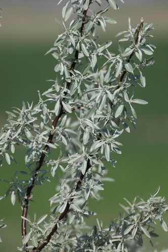
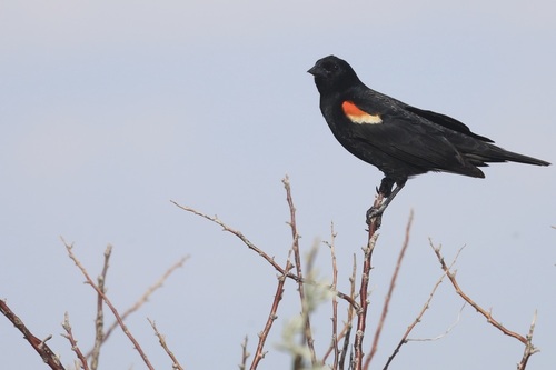
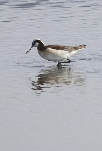
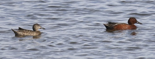
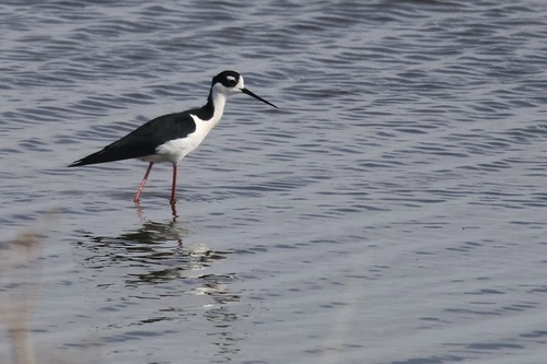
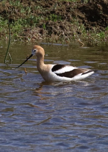
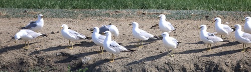
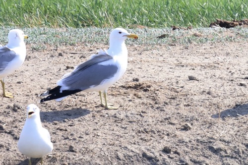
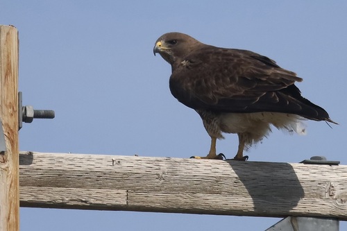
Research-grade observations from iNaturalist (within ~15 mi).
Events
Gallery
Sources
- • Wikidata
- • USGS Earthquake Catalog (global feed)
- • GBIF (Global Biodiversity Information Facility)
- • iNaturalist
- • Open-Meteo / sunrise-sunset.org
- • Wikipedia Pageviews API
- • Open Library
- • NASA EONET