Browse / Canada / Alberta / Ferintosh
Ferintosh
Albertavillage
Air quality index
Demographic figures from Statistics Canada. Overview below cites Wikipedia and may reference a different year.
City facts
Overview
Ferintosh is a village located in Alberta, Canada. Geographically it lies in the northern hemisphere at a cool temperate latitude (52.765°, -112.970°). No reliable population estimate is published for this entry in the open data we rely on. The latitude suggests long cool seasons and short, mild summers. Meteorological summaries report average highs near 48.5°F and lows near 30.6°F, together with about 20.6 in of annual precipitation (a relatively dry total). Open solar datasets indicate about 1,315 kWh/m² of solar irradiance per year, combined with sunshine for roughly 51% of daylight hours. The remainder of this page draws on open public data to describe the area's demographics, climate, environment and nearby amenities.
Summary composed automatically from structured open data on this page. See our Terms for details.
History & geography
Geography
Coordinates & boundaries from the US Census TIGER/Line shapefiles.
Climate
10-year averages from ERA5 reanalysis (Open-Meteo).
Air quality
Current readings from Open-Meteo Air Quality API (Copernicus CAMS European reanalysis).
Walkability
Amenities nearby
Wildlife & biodiversity
Most-observed species
- MallardAnas platyrhynchos Linnaeus, 1758 · Aves124
- Canada Goose (canadensis Group)Branta canadensis (Linnaeus, 1758) · Aves107
- Red-winged BlackbirdAgelaius phoeniceus (Linnaeus, 1766) · Aves107
- American CrowCorvus brachyrhynchos C.L.Brehm, 1822 · Aves103
- Black-billed MagpiePica hudsonia (Sabine, 1823) · Aves99
- Common RavenCorvus corax Linnaeus, 1758 · Aves92
- Northern ShovelerSpatula clypeata (Linnaeus, 1758) · Aves92
- American RobinTurdus migratorius Linnaeus, 1766 · Aves92
Citizen-science & research observations from the Global Biodiversity Information Facility (GBIF).
Earthquake history
Most recent
- M 3.8 — 2019-03-049 km NW of Red Deer, Canada
Events from the USGS Earthquake Catalog (global) (FDSN Event Web Service).
Photos
Sights & places nearby
Notable people from here
Nearby places in Alberta
- Silver Creek Hutterite Colony6.9 mi away
- Hartland Hutterite Colony11.3 mi away
- Rosalind Hutterite Colony13.6 mi away
- Pine Haven Hutterite Colony16.6 mi away
- Bittern Lake17.2 mi away · pop. 220
- Ohaton19.1 mi away
- ᒪᐢᑿᒌᐢ Maskwacis20.7 mi away
- Donalda Hutterite Colony23.9 mi away
- Camrose Hutterite Colony24.7 mi away
- Alix Hutterite Colony29.4 mi away
- Daysland30.3 mi away
- Red Willow Hutterite Colony30.3 mi away
Geography & sun
Elevation, sunrise/sunset and daylight from Open-Meteo. Solar climatology from NASA POWER.
Nearby airports
Public attention
Pageview totals from the Wikimedia Pageviews API.
Books about Ferintosh

Search results from Open Library.
Recent natural events nearby
Ground air-quality sensors
Recently spotted species
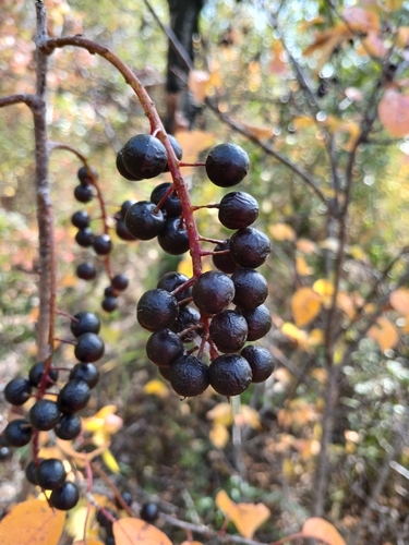
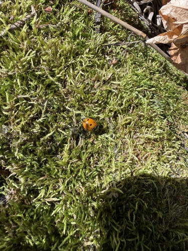
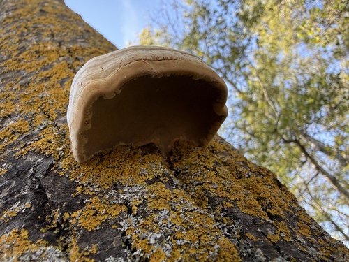
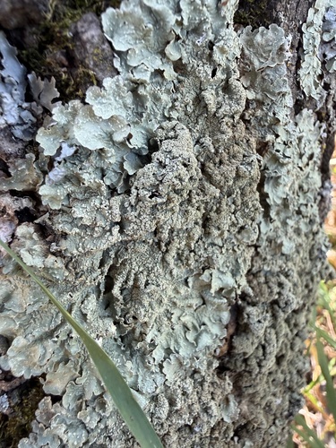
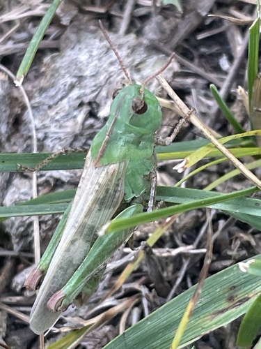
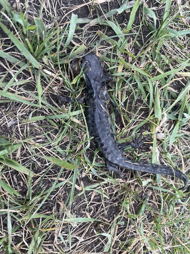
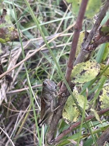
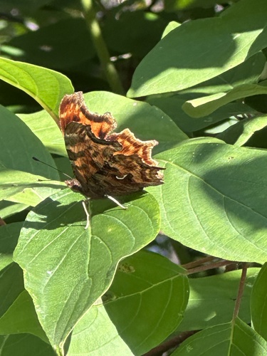
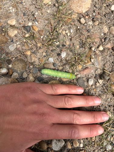
Research-grade observations from iNaturalist (within ~15 mi).
Events
Gallery
Official Identifiers
StatCan — Statistics Canada
- SGC code
- 4810004
- Population (Wikidata)
- 202
- Wikidata
- Q4434491
Standard Geographical Classification (SGC) via Wikidata P3012
Sources
- • Open-Meteo (ERA5 reanalysis)
- • Wikidata
- • Open-Meteo Air Quality (CAMS)
- • USGS Earthquake Catalog (global feed)
- • GBIF (Global Biodiversity Information Facility)
- • iNaturalist
- • Open-Meteo / sunrise-sunset.org
- • Wikipedia Pageviews API
- • Open Library
- • StatCan — Statistics Canada — Standard Geographical Classification (SGC) via Wikidata P3012