Browse / United States / California / Fieldbrook
Fieldbrook
CaliforniaCDP

Fieldbrook
Total population
736
Median home value
$603,400
Bachelor's+
Median income
$85,673
Demographic figures from US Census Bureau · ACS 5-year estimates. Overview below cites Wikipedia and may reference a different year.
City facts
Facts from Wikidata (CC0).
Overview
Fieldbrook is a census-designated place in Humboldt County, California, United States. It is located 7 miles (11 km) north-east of Arcata, at an elevation of 203 feet (62 m). The population was 827 at the 2020 census.
Read more on WikipediaHistory & geography
History
A post office operated in Fieldbrook from 1902 to 1932.
Geography
Fieldbrook is located on California's North Coast, approximately north of San Francisco and south of the Oregon state line. Located on the edge of dense redwood forest, the area was once home to thriving lumber companies. Fieldbrook is east of the larger, unincorporated, seaside town of McKinleyville and the Arcata-Eureka Airport, approximately northeast of the harbor city of Arcata, and about north of the city of Eureka, the Humboldt County seat. Fieldbrook is at the northern edge of the McKinleyville-Arcata-Eureka-Fortuna corridor along US Highway 101, where about eighty percent of Humboldt County's population lives and most of its businesses are located. The ZIP Code is 95519. The community is inside area code 707. Fieldbrook is located at the right-angle bend where Murray Road becomes Fieldbrook Road. In the mid-1990s, Fieldbrook was a stereotypical sleepy country hamlet, with junk cars sitting in weedy yards along the main road in one block and goats grazing alongside a church in the next. With the decline of the local timber industry, the increase of remote working professionals, and the emergence of the North Coast as a retirement destination, Fieldbrook with its mild weather (summer temperatures seldom exceed and winter nights rarely drop below has undergone gentrification. Sprawling ranch-style (single-story) homes on isolated lots wedged between timber tracts are selling for $500,000, and at least one timber tract has become a gated community. The few blocks of paved and unpaved roads that comprise Fieldbrook property include modest homes, an elementary school and two churches, as well as a general store, a winery and an apple orchard that host public events. Larger residences whose owners identify with the Fieldbrook community continue south along…
Excerpted from the corresponding Wikipedia article (CC BY-SA).
Demographics & economy
Race & ethnicity
Source: US Census Bureau — American Community Survey, 5-year estimates.
Geography
Coordinates & boundaries from the US Census TIGER/Line shapefiles.
Climate
Current forecast
Forecast for Fieldbrook, CA from NOAA NWS API.
Air quality
Industrial & pollution facilities
Natural hazard risk
Health (adults)
Age-adjusted prevalence estimates from CDC PLACES (latest release).
Walkability
Amenities nearby
Wildlife & biodiversity
Most-observed species
- Common RavenCorvus corax Linnaeus, 1758 · Aves18,016
- Song SparrowMelospiza melodia (A.Wilson, 1810) · Aves17,921
- Black PhoebeSayornis nigricans (Swainson, 1827) · Aves14,597
- Turkey VultureCathartes aura (Linnaeus, 1758) · Aves14,384
- Great EgretArdea alba Linnaeus, 1758 · Aves11,014
- European StarlingSturnus vulgaris Linnaeus, 1758 · Aves10,785
- MallardAnas platyrhynchos Linnaeus, 1758 · Aves10,742
- American RobinTurdus migratorius Linnaeus, 1766 · Aves10,494
Citizen-science & research observations from the Global Biodiversity Information Facility (GBIF).
Schools
Largest nearby schools
- Arcata HighHigh · Arcata · 1,052 students · 20.6:1 ratio
- McKinleyville HighHigh · McKinleyville · 556 students · 17.9:1 ratio
- Pacific Union ElementaryElementary · Arcata · 537 students · 19.2:1 ratio
- Jacoby CreekElementary · Bayside · 459 students · 24.2:1 ratio
- McKinleyville MiddleMiddle · McKinleyville · 360 students · 17.1:1 ratio
- Morris ElementaryElementary · McKinleyville · 292 students · 18.3:1 ratio
- Dow's Prairie ElementaryElementary · McKinleyville · 276 students · 18.4:1 ratio
- Arcata ElementaryElementary · Arcata · 262 students · 17.5:1 ratio
Public K–12 schools within ~10 mi from Urban Institute Education Data Portal (NCES Common Core of Data, 2022).
Earthquake history
Most recent
- M 3.52 — 2026-09-1620 km WSW of Petrolia, CA
- M 3.28 — 2026-09-1517 km WSW of Petrolia, CA
- M 2.58 — 2026-09-157 km E of Hydesville, CA
- M 3.63 — 2026-09-1021 km W of Petrolia, CA
- M 3.79 — 2026-09-1020 km WSW of Petrolia, CA
- M 3.67 — 2026-09-0736 km E of Hydesville, CA
Events from the USGS Earthquake Catalog (global) (FDSN Event Web Service).
Photos
Sights & places nearby
Notable people from here
Nearby places in California
Geography & sun
Elevation, sunrise/sunset and daylight from Open-Meteo. Solar climatology from NASA POWER.
Nearby airports
Public attention
Pageview totals from the Wikimedia Pageviews API.
Books about this place
Recent natural events nearby
- Wildfire MP18, Humboldt, CaliforniaWildfires · 2026-08-07 · 21 mi
- Wildfire Fielder Mtn, Jackson, OregonWildfires · 2026-08-13 · 109 mi
- Wildfire LUCAS, Lake, CaliforniaWildfires · 2026-09-10 · 132 mi
- Wildfire LUCAS, Lake, CaliforniaWildfires · 2026-09-10 · 132 mi
- Wildfire FELIZ, Mendocino, CaliforniaWildfires · 2026-08-01 · 144 mi
- Wildfire Wrights Spring, Klamath, OregonWildfires · 2026-08-05 · 157 mi
- Wildfire Picture Rock, Lake, OregonWildfires · 2026-08-16 · 218 mi
- Wildfire Bug, Lassen, CaliforniaWildfires · 2026-08-08 · 227 mi
Wildfires, storms and other events from NASA EONET (last 12 months, within 250 mi).
Ground air-quality sensors
Recently spotted species
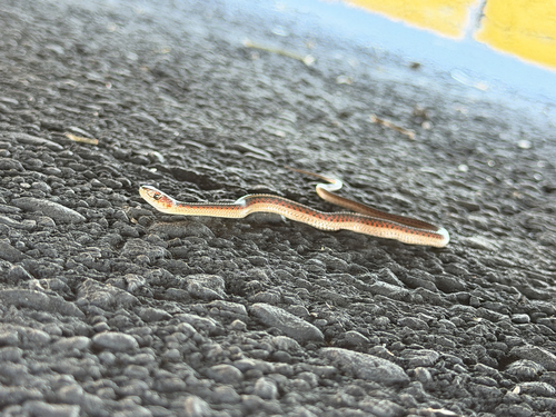
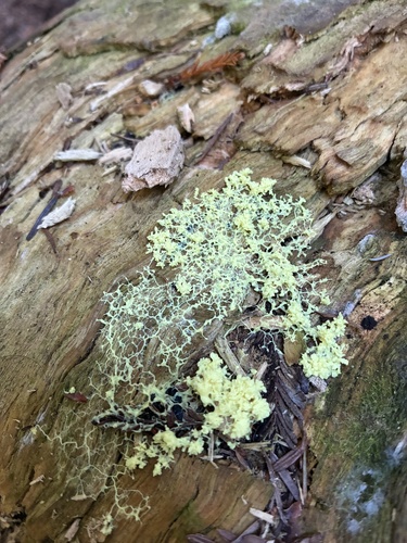
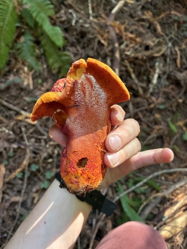
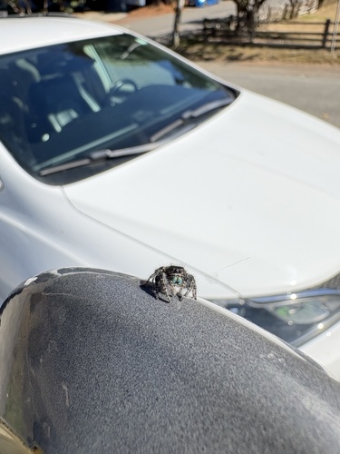
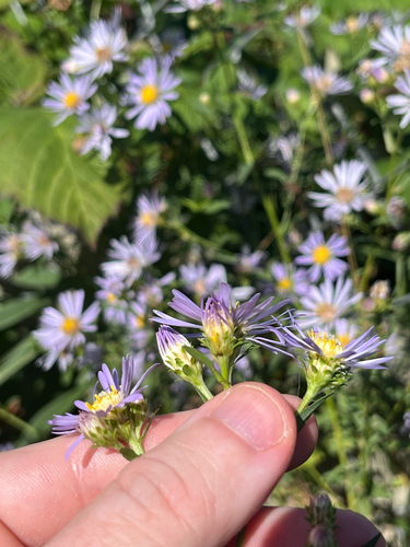
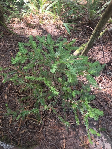
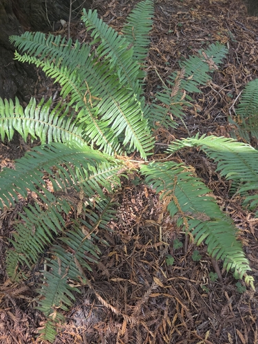
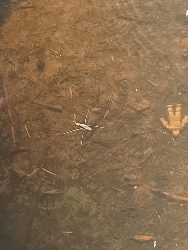
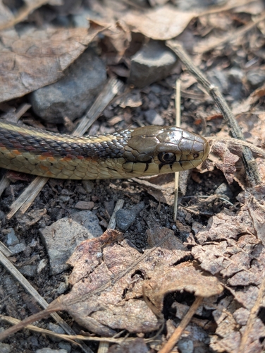
Research-grade observations from iNaturalist (within ~15 mi).
Nearest stream gauge
Live readings from USGS NWIS · measured 2026-10-01 16:30 UTC.
Events
Gallery
Sources
- • Wikipedia
- • US Census Bureau (ACS 5-year estimates)
- • NOAA National Weather Service
- • Wikidata
- • USGS Earthquake Catalog (global feed)
- • USGS NWIS (water data)
- • NCES via Urban Institute Education Data Portal
- • GBIF (Global Biodiversity Information Facility)
- • iNaturalist
- • CDC PLACES
- • Open-Elevation
- • Open-Meteo / sunrise-sunset.org
- • Wikipedia Pageviews API
- • NASA EONET