Browse / United States / California / Fillmore
Fillmore
Californiacity

Fillmore
Total population
16,816
Median home value
$602,500
Bachelor's+
Median income
$92,931
Founded
1914
Demographic figures from US Census Bureau · ACS 5-year estimates. Overview below cites Wikipedia and may reference a different year.
- Extreme Heat Warning · SevereExtreme Heat Warning issued October 1 at 12:17PM PDT until October 8 at 8:00PM PDT by NWS Los Angeles/Oxnard CA
Source: NOAA National Weather Service.
City facts
Facts from Wikidata (CC0).
Overview
Fillmore is a small city in Ventura County, California, United States, in the Santa Clara River Valley. In an agricultural area with rich, fertile soil, Fillmore has a historic downtown that was established when the Southern Pacific built the railroad through the valley in 1887. The rail line also provided a name for the town: J. A. Fillmore was a general superintendent for the company's Pacific system. The population was 16,419 at the 2020 census, up 9.4% from 15,002 during the 2010 census.
Read more on WikipediaHistory & geography
History
In 1769, the Spanish Portola expedition, first Europeans to see inland areas of California, came down the valley from the previous night's encampment near today's Rancho Camulos and camped in the vicinity of Fillmore on August 11. Fray Juan Crespi, a Franciscan missionary travelling with the expedition, had previously named the valley Cañada de Santa Clara. He noted that the party travelled about 9–10 miles and camped near a large native village. Founded in 1887 upon the arrival of the Southern Pacific Rail line, the city voted to incorporate in 1914, after a vigorous campaign by local business owners and the Fillmore Herald. In 1985, the city council voted to make English the city's official language. The resolution was repealed in 1999. At about 4:30am the morning of January 17, 1994, Fillmore sustained significant damage from the Northridge earthquake. It was the worst-hit community in Ventura County. No one in the community died or was injured, but over 200 buildings were damaged, including about one-fifth of the historical downtown that had been the center of numerous Hollywood films and TV shows. The quake caused an estimated $50 million in property damage and losses. Ultimately, 60 buildings needed to be torn down, and Fillmore rebuilt most of its downtown area.
Geography
Fillmore sits at the foot of Topatopa Mountains in the Santa Clara River Valley, below San Cayetano peak in the Los Padres National Forest. The Sespe Condor Sanctuary, where the critically endangered California condor is recovering, lies in the Topatopa range to the north. The town is famous for its many orange groves. Most houses are cottages, bungalows and old homes. Over half of all homes were constructed after 1970. The oldest buildings are found in downtown, which is centered around Central Avenue. Particularly the western part of the city has newer residential communities. Most businesses are located on Ventura Street (Highway 126). The nearby Sespe Creek is a tributary of the Santa Clara River. Fillmore is within a historic Ventura County agricultural and tree-farming belt. According to the United States Census Bureau, the city has a total area of , all land. This region experiences hot and dry summers. Temperatures can easily reach above 100 degrees. According to the Köppen Climate Classification system, Fillmore has a warm-summer Mediterranean climate, abbreviated "Csb" on climate maps.
Excerpted from the corresponding Wikipedia article (CC BY-SA).
Demographics & economy
Race & ethnicity
Source: US Census Bureau — American Community Survey, 5-year estimates.
Geography
Coordinates & boundaries from the US Census TIGER/Line shapefiles.
Climate
Current forecast
Forecast for Fillmore, CA from NOAA NWS API.
Air quality
Industrial & pollution facilities
Natural hazard risk
Health (adults)
Age-adjusted prevalence estimates from CDC PLACES (latest release).
Walkability
Amenities nearby
Wildlife & biodiversity
Most-observed species
- House FinchHaemorhous mexicanus (P.L.Statius Müller, 1776) · Aves5,650
- Black PhoebeSayornis nigricans (Swainson, 1827) · Aves4,674
- American CrowCorvus brachyrhynchos C.L.Brehm, 1822 · Aves4,467
- Lesser GoldfinchSpinus psaltria (Say, 1822) · Aves4,221
- Common RavenCorvus corax Linnaeus, 1758 · Aves4,116
- California TowheeMelozone crissalis (Vigors, 1839) · Aves3,765
- Anna's HummingbirdCalypte anna (R.Lesson, 1829) · Aves3,740
- Mourning DoveZenaida macroura (Linnaeus, 1758) · Aves3,634
Citizen-science & research observations from the Global Biodiversity Information Facility (GBIF).
Schools
Earthquake history
Most recent
- M 2.56 — 2026-09-1327 km SSE of Malibu, CA
- M 2.65 — 2026-09-124 km E of Lennox, CA
- M 2.62 — 2026-09-125 km WNW of Willowbrook, CA
- M 3.07 — 2026-09-064 km SSE of Compton, CA
- M 2.69 — 2026-08-1835 km NNW of Santa Barbara Is., CA
- M 2.63 — 2026-08-129 km SW of Valencia, CA
Events from the USGS Earthquake Catalog (global) (FDSN Event Web Service).
Photos
Sights & places nearby
Notable people from here


People born within ~10 km, from Wikidata (CC0). Click any name for their Wikipedia article.
Nearby places in California
Geography & sun
Elevation, sunrise/sunset and daylight from Open-Meteo. Solar climatology from NASA POWER.
Nearby airports
Public attention
Pageview totals from the Wikimedia Pageviews API.
Books about Fillmore
Search results from Open Library.
Recent natural events nearby
- Wildfire RIDGE, Los Angeles, CaliforniaWildfires · 2026-08-07 · 28 mi
- Wildfire BUZZARD, Kern, CaliforniaWildfires · 2026-08-05 · 35 mi
- Wildfire PLAINS, San Luis Obispo, CaliforniaWildfires · 2026-08-12 · 93 mi
- Prescribed Fire CRAWFORD CORRAL RX, Tulare, CaliforniaWildfires · 2026-09-19 · 152 mi
- Wildfire Plaskett, Monterey, CaliforniaWildfires · 2026-08-26 · 175 mi
- Wildfire Timber, Monterey, CaliforniaWildfires · 2026-08-09 · 202 mi
- Wildfire DOME, Mariposa, CaliforniaWildfires · 2026-09-15 · 222 mi
Wildfires, storms and other events from NASA EONET (last 12 months, within 250 mi).
Ground air-quality sensors
Recently spotted species
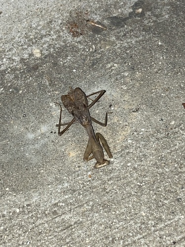
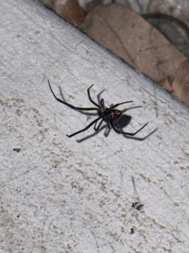
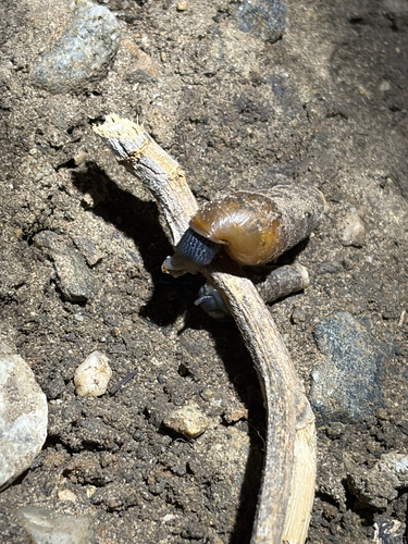
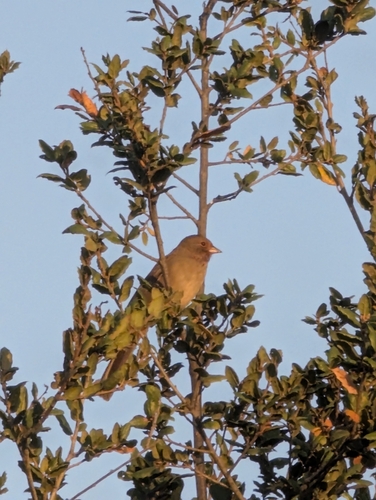
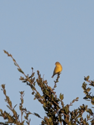
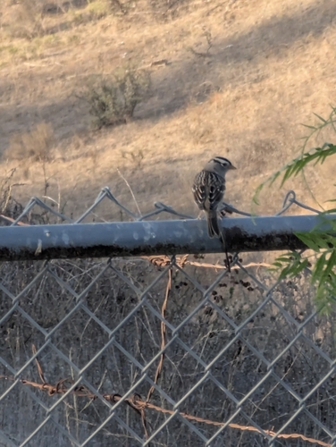
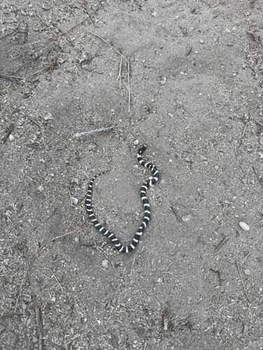
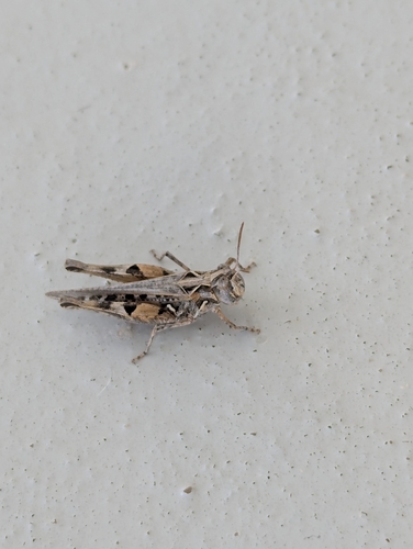
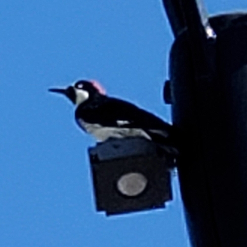
Research-grade observations from iNaturalist (within ~15 mi).
Nearest stream gauge
Events
Gallery
Sources
- • Wikipedia
- • US Census Bureau (ACS 5-year estimates)
- • NOAA National Weather Service
- • Wikidata
- • USGS Earthquake Catalog (global feed)
- • GBIF (Global Biodiversity Information Facility)
- • iNaturalist
- • CDC PLACES
- • Open-Meteo / sunrise-sunset.org
- • Wikipedia Pageviews API
- • Open Library
- • NASA EONET