Browse / United States / California / Castaic
Castaic
CaliforniaCDP
Total population
17,999
Median home value
$792,000
Bachelor's+
Median income
$129,863
Demographic figures from US Census Bureau · ACS 5-year estimates. Overview below cites Wikipedia and may reference a different year.
- Extreme Heat Warning · SevereExtreme Heat Warning issued October 1 at 12:17PM PDT until October 8 at 8:00PM PDT by NWS Los Angeles/Oxnard CA
Source: NOAA National Weather Service.
City facts
Facts from Wikidata (CC0).
Overview
Castaic is an unincorporated community and census-designated place (CDP) in northwestern Los Angeles County, California, United States. As of the 2020 census it had a population of 18,937.
Read more on WikipediaHistory & geography
History
The Córdova family of California were the first settlers in the area. Modern Castaic began in 1887 when Southern Pacific set up a railroad siding on the line between Piru and Saugus Station, naming it "Castaic Junction". Between January and April 1890, the Castec School District adopted the new spelling, "Castaic". Between 1890 and 1916, the Castaic Range War was fought in Castaic country over ranch boundaries and grazing rights. It was the biggest range war in U.S. history. A feud started over Section 23, where the Stonegate subdivision is now. William Chormicle had legally bought the property, but William "Wirt" Jenkins was already storing grain on it and said he had filed for ownership. During a heated dispute, Chormicle and a friend shot and killed two of Jenkins's cowhands. They were acquitted in court. Jenkins, however, was the local justice of the peace, with friends of his own, and the feud quickly grew into war. Former Los Angeles Rangers (among whom Jenkins had fought) and other notables were drawn in. The war claimed dozens of lives and foiled a negotiator, a forest ranger whom President Theodore Roosevelt had sent in to quell it.
Geography
The area is seismically active. On January 3, 2015, a pair of earthquakes of magnitude 3.1 (location: , depth: ) and 4.2 (location: , depth: ), respectively, were reported about north of Castaic. The epicenter was from Santa Clarita, California. This region experiences hot and dry summers, and cool, moderately rainy winters. During the months of June though September, the average high temperature ranges from the 90s F (30s C) to above . According to the Köppen Climate Classification system, Castaic has a hot-summer Mediterranean climate, abbreviated "Csa" on climate maps.
Excerpted from the corresponding Wikipedia article (CC BY-SA).
Demographics & economy
Race & ethnicity
Source: US Census Bureau — American Community Survey, 5-year estimates.
Geography
Coordinates & boundaries from the US Census TIGER/Line shapefiles.
Climate
Current forecast
Forecast for Castaic, CA from NOAA NWS API.
Air quality
Industrial & pollution facilities
Natural hazard risk
Health (adults)
Age-adjusted prevalence estimates from CDC PLACES (latest release).
Walkability
Amenities nearby
Wildlife & biodiversity
Schools
Largest nearby schools
- Saugus HighHigh · Saugus · 2,378 students · 25:1 ratio
- Valencia HighHigh · Valencia · 2,275 students · 22.8:1 ratio
- William S. Hart HighHigh · Newhall · 2,034 students · 22.6:1 ratio
- Canyon HighHigh · Canyon Country · 1,946 students · 23.2:1 ratio
- Arroyo Seco Junior HighMiddle · Valencia · 1,217 students · 24.8:1 ratio
- West Creek AcademyElementary · Valencia · 1,024 students · 28.4:1 ratio
- La Mesa Junior HighMiddle · Santa Clarita · 1,014 students · 18.8:1 ratio
- Mountainview ElementaryElementary · Saugus · 934 students · 25.9:1 ratio
Public K–12 schools within ~10 mi from Urban Institute Education Data Portal (NCES Common Core of Data, 2022).
Earthquake history
Photos
Sights & places nearby
Notable people from here
People born within ~10 km, from Wikidata (CC0). Click any name for their Wikipedia article.
Nearby places in California
- Hasley Canyon2 mi away
- Bell Canyon18.9 mi away
- Leona Valley20.9 mi away · pop. 1,465
- Oak Park21.6 mi away
- Hidden Hills21.7 mi away
- Casa Conejo26.9 mi away
- La Crescenta-Montrose28.2 mi away
- Lebec29.5 mi away
- Frazier Park29.6 mi away
- La Cañada Flintridge30.8 mi away · pop. 20,573
- Lake of the Woods31.8 mi away · pop. 796
- Malibu32 mi away · pop. 10,421
Geography & sun
Elevation, sunrise/sunset and daylight from Open-Meteo. Solar climatology from NASA POWER.
Nearby airports
Public attention
Pageview totals from the Wikimedia Pageviews API.
Books about Castaic


Search results from Open Library.
Recent natural events nearby
- Wildfire RIDGE, Los Angeles, CaliforniaWildfires · 2026-08-07 · 24 mi
- Wildfire BUZZARD, Kern, CaliforniaWildfires · 2026-08-05 · 34 mi
- Wildfire PLAINS, San Luis Obispo, CaliforniaWildfires · 2026-08-12 · 101 mi
- Prescribed Fire CRAWFORD CORRAL RX, Tulare, CaliforniaWildfires · 2026-09-19 · 148 mi
- Wildfire Plaskett, Monterey, CaliforniaWildfires · 2026-08-26 · 185 mi
- Wildfire Timber, Monterey, CaliforniaWildfires · 2026-08-09 · 211 mi
- Wildfire DOME, Mariposa, CaliforniaWildfires · 2026-09-15 · 220 mi
Wildfires, storms and other events from NASA EONET (last 12 months, within 250 mi).
Ground air-quality sensors
Recently spotted species
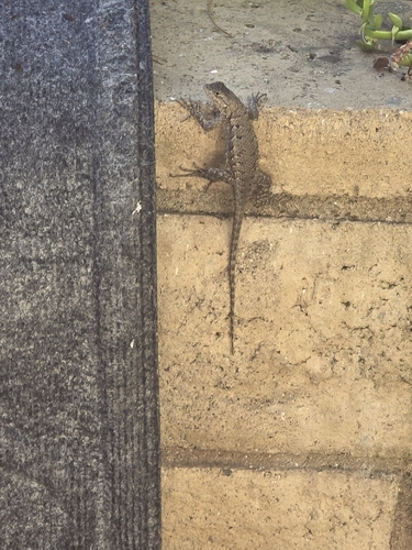
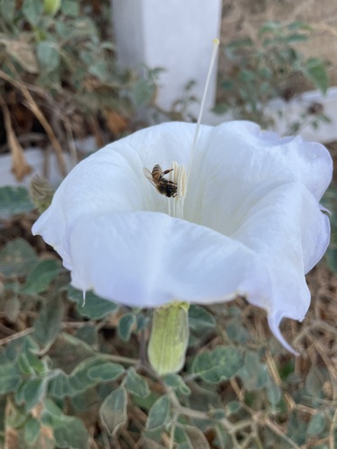
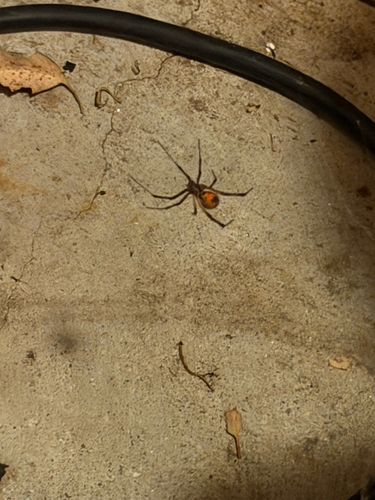
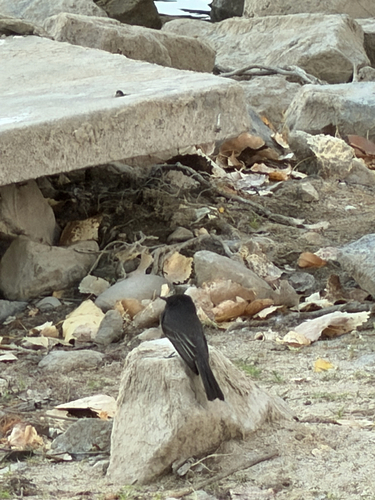
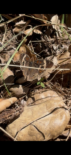
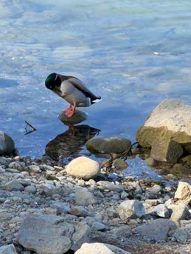
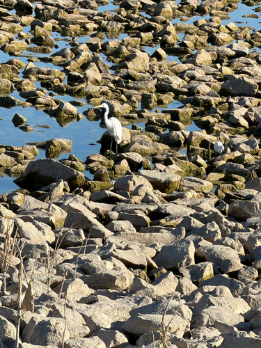
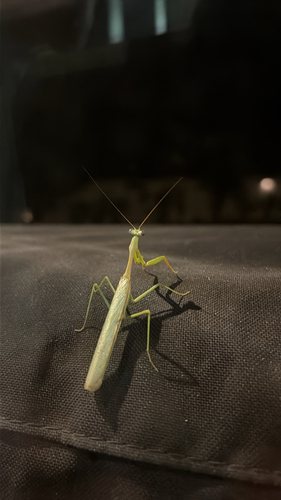
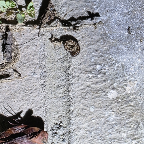
Research-grade observations from iNaturalist (within ~15 mi).
Nearest stream gauge
Events
Gallery
Sources
- • Wikipedia
- • US Census Bureau (ACS 5-year estimates)
- • NOAA National Weather Service
- • Wikidata
- • NCES via Urban Institute Education Data Portal
- • iNaturalist
- • CDC PLACES
- • Open-Meteo / sunrise-sunset.org
- • Wikipedia Pageviews API
- • Open Library
- • NASA EONET