Browse / United States / California / Leona Valley
Leona Valley
CaliforniaCDP

Leona Valley
Total population
1,465
Median home value
$711,300
Bachelor's+
Median income
$131,667
Demographic figures from US Census Bureau · ACS 5-year estimates. Overview below cites Wikipedia and may reference a different year.
City facts
Facts from Wikidata (CC0).
Overview
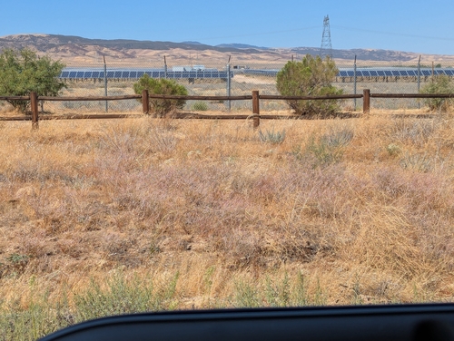
Leona Valley is a census-designated place located in the geographic Leona Valley of northern Los Angeles County, California, in the transition between the Sierra Pelona Mountains and Mojave Desert, just west of Palmdale and the Antelope Valley. The population was 1,555 at the 2020 census.
Read more on WikipediaHistory & geography
History
Leona Valley's post colonial history can be best described as land abundant with cattle ranches. In the late 18th century, after the loss of the Tataviam Native Americans – the area's original inhabitants – to Indian Reductions as Mission Indians at the Mission San Fernando immigrants from Spain and Mexico quickly established themselves. The majority of the immigrants were primarily interested in the land in order to establish cattle ranches. During the 1830s, the ranches were broken up into smaller homesteads by farmers from Germany, France and the state of Nebraska. The Ritter family started one of the first wineries in this country in Leona Valley which was later shut down by the U.S. Prohibition period in the early 20th century. In 1901 Frank D Hall bought the 3000 acre St. Anthony Ranch. The valley was then known as Leonis and he changed the name of the ranch to Leona Valley Ranch and set about building a dairy farm. The Ranch was most of the land west of Bouquet Canyon Rd. The dairy did not work out and the subdivision of the Leona Valley Ranch started in 1918. That first phase of the subdivision was for properties that had roads and water (either had water or was in an area known to be practical for drilling a well). One of the early sales was the southwest corner of Elizabeth Lake Rd and 90th St West. The Nolenberger's built a store and gas station on that lot which opened in 1924. The building is now Hemme Hay and Feed store. In 1927 Frank Hall incorporated Farm Home Builders to handle the next phase that required new roads and a water system. To that end Farm Home Builders took out a loan for $45,000. The Great Depression hit before many sold and it wasn't until the 1940s that most were sold. The majority of those old large homestead parcels have…
Geography
Leona Valley is located about west of the Palmdale Civic Center in Southern California. Leona Valley town is located in its namesake, Leona Valley. This valley is a long narrow valley separated from the Antelope Valley by the San Andreas Fault ridge, known as Ritter Ridge, so named after one of the settlers from Nebraska in the 1880s. The valley is about a mile wide and in length. The geographic Leona Valley is also home to the towns of Lake Hughes and Lake Elizabeth. The ZIP Code is 93551 and the community is inside area code 661.
Excerpted from the corresponding Wikipedia article (CC BY-SA).
Demographics & economy
Race & ethnicity
Source: US Census Bureau — American Community Survey, 5-year estimates.
Geography
Coordinates & boundaries from the US Census TIGER/Line shapefiles.
Climate
Current forecast
Forecast for Leona Valley, CA from NOAA NWS API.
Air quality
Industrial & pollution facilities
Natural hazard risk
Health (adults)
Age-adjusted prevalence estimates from CDC PLACES (latest release).
Walkability
Amenities nearby
Wildlife & biodiversity
Most-observed species
- Common RavenCorvus corax Linnaeus, 1758 · Aves6,529
- House FinchHaemorhous mexicanus (P.L.Statius Müller, 1776) · Aves5,122
- Mourning DoveZenaida macroura (Linnaeus, 1758) · Aves3,757
- House SparrowPasser domesticus (Linnaeus, 1758) · Aves3,585
- Eurasian Collared-DoveStreptopelia decaocto (Frivaldszky, 1838) · Aves3,219
- White-crowned SparrowZonotrichia leucophrys (J.R.Forster, 1772) · Aves3,027
- Black PhoebeSayornis nigricans (Swainson, 1827) · Aves2,902
- Northern MockingbirdMimus polyglottos (Linnaeus, 1758) · Aves2,393
Citizen-science & research observations from the Global Biodiversity Information Facility (GBIF).
Schools
Largest nearby schools
- iLEAD HybridOther · Acton · 3,575 students · 20.8:1 ratio
- Quartz Hill HighHigh · Quartz Hill · 3,066 students · 26.9:1 ratio
- Highland HighHigh · Palmdale · 2,790 students · 25.6:1 ratio
- Lancaster HighHigh · Lancaster · 2,642 students · 24.5:1 ratio
- David G. Millen Law and Government Magnet AcademyMiddle · Palmdale · 1,023 students · 23.8:1 ratio
- Amargosa Creek MiddleMiddle · Lancaster · 973 students · 20.7:1 ratio
- Esperanza ElementaryElementary · Palmdale · 950 students · 26.4:1 ratio
- Hillview MiddleMiddle · Palmdale · 907 students · 22.7:1 ratio
Public K–12 schools within ~10 mi from Urban Institute Education Data Portal (NCES Common Core of Data, 2022).
Earthquake history
Most recent
- M 3.16 — 2026-10-092 km SW of Signal Hill, CA
- M 2.7 — 2026-10-082 km WNW of Fontana, CA
- M 3.81008714964485 — 2026-09-304 km SE of Piru, CA
- M 3.55404092525043 — 2026-09-277 km WSW of Hermosa Beach, CA
- M 2.62 — 2026-09-2417 km WSW of Johannesburg, CA
- M 2.96 — 2026-09-2317 km WSW of Johannesburg, CA
Events from the USGS Earthquake Catalog (global) (FDSN Event Web Service).
Photos
Sights & places nearby
Notable people from here

People born within ~10 km, from Wikidata (CC0). Click any name for their Wikipedia article.
Nearby places in California
- Littlerock19.1 mi away
- Castaic20.9 mi away
- Hasley Canyon22.6 mi away
- La Crescenta-Montrose26.2 mi away
- Lake Los Angeles26.8 mi away
- La Cañada Flintridge28.1 mi away · pop. 20,573
- East Pasadena35 mi away
- Bell Canyon35.3 mi away
- Bradbury36.7 mi away
- Duarte36.8 mi away · pop. 22,184
- Hidden Hills36.9 mi away
- Lebec37.7 mi away
Geography & sun
Elevation, sunrise/sunset and daylight from Open-Meteo. Solar climatology from NASA POWER.
Nearby airports
Public attention
Pageview totals from the Wikimedia Pageviews API.
Books about Leona Valley

Search results from Open Library.
Recent natural events nearby
- Wildfire BOUQUET, Los Angeles, CaliforniaWildfires · 2026-10-03 · 7 mi
- Wildfire RIDGE, Los Angeles, CaliforniaWildfires · 2026-08-07 · 33 mi
- Wildfire BUZZARD, Kern, CaliforniaWildfires · 2026-08-05 · 41 mi
- Wildfire CYRUS, Kern, CaliforniaWildfires · 2026-10-09 · 76 mi
- Wildfire PLAINS, San Luis Obispo, CaliforniaWildfires · 2026-08-12 · 111 mi
- Prescribed Fire CRAWFORD CORRAL RX, Tulare, CaliforniaWildfires · 2026-09-19 · 143 mi
- Wildfire Plaskett, Monterey, CaliforniaWildfires · 2026-08-26 · 197 mi
- Wildfire DOME, Mariposa, CaliforniaWildfires · 2026-09-15 · 217 mi
Wildfires, storms and other events from NASA EONET (last 12 months, within 250 mi).
Ground air-quality sensors
Recently spotted species
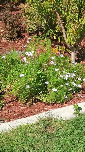
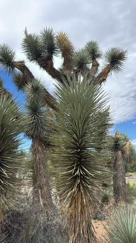
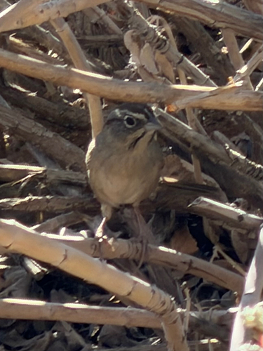
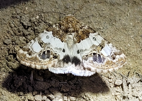
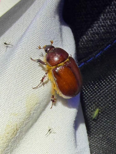
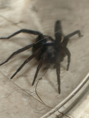
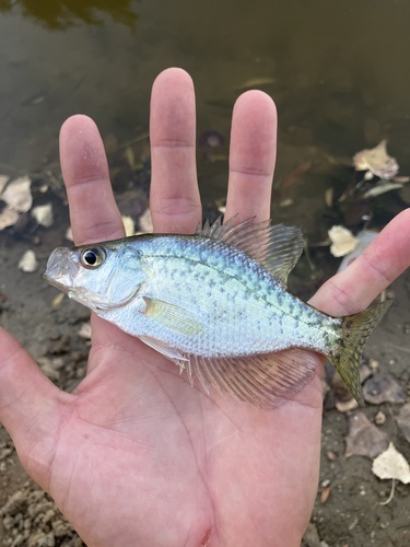
Research-grade observations from iNaturalist (within ~15 mi).
Nearest stream gauge
Events
Gallery
Sources
- • Wikipedia
- • US Census Bureau (ACS 5-year estimates)
- • NOAA National Weather Service
- • Wikidata
- • USGS Earthquake Catalog (global feed)
- • NCES via Urban Institute Education Data Portal
- • GBIF (Global Biodiversity Information Facility)
- • iNaturalist
- • CDC PLACES
- • Open-Meteo / sunrise-sunset.org
- • Wikipedia Pageviews API
- • Open Library
- • NASA EONET