Browse / Canada / Alberta / Fort Vermilion
Fort Vermilion
Albertavillage

Fort Vermilion
Total population
727
Founded
1788
Demographic figures from Statistics Canada. Overview below cites Wikipedia and may reference a different year.
City facts
Facts from Wikidata (CC0).
Overview
Fort Vermilion is a hamlet on the Peace River in northern Alberta, Canada, within Mackenzie County.
Read more on WikipediaHistory & geography
History
{{stack| The fort was established in 1788, following the expeditions of Alexander MacKenzie. Winter residents would trade furs with the native trappers, then send the furs by river during the summer to exchange points to the east and then to Montreal. The fort was later transferred to the Hudson's Bay Company after the 1821 merger. By 1830, it was a prosperous fur trading post. The first Anglican church was built in 1877. The main access to the settlements was by means of the river, using river boats and then ferries to haul materials in the summer months, when the water was not frozen. In 1903 the first steam-powered vessel to serve Fort Vermilion was the St. Charles built to navigate the to the upper reaches of the Peace River, from Hudson's Hope to Fort Vermilion. The visitor centre is hosted in a 1923 dovetailed log house. Built on the banks of the Peace River, it was moved to its current location in 1983. Another heritage building is the 1907 Clark House, built for the Hudson's Bay clerk quarters, and moved in 1994 to the present location near the visitor centre. The Trappers Shack, built in 1912, is another dovetailed log house. It was listed as a provincial historic site. In 2018, the airport was named after Canadian Wop May, former bush pilot and WW1 flying ace. It was to Fort Vermilion that May flew to in 1929 with lifesaving drugs.
Geography
Fort Vermilion is located approximately southeast of High Level and northwest of Edmonton on the Highway 88 (Bicentennial Highway). The hamlet of La Crete is located approximately southwest of Fort Vermilion on Highway 697. The hamlet is one of the northernmost communities in the Peace River Country. Peace Country, in the aspen parkland biome, is Canada's northernmost land suitable for agriculture. The landscape is dominated by aspen, poplars and spruce, occasionally interspersed with areas of grasslands. Wildlife is abundant in the area, and includes bears, moose, deer, beavers, foxes, coyotes and Canada geese and Sandhill cranes and brief but fairly warm summers. Temperatures during the winter can drop to to . Summer days benefit from long hours of daylight due to its northern location. }}
Excerpted from the corresponding Wikipedia article (CC BY-SA).
Geography
Coordinates & boundaries from the US Census TIGER/Line shapefiles.
Climate
Air quality
Walkability
Amenities nearby
Wildlife & biodiversity
Most-observed species
- Black-billed MagpiePica hudsonia (Sabine, 1823) · Aves5
- American CrowCorvus brachyrhynchos C.L.Brehm, 1822 · Aves4
- Hermit ThrushCatharus guttatus (Pallas, 1811) · Aves3
- Pacific serviceberryAmelanchier alnifolia (Nutt.) Nutt. · Magnoliopsida3
- American RobinTurdus migratorius Linnaeus, 1766 · Aves3
- Sandhill craneGrus canadensis (Linnaeus, 1758) · Aves2
- Common RavenCorvus corax Linnaeus, 1758 · Aves2
- Red-eyed VireoVireo olivaceus (Linnaeus, 1766) · Aves2
Citizen-science & research observations from the Global Biodiversity Information Facility (GBIF).
Earthquake history
Events from the USGS Earthquake Catalog (global) (FDSN Event Web Service).
Photos
Sights & places nearby
Notable people from here

People born within ~10 km, from Wikidata (CC0). Click any name for their Wikipedia article.
Nearby places in Alberta
- North Tallcree26.7 mi away · pop. 225
- John D'Or Prairie32.2 mi away · pop. 1,326
- Garden River80.3 mi away · pop. 706
- Gardiner Camp142.1 mi away
- Lac Cardinal161.3 mi away
- Marie Reine167 mi away
- Hines Creek Hutterite Colony173.3 mi away
- Normandville181.5 mi away
- Chipewyan Camp - 201C185.2 mi away
- Wabasca-Desmarais186.1 mi away
- Fitzgerald186.5 mi away · pop. 9
- Cleardale Hutterite Colony188.2 mi away
Geography & sun
Elevation, sunrise/sunset and daylight from Open-Meteo. Solar climatology from NASA POWER.
Nearby airports
Public attention
Pageview totals from the Wikimedia Pageviews API.
Books about Fort Vermilion




Search results from Open Library.
Recent natural events nearby
Ground air-quality sensors
Recently spotted species
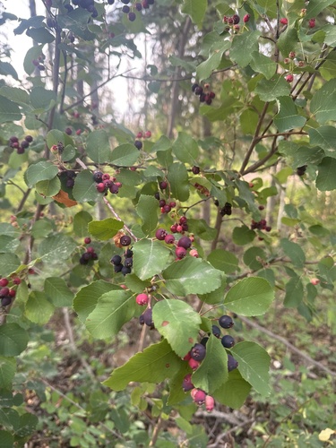
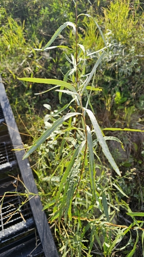
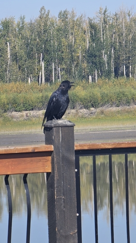
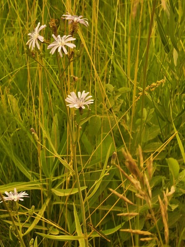
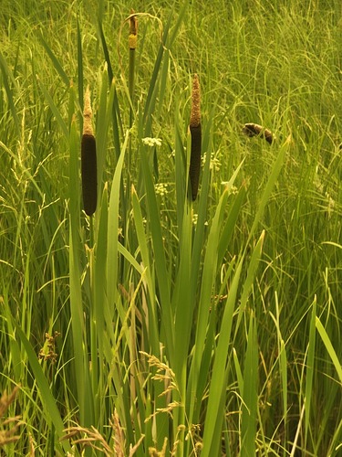
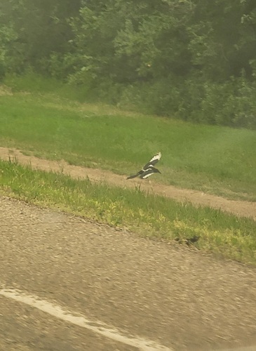
Research-grade observations from iNaturalist (within ~15 mi).
Events
Gallery
Sources
- • Wikipedia
- • Wikidata
- • USGS Earthquake Catalog (global feed)
- • GBIF (Global Biodiversity Information Facility)
- • iNaturalist
- • Open-Meteo / sunrise-sunset.org
- • Wikipedia Pageviews API
- • Open Library