Browse / Canada / Alberta / John D'Or Prairie
John D'Or Prairie
Albertahamlet
Total population
1,326
Air quality index
Demographic figures from Statistics Canada. Overview below cites Wikipedia and may reference a different year.
City facts
Facts from Wikidata (CC0).
Overview
John D'Or Prairie is a First Nations settlement within the John D'Or Prairie 215 Indian reserve in northern Alberta, Canada. It is located on the Lawrence River, upstream from the Peace River, and south of the Caribou Mountains. It has an elevation of 290 metres (950 ft).
Read more on WikipediaHistory & geography
Geography
Coordinates & boundaries from the US Census TIGER/Line shapefiles.
Climate
Air quality
Current readings from Open-Meteo Air Quality API (Copernicus CAMS European reanalysis).
Walkability
Amenities nearby
Wildlife & biodiversity
Most-observed species
- black bearUrsus americanus Pallas, 1780 · Mammalia2
- Common RavenCorvus corax Linnaeus, 1758 · Aves2
- Cedar WaxwingBombycilla cedrorum Vieillot, 1808 · Aves2
- Boreal ChickadeePoecile hudsonicus (J.R.Forster, 1772) · Aves2
- Black-capped ChickadeePoecile atricapillus (Linnaeus, 1766) · Aves2
- Winter WrenTroglodytes hiemalis Vieillot, 1819 · Aves2
- American KestrelFalco sparverius Linnaeus, 1758 · Aves2
- Two-striped GrasshopperMelanoplus bivittatus (Say, 1825) · Insecta1
Citizen-science & research observations from the Global Biodiversity Information Facility (GBIF).
Earthquake history
Events from the USGS Earthquake Catalog (global) (FDSN Event Web Service).
Photos
Sights & places nearby
Notable people from here
Nearby places in Alberta
- Fort Chipewyan144.7 mi away · pop. 852
- Chipewyan Camp - 201C153.6 mi away
- Fitzgerald157 mi away · pop. 9
- Wabasca-Desmarais181.3 mi away
- Clearwater Camp198.8 mi away
- Hines Creek Hutterite Colony199 mi away
- Normandville199.7 mi away
- Marten Beach Subdivision206.6 mi away
- Birch Meadows Hutterite Colony210.5 mi away
- Eaglesham213.6 mi away
- Assineau215.6 mi away
- Cleardale Hutterite Colony215.8 mi away
Geography & sun
Elevation, sunrise/sunset and daylight from Open-Meteo. Solar climatology from NASA POWER.
Nearby airports
Public attention
Pageview totals from the Wikimedia Pageviews API.
Books about John D'Or Prairie


Search results from Open Library.
Recent natural events nearby
Ground air-quality sensors
Recently spotted species
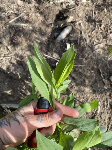
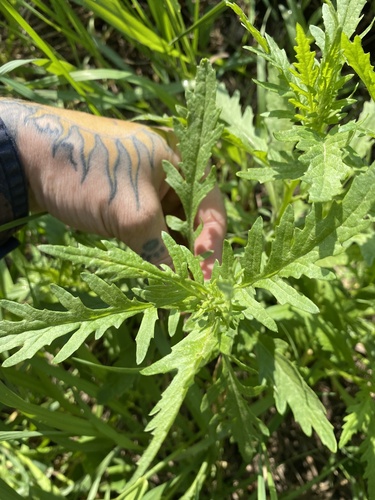
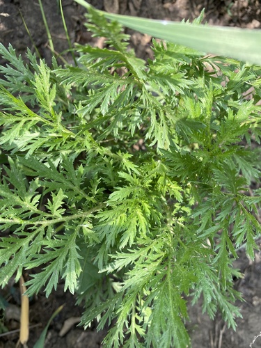
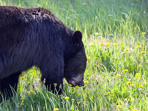
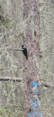
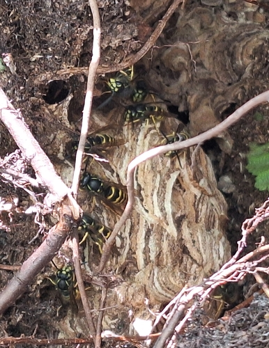
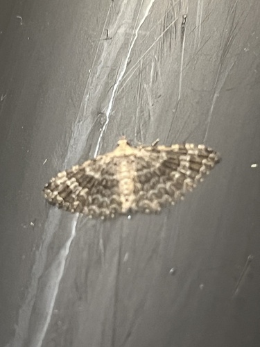
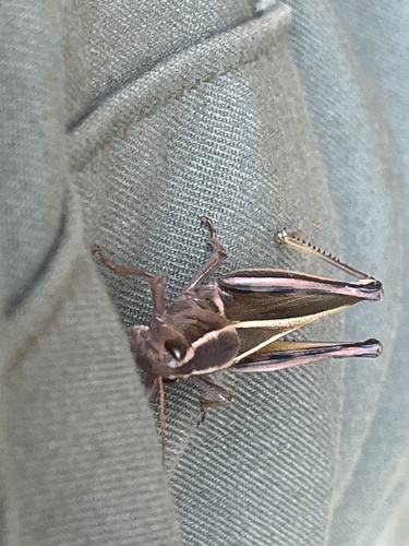
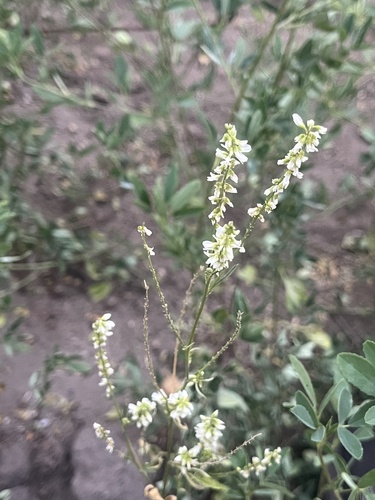
Research-grade observations from iNaturalist (within ~15 mi).
Events
Gallery
Sources
- • Wikipedia
- • Wikidata
- • Open-Meteo Air Quality (CAMS)
- • USGS Earthquake Catalog (global feed)
- • GBIF (Global Biodiversity Information Facility)
- • iNaturalist
- • Open-Meteo / sunrise-sunset.org
- • Wikipedia Pageviews API
- • Open Library