Browse / Canada / New Brunswick / Gagetown
Gagetown
New Brunswickvillage

Gagetown
Total population
787
Demographic figures from Statistics Canada. Overview below cites Wikipedia and may reference a different year.
City facts
Overview
Gagetown is a former village in Queens County, New Brunswick, Canada. It held village status prior to 2023 and is now part of the village of Arcadia. It is on the west bank of the Saint John River and is the county's shire town.
Read more on WikipediaHistory & geography
History
Gagetown was originally named Grimross by the Acadians and Maliseet, who lived there prior to the Expulsion of the Acadians. The Raid on Grimross occurred during the St. John River Campaign (1758–59). During the Expulsion of the Acadians, many Acadians fled from various parts of the Maritimes to villages along the Saint John River. The St. John River Campaign occurred during the French and Indian War when Colonel Robert Monckton led a force of 1,150 British soldiers to destroy the Acadian settlements on the banks of the Saint John River until they reached the largest village of Ste Anne's Point (present day Fredericton, New Brunswick) in February 1759. There were 2000 Acadians on the Saint John River, many of whom were refugees trying to escape the Expulsion of the Acadians. On November 4, 1758, Robert Monckton entered the nearly vacant village and New England Rangers under his command chased down and scalped Acadians. They burned 50 buildings, crops and killed the animals. The name of the village is derived from British General Thomas Gage. Major General Thomas Gage was granted a large tract of land in central New Brunswick in appreciation of his service to the British Empire in the Seven Years' War; this land comprises modern day Gagetown. During the 1800s and early 1900s, Gagetown was a historic Loyalist community that served as a stop for river boats. It is the birthplace of Sir Samuel Leonard Tilley, a Father of Confederation. The nearby army training centre, CFB Gagetown, takes its name from the community, although its headquarters are in Oromocto. Despite sharing the name, Gagetown has no direct access to the base and its training area. Every Summer since 2009 a local music & art collective known as FEELS GOOD and the North Hampton Brewing Company (which…
Excerpted from the corresponding Wikipedia article (CC BY-SA).
Geography
Coordinates & boundaries from the US Census TIGER/Line shapefiles.
Climate
Air quality
Walkability
Amenities nearby
Wildlife & biodiversity
Earthquake history
Photos
Sights & places nearby
Notable people from here


People born within ~10 km, from Wikidata (CC0). Click any name for their Wikipedia article.
Nearby places in New Brunswick
Geography & sun
Elevation, sunrise/sunset and daylight from Open-Meteo. Solar climatology from NASA POWER.
Nearby airports
Public attention
Pageview totals from the Wikimedia Pageviews API.
Books about Gagetown


Search results from Open Library.
Recent natural events nearby
Ground air-quality sensors
Recently spotted species
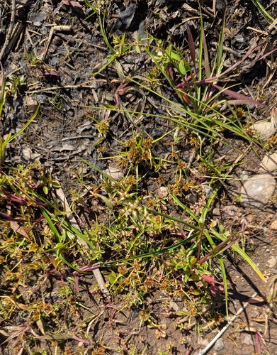
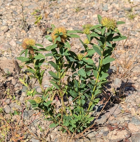
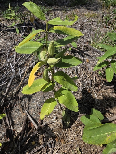
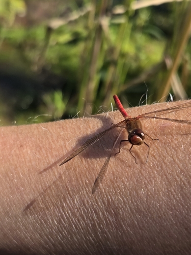
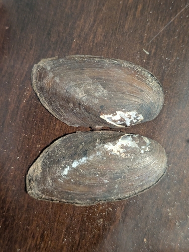
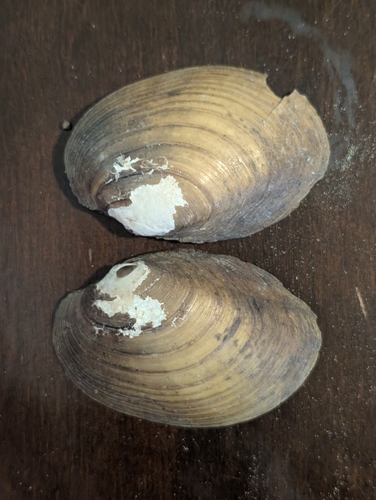
Research-grade observations from iNaturalist (within ~15 mi).
Events
Gallery
Official Identifiers
StatCan — Statistics Canada
- SGC code
- 1304005
- Wikidata
- Q588931
Standard Geographical Classification (SGC) via Wikidata P3012
Sources
- • Wikipedia
- • Wikidata
- • iNaturalist
- • Open-Meteo / sunrise-sunset.org
- • Wikipedia Pageviews API
- • Open Library
- • StatCan — Statistics Canada — Standard Geographical Classification (SGC) via Wikidata P3012