Browse / Canada / Ontario / Geraldton
Geraldton
Ontariotown

Geraldton
Demographic figures from Statistics Canada. Overview below cites Wikipedia and may reference a different year.
City facts
Facts from Wikidata (CC0).
Overview
Greenstone is a single-tier municipality in the Canadian province of Ontario with a population of 4,309 according to the 2021 Canadian census. It stretches along Highway 11 from Lake Nipigon to Longlac and covers 2,767.19 km2 (1,068.42 sq mi).
Read more on WikipediaHistory & geography
History
T. L. Taunton, of the Geological Survey of Canada, noted gold in quartz fragments around Little Long Lac in 1917. Similarly, Tony Oklend found ore in a boulder during World War I. However, it wouldn't be until 1931 that Bill "Hard Rock" Smith and Stan Watson would stake 18 claims along 3 veins. Tom Johnson and Robert Wells filed claims based on gold appearing in Magnet Lake quartz outcrop and the presence of bismuthinite. The Bankfield Gold Mine developed from these claims. In 1932, Johnson and Oklend staked 12 claims at Little Long Lac. Fred MacLeod and Arthur Cockshutt filed 15 claims near Smith's. Nakina was established in 1923 as a station and railway yard on the National Transcontinental Railway, between the divisional points of Grant and Armstrong. Nakina was at Mile 15.9 of the NTR's Grant Sub-Division. Following the completion in 1924 of the Longlac-Nakina Cut-Off by the Canadian National Railway, connecting the rails of the Canadian Northern Railway at Longlac and the NTR, Nakina became the new divisional point, and the buildings from the town of Grant ( to the east) were moved to the new Nakina town site. In the 1930s the Beardmore Relics, Viking Age artifacts were found near Beardmore, which were proposed to be evidence of Vikings in Ontario. Later, the relics were proven to have been a hoax. Through a series of witnesses as well as the son of the person who had found them, the relics were found to have been planted in Beardmore and not, as was suggested, found there. By 1934, a gold rush absorbed the area from Long Lac to Nipigon, a belt long and wide. The village of Hard Rock was established in 1934, and Longlac, Bankfield, and Geraldton soon followed. Though a 1936 fire threatened the mines, development was able to continue. on the edge of the…
Geography
Greenstone includes the communities of: * Beardmore * Caramat * Geraldton * Jellicoe * Longlac * Macdiarmid * Nakina * Orient Bay The municipal administrative offices are located in Geraldton. Nakina and Caramat are entirely exclaved from the rest of the municipality's territory. File:Geraldton ON.JPG|Geraldton File:Beardmore ON.JPG|Beardmore File:Longlac ON 2.JPG|Longlac File:Nakina ON.JPG|Nakina Greenstone experiences a humid continental climate (Köppen climate classification Dfb), with cold winters and warm summers. The highest temperature ever recorded in the area was on 11 and 12 July 1936 at Longlac. The coldest temperature ever recorded was on 31 January 1996 (at Geraldton Airport). |date=August 2010 }}
Excerpted from the corresponding Wikipedia article (CC BY-SA).
Geography
Coordinates & boundaries from the US Census TIGER/Line shapefiles.
Climate
Air quality
Walkability
Amenities nearby
Wildlife & biodiversity
Earthquake history
Photos
Sights & places nearby
Notable people from here
Nearby places in Ontario
Geography & sun
Elevation, sunrise/sunset and daylight from Open-Meteo. Solar climatology from NASA POWER.
Nearby airports
Public attention
Pageview totals from the Wikimedia Pageviews API.
Books about Geraldton

Search results from Open Library.
Recent natural events nearby
Ground air-quality sensors
Recently spotted species

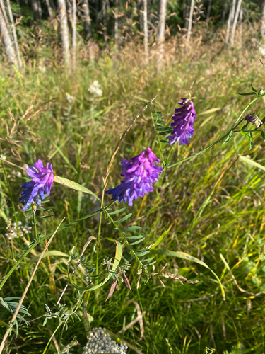
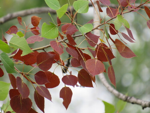
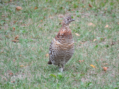
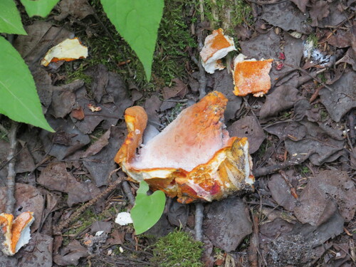
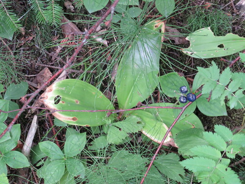
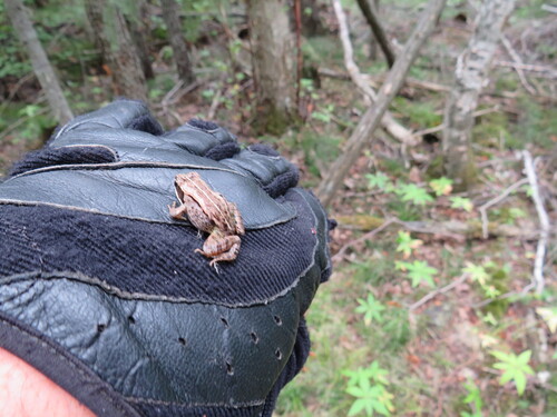
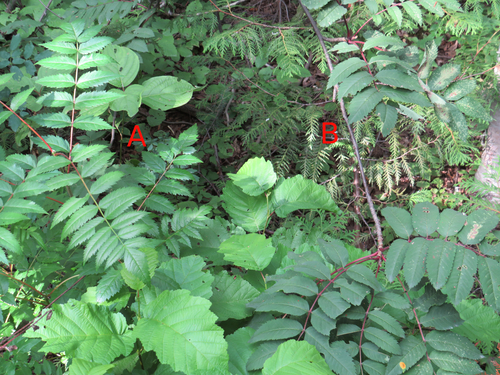
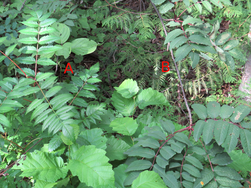
Research-grade observations from iNaturalist (within ~15 mi).
Events
Gallery
Sources
- • Wikipedia
- • Wikidata
- • iNaturalist
- • Open-Meteo / sunrise-sunset.org
- • Wikipedia Pageviews API
- • Open Library