Browse / Canada / Saskatchewan / Goodwater
Goodwater
Saskatchewanvillage

Goodwater
Total population
40
Demographic figures from Statistics Canada. Overview below cites Wikipedia and may reference a different year.
City facts
Facts from Wikidata (CC0).
Overview
Goodwater is a village in the Canadian province of Saskatchewan within the Rural Municipality of Lomond No. 37 and Census Division No. 2. The village is located approximately 50 kilometres (31 mi) south of the city of Weyburn.
Read more on WikipediaHistory & geography
History
Goodwater incorporated as a village on May 8, 1911. Goodwater's first village council was held on August 7, 1911. In 2011, Goodwater celebrated its 100-year anniversary from July 22–24 with a three-day event that included singing, two pancake breakfasts, an antique machinery show, and a performance by the BAD Boys. According to several sources, Goodwater was once called "Juell", prior to the arrival of the Canadian Northern Railway Company, 1909–1911. Families named Juell were among the first homesteaders in the area 1902, immigrating from Norway by way of the United States. The creek south of town is known as Juell Creek. Citing research undertaken using the database of Canadian federal ridings since 1867, the genealogical website project Saskatchewan GenWeb states: "There were a few homesteaders living near here under the name "Juell": George L Juell, NE 16-5-13-W2; John Juell, Jr., NE 20-5-1-W2; Chris Ceverian Juell, NW 20-5-1-W2; Sigurd John K Juell, SE 20-5-1-W2; and, John Peter Ludwig Juell, SW 20-5-13-W2." The Saskatchewan GenWeb project highlights a [https://sites.rootsweb.com/~canmaps/mines1914/ 1914 reproduction of a Canada Department of Mines map of Alberta, Saskatchewan, and Manitoba], which clearly shows a town "Juell" in the same general area as current-day Goodwater. The Albert and Edith Lyons entry by "family members" in the 1980 community history, Prairie Gold, recounts the family's 1904 relocation from Boissevain, Manitoba: "The Lyons family sought greener pastures and migrated further west to Jewelltown, North West Territories, later known as Goodwater, Sask." Like many Saskatchewan place names, the straightforward explanation of Goodwater's current-day name originates with Canadian Northern Railway surveyors. According to a…
Geography
Located along the Souris River, the Goodwater community is located less than 10 km from Mainprize Regional Park and its Rafferty Dam Reservoir. Goodwater is situated along the route taken by George Arthur French, Commissioner of the North-West Mounted Police, during their ill-fated March West in 1874. After 22 days of travel from Fort Dufferin (present day Emerson, Manitoba), Major General French split his force of 300 mounted police on January 29, 1874, sending part of the force north to Fort Ellice, while carrying on westward himself and camping on January 30, 1874, at Long Creek (near present-day Estevan, Saskatchewan). Travelling at roughly 15 miles per day, along the Souris River through damp terrain heavy with mosquitoes and black flies, French's force passed the Goodwater area in the first days of August before reaching Moose Jaw on August 8, 1874.
Excerpted from the corresponding Wikipedia article (CC BY-SA).
Geography
Coordinates & boundaries from the US Census TIGER/Line shapefiles.
Climate
Air quality
Walkability
Amenities nearby
Wildlife & biodiversity
Earthquake history
Photos
Sights & places nearby
Notable people from here
Nearby places in Saskatchewan
- Sturgeon Lake294.7 mi away
- Big River323.3 mi away
- Four Corners391.6 mi away
- Turowice4740.2 mi away · pop. 360
- Rudzisko4740.6 mi away · pop. 55
- Petrykozy4740.7 mi away
- Bulianów4741.2 mi away · pop. 71
- Giełzów4741.3 mi away · pop. 400
- Dąbrowa4741.4 mi away
- Kamienna Wola4741.5 mi away · pop. 330
- Pląskowice4741.7 mi away · pop. 110
- Bernów4742 mi away · pop. 160
Geography & sun
Elevation, sunrise/sunset and daylight from Open-Meteo. Solar climatology from NASA POWER.
Nearby airports
Public attention
Pageview totals from the Wikimedia Pageviews API.
Books about this place
Recent natural events nearby
- Wildfire Ayers Pond, Prairie, MontanaWildfires · 2026-09-03 · 197 mi
- Incident Complex Rattlesnake Complex, Prairie, MontanaWildfires · 2026-09-04 · 202 mi
- Wildfire Snow, Custer, MontanaWildfires · 2026-09-02 · 212 mi
- Wildfire Alice, Harding, South DakotaWildfires · 2026-07-26 · 245 mi
Wildfires, storms and other events from NASA EONET (last 12 months, within 250 mi).
Ground air-quality sensors
Recently spotted species
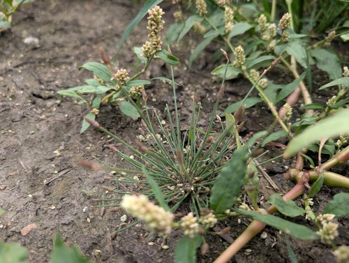
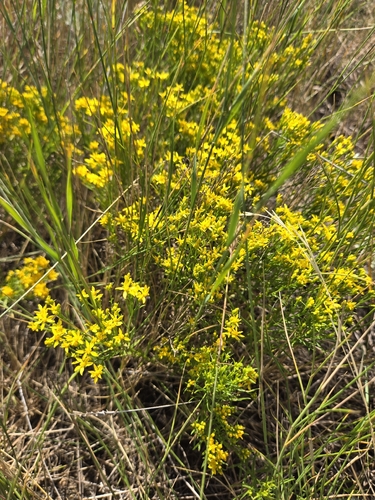
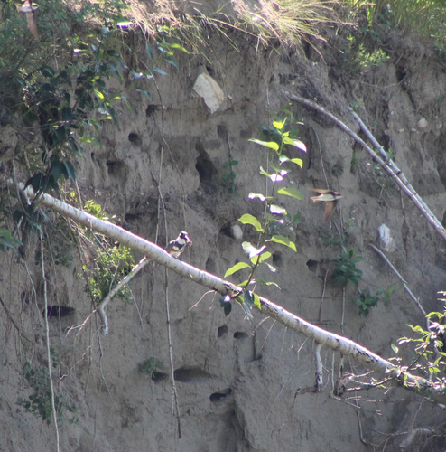
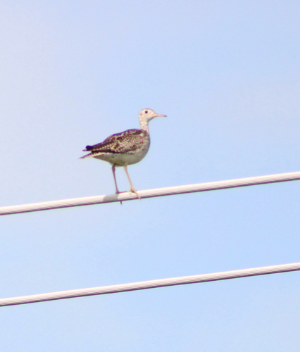
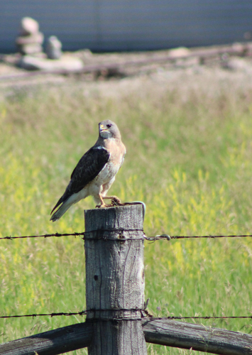
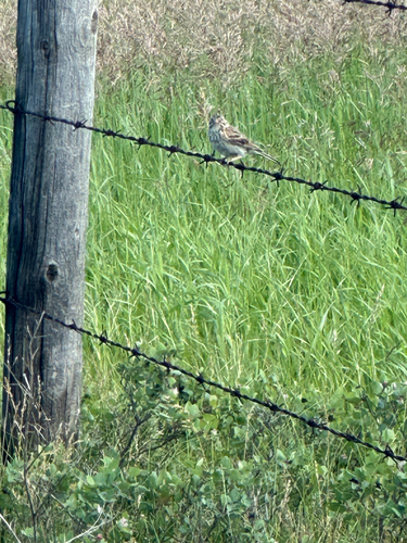
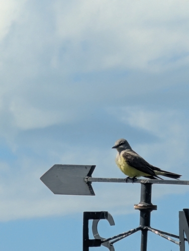
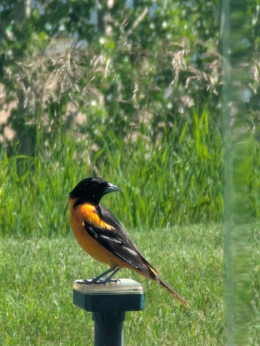
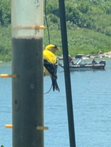
Research-grade observations from iNaturalist (within ~15 mi).
Events
Gallery
Official Identifiers
StatCan — Statistics Canada
- SGC code
- 4702036
- Wikidata
- Q2003699
Standard Geographical Classification (SGC) via Wikidata P3012
Sources
- • Wikipedia
- • Wikidata
- • iNaturalist
- • Open-Meteo / sunrise-sunset.org
- • Wikipedia Pageviews API
- • NASA EONET
- • StatCan — Statistics Canada — Standard Geographical Classification (SGC) via Wikidata P3012