Browse / Canada / Newfoundland and Labrador / Grand Falls-Windsor
Grand Falls-Windsor
Newfoundland and Labradortown

Grand Falls-Windsor
Total population
14,171
Demographic figures from Statistics Canada. Overview below cites Wikipedia and may reference a different year.
City facts
Facts from Wikidata (CC0).
Overview
Grand Falls-Windsor is a town located in the central region of the island of Newfoundland in the province of Newfoundland and Labrador, Canada, with a population of 13,853 at the 2021 census. The town is the largest in the central region, the sixth largest in the province, and is home to the annual Exploits Valley Salmon Festival. Grand Falls-Windsor was incorporated in 1991, when the two former towns of Grand Falls and Windsor amalgamated.
Read more on WikipediaHistory & geography
History
In 1768, Lieutenant John Cartwright, while following the Exploits River through the Exploits Valley, named the waterfall he found "Grand Falls". The land remained undeveloped until 1905, except for the Newfoundland Railway, which ran about north of Grand Falls. The railway offered development potential. In 1905, the town of Grand Falls was established as a company town using Garden City principles expounded by Ebenezer Howard. Worried about the impending war in Europe, Alfred Harmsworth (Baron Northcliffe) began looking for an alternative source of newsprint for his family's newspaper and publishing business. During their search for a suitable location to build and operate a pulp and paper mill, Harold Harmsworth and Mayson Beeton, son of Isabella Beeton, the author of Mrs Beeton's Book of Household Management, discovered Grand Falls. The site had great potential due to access to lumber, the possibility of hydroelectricity and a deep-water port available in nearby Botwood. On January 7, 1905, the Harmsworths and Robert Gillespie Reid, owner of the Newfoundland Railway, formed the Anglo-Newfoundland Development Company, and the mill was constructed and opened on October 9, 1909. The first roll of salable newsprint was produced on December 22, 1909. Workers came from throughout the colony and the world to help develop the new area. At that time, only employees of the mill and workers from private businesses were permitted to live in Grand Falls. Other people settled north of the railway in a shack town known as Grand Falls Station, which became Windsor, named for the Canadian Royal Family. The Anglo Newfoundland Development Company, owners of the town, catered to the social and athletic needs of the people living there. The Grand Falls Athletic Club was formed in…
Geography
The town is located centrally on the island of Newfoundland. It is approximately an hour west of Gander, two and a half hours west of Clarenville and about four hours west of St. John's. On the other hand, the town is slightly over two hours east of Deer Lake, two hours and forty-five minutes east of Corner Brook and close to five hours east of Port Aux Basques, when traveling on the Newfoundland and Labrador Route 1, part of the Trans-Canada Highway. The town itself consists of the former towns of Grand Falls and Windsor. The Newfoundland and Labrador Route 1 runs through the middle of town, with exits for Main Street, Station Road, Cromer Avenue, Union Street, Grenfell Heights and New Bay Road. Main thoroughfares in the town include Lincoln Road, Cromer Avenue, Main Street, High Street, and Scott Avenue, though this list is not exhaustive. Grand Falls-Windsor has a humid continental climate (Koppen: Dfb), its classification being similar to the remainder of Newfoundland. Due to its farther inland position than most localities the influence of the Atlantic Ocean and its moderation is less prevalent, rendering its summers the warmest on the island. Winter lows are also more extreme than in St. John's and Corner Brook, although swings are very moderate when compared to areas on similar latitudes in continental Canada.
Excerpted from the corresponding Wikipedia article (CC BY-SA).
Geography
Coordinates & boundaries from the US Census TIGER/Line shapefiles.
Climate
Air quality
Walkability
Amenities nearby
Wildlife & biodiversity
Earthquake history
Photos
Sights & places nearby
Notable people from here
Nearby places in Newfoundland and Labrador
- Bishops Falls8.4 mi away · pop. 3,341
- Badger17.9 mi away · pop. 704
- Botwood19.6 mi away
- Northern Arm19.7 mi away
- Norris Arm20 mi away
- Alderburn21.8 mi away
- Point Leamington28.3 mi away
- Point of Bay28.5 mi away
- Brown's Arm29.4 mi away
- Millertown Junction31.4 mi away
- Paradise Cove32.6 mi away
- Lewisporte34 mi away
Geography & sun
Elevation, sunrise/sunset and daylight from Open-Meteo. Solar climatology from NASA POWER.
Nearby airports
Public attention
Pageview totals from the Wikimedia Pageviews API.
Books about Grand Falls-Windsor
Search results from Open Library.
Recent natural events nearby
Ground air-quality sensors
Recently spotted species
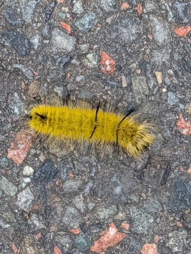
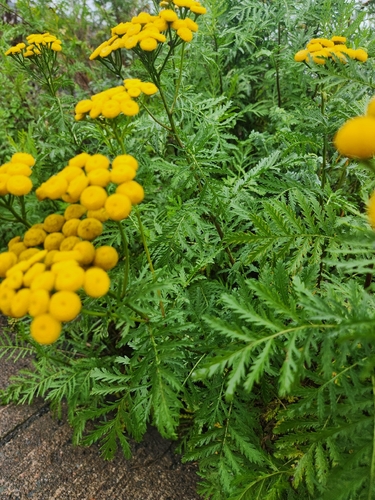
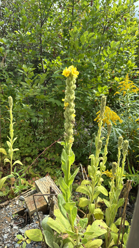
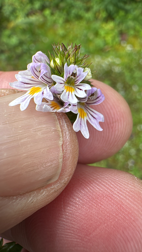
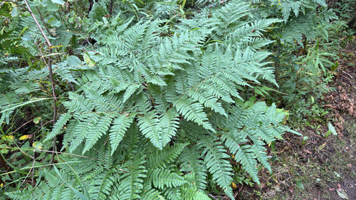
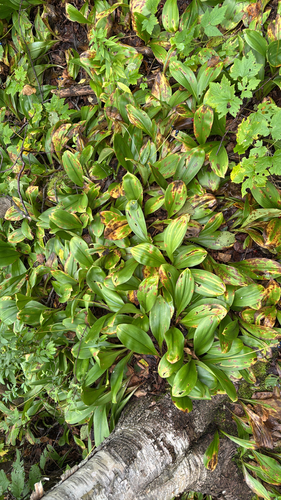
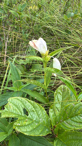
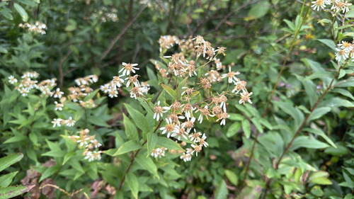
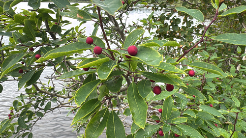
Research-grade observations from iNaturalist (within ~15 mi).
Events
Gallery
Official Identifiers
StatCan — Statistics Canada
- SGC code
- 1006017
- Population (Wikidata)
- 14,171
- Wikidata
- Q1542592
Standard Geographical Classification (SGC) via Wikidata P3012
Sources
- • Wikipedia
- • Wikidata
- • iNaturalist
- • Open-Meteo / sunrise-sunset.org
- • Wikipedia Pageviews API
- • Open Library
- • StatCan — Statistics Canada — Standard Geographical Classification (SGC) via Wikidata P3012