Browse / Canada / Manitoba / ᐅᑳᐏᒥᖨᐦᑳᓈᓂ Granville Lake
ᐅᑳᐏᒥᖨᐦᑳᓈᓂ Granville Lake
Manitobatown
No image yet
Total population
98
Land area2.33 km²
Coordinates56.23°, -100.57°
Demographic figures from Statistics Canada. Overview below cites Wikipedia and may reference a different year.
Loading additional data from public sources…0 / 11
CensusWikipediaWeatherPlacesPeopleEnvironmentHealth & SchoolsRelatedGeography & CultureLive MonitoringEvents & Gallery
0% completeCity facts
Area
2.33 km²
Facts from Wikidata (CC0).
Overview
Granville Lake is an Indian settlement located on a peninsula on the south shore of Granville Lake in northern Manitoba. The community is primarily a settlement of the Mathias Colomb First Nation, who now live in nearby Leaf Rapids.
Read more on WikipediaHistory & geography
Geography
Latitude
56.2317
Longitude
-100.5737
Water area
—
Coordinates & boundaries from the US Census TIGER/Line shapefiles.
Climate
Air quality
Walkability
Amenities nearby
Wildlife & biodiversity
Earthquake history
Photos
Sights & places nearby
Notable people from here
Nearby places in Manitoba
- Marcel Colomb First Nation40.5 mi away
- ᐸᑲᑕᐚᑲᐣ Pukatawagan43.9 mi away
- Lynn Lake46.5 mi away · pop. 673
- Nelson House71.7 mi away
- Sherridon79.6 mi away
- Flin Flon113.2 mi away · pop. 5,363
- Channing113.4 mi away
- Moak Lake116.9 mi away
- Cranberry Portage118 mi away · pop. 572
- Schist Lake118.1 mi away
- Wabowden118.3 mi away
- Brochet121.2 mi away
Geography & sun
Nearby airports
Public attention
Books about this place
Recent natural events nearby
Ground air-quality sensors
Recently spotted species
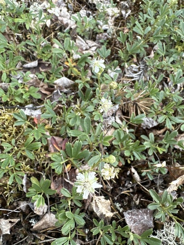
three-toothed cinquefoil
Sibbaldiopsis tridentata
Seen 2023-06-26
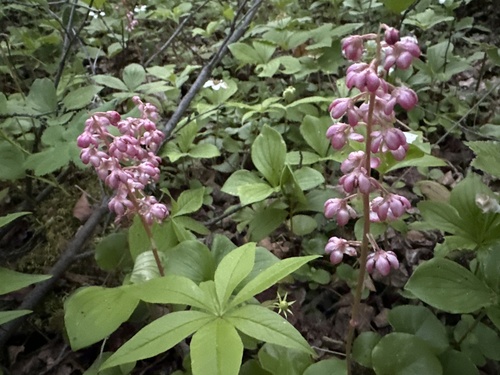
bog wintergreen
Pyrola asarifolia
Seen 2023-06-26
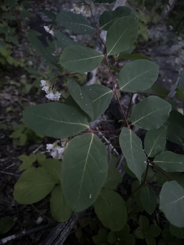
spreading dogbane
Apocynum androsaemifolium
Seen 2023-06-26
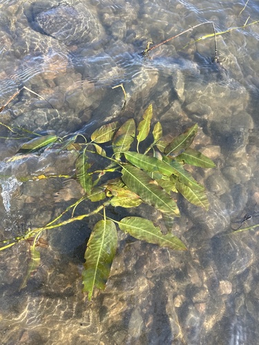
Flanged Smartweed
Persicaria amphibia stipulacea
Seen 2023-06-25
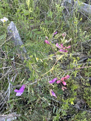
American vetch
Vicia americana
Seen 2023-06-25
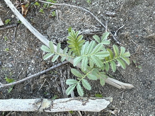
common silverweed
Argentina anserina
Seen 2023-06-25
Research-grade observations from iNaturalist (within ~15 mi).
Events
Gallery
Official Identifiers
StatCan — Statistics Canada
- SGC code
- 4623039
- Wikidata
- Q5596919
Standard Geographical Classification (SGC) via Wikidata P3012
Sources
- • Wikipedia
- • Wikidata
- • iNaturalist
- • StatCan — Statistics Canada — Standard Geographical Classification (SGC) via Wikidata P3012