Browse / Canada / Alberta / Grassland
Grassland
Albertavillage

Grassland
Demographic figures from Statistics Canada. Overview below cites Wikipedia and may reference a different year.
City facts
Overview
A grassland is an area where the vegetation is dominated by grasses. Sedges and rushes can also be found along with some legumes such as clover and other herbs. Grasslands occur naturally on all continents except Antarctica and are found in most ecoregions of the Earth. Furthermore, grasslands are one of the largest biomes on Earth, covering 31–69% of the Earth's land area. There are different types of grasslands: natural grasslands, semi-natural grasslands, and agricultural grasslands.
Read more on WikipediaHistory & geography
Geography
Coordinates & boundaries from the US Census TIGER/Line shapefiles.
Climate
Air quality
Walkability
Amenities nearby
Wildlife & biodiversity
Most-observed species
- Common RavenCorvus corax Linnaeus, 1758 · Aves181
- American CrowCorvus brachyrhynchos C.L.Brehm, 1822 · Aves159
- Canada Goose (canadensis Group)Branta canadensis (Linnaeus, 1758) · Aves150
- Red-winged BlackbirdAgelaius phoeniceus (Linnaeus, 1766) · Aves147
- MallardAnas platyrhynchos Linnaeus, 1758 · Aves113
- Song SparrowMelospiza melodia (A.Wilson, 1810) · Aves102
- American RobinTurdus migratorius Linnaeus, 1766 · Aves102
- Black-capped ChickadeePoecile atricapillus (Linnaeus, 1766) · Aves94
Citizen-science & research observations from the Global Biodiversity Information Facility (GBIF).
Earthquake history
Most recent
- M 3.9 — 2026-05-0915 km SSW of Smoky Lake, Canada
Events from the USGS Earthquake Catalog (global) (FDSN Event Web Service).
Photos
Sights & places nearby
Notable people from here
Nearby places in Alberta
- Sarrail4 mi away
- Dakin4.7 mi away
- Donatville6.9 mi away
- Boyle16.6 mi away
- Amesbury19.6 mi away
- New Pine Hutterite Colony21.3 mi away
- Deep Creek Hutterite Colony21.5 mi away
- Athabasca24.9 mi away · pop. 2,965
- Alpen Siding29.2 mi away
- Island Lake34.7 mi away · pop. 228
- Newbrook35.6 mi away · pop. 95
- Skywest Hutterite Colony42.1 mi away
Geography & sun
Elevation, sunrise/sunset and daylight from Open-Meteo. Solar climatology from NASA POWER.
Nearby airports
Public attention
Pageview totals from the Wikimedia Pageviews API.
Books about Grassland


Search results from Open Library.
Recent natural events nearby
Ground air-quality sensors
Recently spotted species
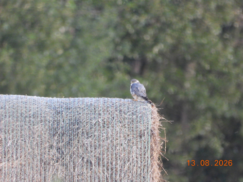
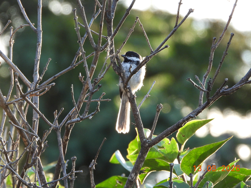
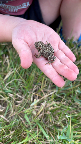
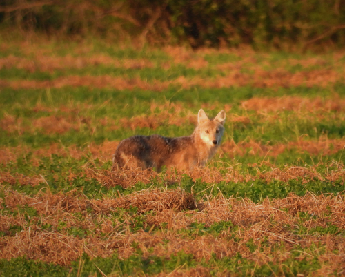
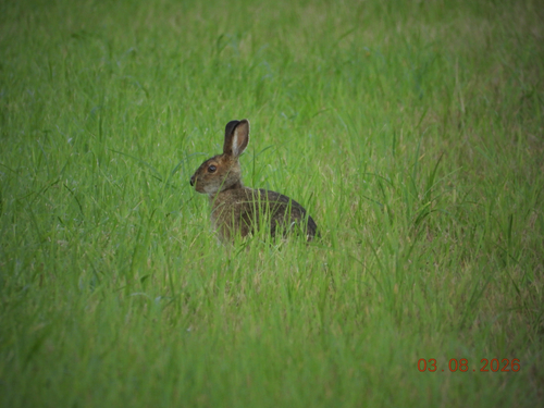
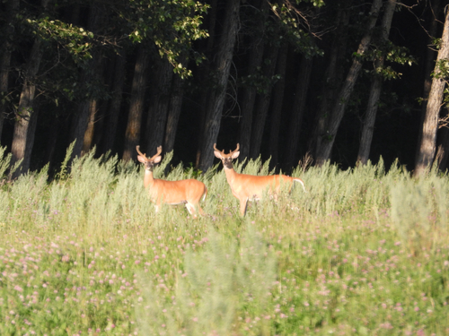
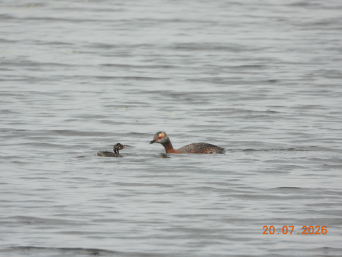
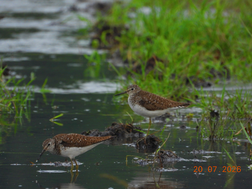
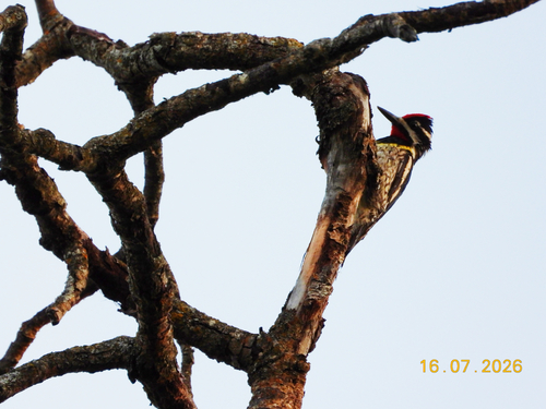
Research-grade observations from iNaturalist (within ~15 mi).
Events
Gallery
Official Identifiers
StatCan — Statistics Canada
- SGC code
- 4605062
- Wikidata
- Q18391400
Standard Geographical Classification (SGC) via Wikidata P3012
Sources
- • Wikipedia
- • Wikidata
- • USGS Earthquake Catalog (global feed)
- • GBIF (Global Biodiversity Information Facility)
- • iNaturalist
- • Open-Meteo / sunrise-sunset.org
- • Wikipedia Pageviews API
- • Open Library
- • StatCan — Statistics Canada — Standard Geographical Classification (SGC) via Wikidata P3012