Browse / Canada / Newfoundland and Labrador / Great Harbour Deep
Great Harbour Deep
Newfoundland and Labradorhamlet
Total population
0
Demographic figures from Statistics Canada. Overview below cites Wikipedia and may reference a different year.
City facts
Overview
Great Harbour Deep was an incorporated town in the province of Newfoundland and Labrador, Canada, situated on the east coast of the Great Northern Peninsula, in White Bay inlet. Harbour Deep, as it is customarily called, is a logging and fishing community that lies at the head of Pigeonnière Arm. It was once known as Orange Bay or Baie L'Orange.
Read more on WikipediaHistory & geography
Geography
Coordinates & boundaries from the US Census TIGER/Line shapefiles.
Climate
Air quality
Walkability
Amenities nearby
Wildlife & biodiversity
Earthquake history
Photos
Sights & places nearby
Notable people from here
Nearby places in Newfoundland and Labrador
- Little Harbour Deep8.5 mi away
- Seal Cove30.8 mi away · pop. 303
- Baie Verte33.1 mi away · pop. 1,313
- Bide Arm35.5 mi away · pop. 192
- Jackson Arm37.5 mi away · pop. 374
- Eddies Cove West38.7 mi away
- Barr’d Harbour39.1 mi away
- Sops Arm45.4 mi away
- Pollards Point46.5 mi away
- Brent's Cove46.7 mi away · pop. 181
- Grey Islands Harbour46.8 mi away
- Reefs Harbour49.4 mi away
Geography & sun
Elevation, sunrise/sunset and daylight from Open-Meteo. Solar climatology from NASA POWER.
Nearby airports
Public attention
Pageview totals from the Wikimedia Pageviews API.
Books about Great Harbour Deep
Search results from Open Library.
Recent natural events nearby
Ground air-quality sensors
Recently spotted species
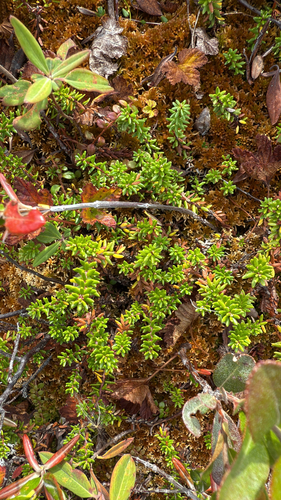
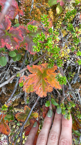
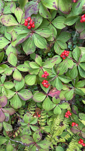
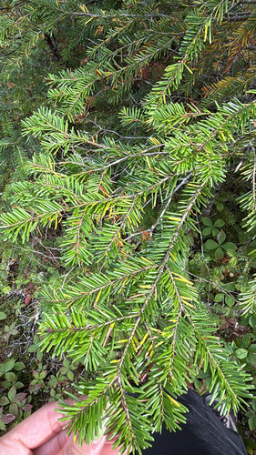
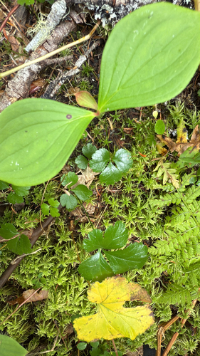
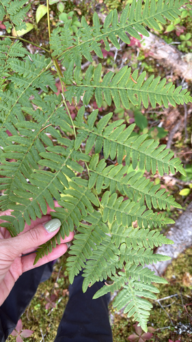
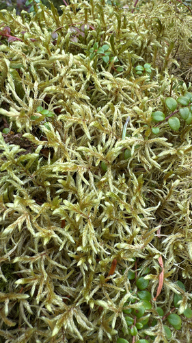
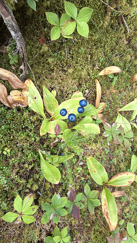
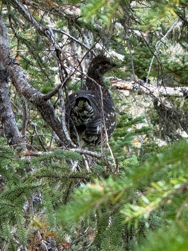
Research-grade observations from iNaturalist (within ~15 mi).
Events
Gallery
Sources
- • Wikipedia
- • Wikidata
- • iNaturalist
- • Open-Meteo / sunrise-sunset.org
- • Wikipedia Pageviews API
- • Open Library