Browse / Canada / Newfoundland and Labrador / Reefs Harbour
Reefs Harbour
Newfoundland and Labradorhamlet

Reefs Harbour
Founded
1913
Demographic figures from Statistics Canada. Overview below cites Wikipedia and may reference a different year.
City facts
Facts from Wikidata (CC0).
Overview
Reefs Harbour-Shoal Cove West-New Ferolle is a local service district and designated place in the Canadian province of Newfoundland and Labrador. It is southwest of Anchor Point.
Read more on WikipediaHistory & geography
Geography
Reefs Harbour-Shoal Cove West-New Ferolle is in Newfoundland within Subdivision C of Division No. 9. The area consists of three unincorporated communities – Reefs Harbour, Shoal Cove and New Ferolle – on the New Ferolle Peninsula near Port au Choix.
Excerpted from the corresponding Wikipedia article (CC BY-SA).
Geography
Coordinates & boundaries from the US Census TIGER/Line shapefiles.
Climate
Air quality
Walkability
Amenities nearby
Wildlife & biodiversity
Earthquake history
Photos
Sights & places nearby
Notable people from here
Nearby places in Newfoundland and Labrador
- Ferolle Point3.8 mi away
- Brig Bay4.8 mi away
- Brig Bay5.4 mi away
- Pond Cove10.3 mi away
- Pond Cove12.3 mi away
- Forresters Point14.6 mi away
- Pigeon Cove16.4 mi away
- Anchor Point18.1 mi away · pop. 314
- Eddies Cove West19.6 mi away
- Flower's Cove22.9 mi away · pop. 270
- Capstan Island40.2 mi away
- Bide Arm42 mi away · pop. 192
Geography & sun
Nearby airports
Public attention
Books about this place
Recent natural events nearby
Ground air-quality sensors
Recently spotted species
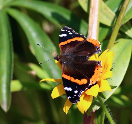
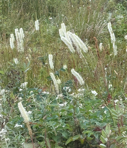
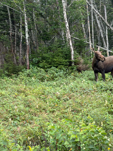
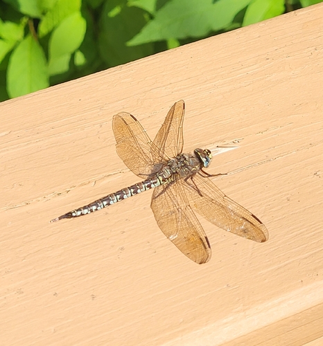
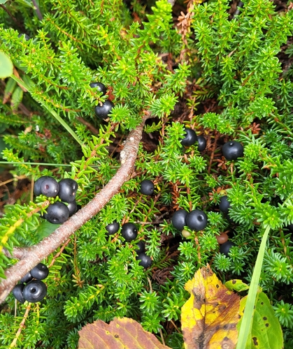
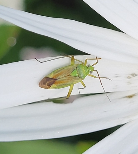
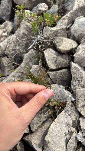
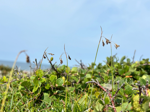
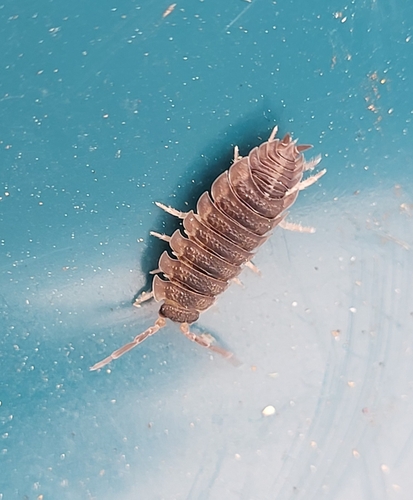
Research-grade observations from iNaturalist (within ~15 mi).
Events
Gallery
Sources
- • Wikipedia
- • Wikidata
- • iNaturalist