Browse / United States / California / Greenville
Greenville
CaliforniaCDP

Greenville
Total population
424
Median home value
$241,200
Bachelor's+
Median income
$0
Demographic figures from US Census Bureau · ACS 5-year estimates. Overview below cites Wikipedia and may reference a different year.
City facts
Facts from Wikidata (CC0).
Overview
Greenville is an unincorporated community in Plumas County, California, United States, on the north-west side of Indian Valley. Most of the buildings were destroyed by the Dixie Fire in August 2021. The population was 1,026 at the 2020 census, down from 1,129 at the 2010 census. For statistical purposes, the United States Census Bureau has defined Greenville as a census-designated place (CDP). According to the Census Bureau, the CDP has a total area of 8.0 square miles (21 km2), all of it land.
Read more on WikipediaHistory & geography
History
The Maidu people had been living in the valley area around present-day Greenville for centuries when English-speaking settlers arrived in the 1850s during the Gold Rush. Among the earliest structures built in the community was a boarding house operated by Mr. and Mrs. Green. The community was named for Green, who was killed in the collapse of the first Round Valley Dam. When Henry C. Bidwell arrived in 1862 and opened a trading post, several business owners moved down from Round Valley to Greenville. Since its establishment, the main industries of Greenville were mining and logging, however, by the mid 1900s, mining had declined and logging and ranching became the main industries in Greenville. In the late 1800s, the Maidu tribe were granted over 200 acres of land by the US government where a boarding school was built which burned down in the 1920s. The land was later converted into a Rancheria. Cheney Lumber Company built a wood mill near Greenville. A fire destroyed many buildings in 1881; they were quickly rebuilt. Greenville's population in 1882 was 500. the largest single (i.e. non-complex) wildfire in the state's history, and the second-largest overall (after the August Complex fire of 2020). Fire officials stated that the library, fire department, and most downtown homes were burned. The Los Angeles Times estimated that about $1 billion, through government aid, insurance payouts, lawsuits against Pacific Gas & Electric, corporate investment and philanthropic donations, has been promised, paid or will be forced to pay for the damage and rebuilding of Greenville. It is stated that nobody died in the fire. The single casualty from the incident was a firefighter who died from complications with COVID-19.
Geography
This region experiences hot and dry summers with temps as high as and cold sometimes wet winters, which can get as cold as . According to the Köppen Climate Classification system, Greenville has a warm-summer Mediterranean climate, abbreviated "Csb" on climate maps. Its winter temperatures approach that of a continental climate, and diurnal temperature variation is large, especially during summer.
Excerpted from the corresponding Wikipedia article (CC BY-SA).
Demographics & economy
Race & ethnicity
Source: US Census Bureau — American Community Survey, 5-year estimates.
Geography
Coordinates & boundaries from the US Census TIGER/Line shapefiles.
Climate
Current forecast
Forecast for Greenville, CA from NOAA NWS API.
Air quality
Industrial & pollution facilities
Natural hazard risk
Health (adults)
Age-adjusted prevalence estimates from CDC PLACES (latest release).
Walkability
Amenities nearby
Wildlife & biodiversity
Schools
Largest nearby schools
- Greenville ElementaryElementary · Greenville · 91 students · 18.2:1 ratio
- Greenville Junior/Senior HighHigh · Greenville · 32 students · 10.7:1 ratio
Public K–12 schools within ~10 mi from Urban Institute Education Data Portal (NCES Common Core of Data, 2022).
Earthquake history
Photos
Sights & places nearby
Notable people from here


People born within ~10 km, from Wikidata (CC0). Click any name for their Wikipedia article.
Nearby places in California
Geography & sun
Nearby airports
Public attention
Books about this place
Recent natural events nearby
- Wildfire Bug, Lassen, CaliforniaWildfires · 2026-08-08 · 56 mi
- Wildfire Fred Mt, Washoe, NevadaWildfires · 2026-08-09 · 63 mi
- Wildfire Hawk, Washoe, NevadaWildfires · 2026-08-22 · 67 mi
- Wildfire Hawk, Washoe, NevadaWildfires · 2026-08-22 · 67 mi
- Wildfire FLORISTON, Nevada, CaliforniaWildfires · 2026-09-16 · 71 mi
- Wildfire Stallion, Washoe, NevadaWildfires · 2026-08-10 · 78 mi
- Wildfire LUCAS, Lake, CaliforniaWildfires · 2026-09-10 · 126 mi
- Wildfire LUCAS, Lake, CaliforniaWildfires · 2026-09-10 · 126 mi
Wildfires, storms and other events from NASA EONET (last 12 months, within 250 mi).
Ground air-quality sensors
Recently spotted species
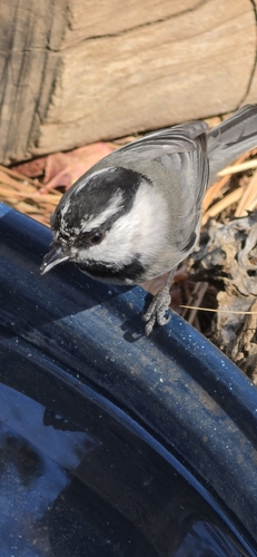
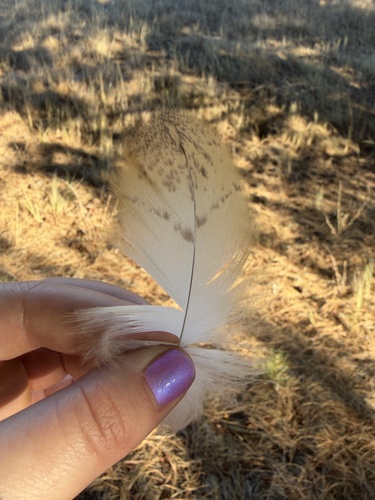
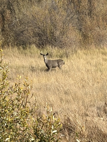
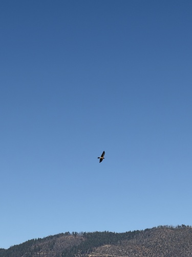
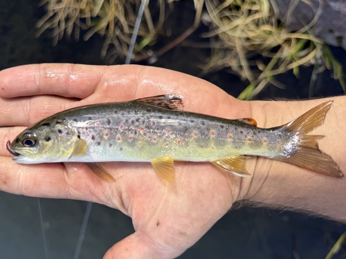
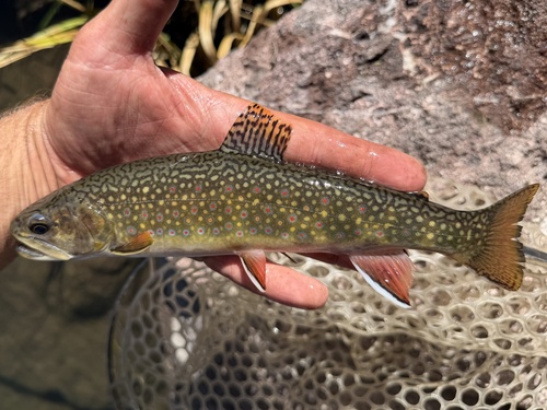
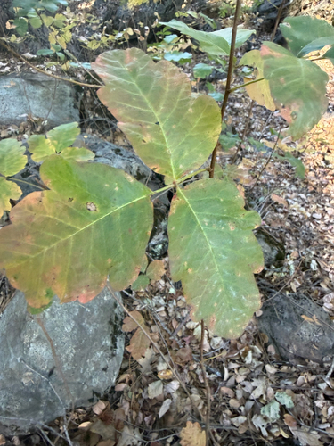
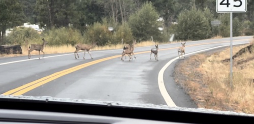
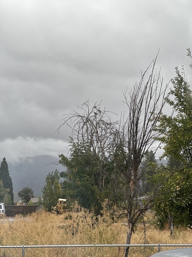
Research-grade observations from iNaturalist (within ~15 mi).
Nearest stream gauge
Live readings from USGS NWIS · measured 2026-09-17 09:30 UTC.
Events
Gallery
Sources
- • Wikipedia
- • US Census Bureau (ACS 5-year estimates)
- • NOAA National Weather Service
- • Wikidata
- • USGS NWIS (water data)
- • NCES via Urban Institute Education Data Portal
- • iNaturalist
- • CDC PLACES
- • NASA EONET