Browse / Canada / Newfoundland and Labrador / Hant's Harbour
Hant's Harbour
Newfoundland and Labradortown
Total population
346
Demographic figures from Statistics Canada. Overview below cites Wikipedia and may reference a different year.
City facts
Overview
Hant's Harbour is an incorporated town located on the east side of Trinity Bay on the Bay de Verde Peninsula in the province of Newfoundland and Labrador, Canada. It has a population of 318 according to the 2021 Canadian census.
Read more on WikipediaHistory & geography
History
During King William's War (1688–1697), the village was destroyed in the Avalon Peninsula Campaign. Like most of the early settlements around the coast of Newfoundland, the population grew very slowly during the eighteenth century. Hant's Harbour early residents were mostly of the Church of England, during the eighteenth century they depended upon the services of clergy on the irregular visits of the missionaries for the Society of the Propagation of the Gospel, stationed at Trinity. The rise and rapid growth of Methodism in Hant's Harbour caused the Church of England community to remain small, its members being served the clergy stationed at nearby parishes. In the early twentieth century the Salvation Army came to Hant's Harbour and gradually built up a substantial membership, and constructed a citadel there. * 1697 – Abbe Baudoin reports that there are four houses at Hant's Harbour. * 1801 – Five families are listed as living in Hant's Harbour. * 1813 – T.E. and Mary Pelley die. The gravestone recording this still stands. * 1820s – The first known church is built in the community. * 1830s – The population consists of 400 people. * 1847 – Ten vessels carrying 271 men are engaged in the seal hunt. * 1853 – Eight vessels totalling 767 tons carry 294 men to the seal hunt. * 1868 – 1870 – A second and much larger church is built, serving the circuit until 1907 when it is destroyed to build a new one. * 1871 – Lovell's Newfoundland Dictionary lists 81 of the 104 householders in Hant's Harbour as fisherman. Two others are listed as farmers. * 1880s – The population grows to its peak of about 750 residents. * 1961 – Fire destroys the vegetation which formerly covered the low hills which surround the harbour.
Geography
Hant's Harbour is a small fishing village built around a small harbour which opens on the north to Trinity Bay. The harbour waters are able to accommodate vessels up to 100 tons, the landscapes which surround it are low hills which are rocky and barren.
Excerpted from the corresponding Wikipedia article (CC BY-SA).
Geography
Coordinates & boundaries from the US Census TIGER/Line shapefiles.
Climate
Air quality
Walkability
Amenities nearby
Wildlife & biodiversity
Earthquake history
Photos
Sights & places nearby
Notable people from here

People born within ~10 km, from Wikidata (CC0). Click any name for their Wikipedia article.
Nearby places in Newfoundland and Labrador
- Northern Bay10.6 mi away
- Western Bay11.8 mi away
- Lower Island Cove12.7 mi away
- Caplin Cove12.7 mi away · pop. 100
- Old Perlican12.9 mi away · pop. 661
- Small Point - Broad Cove - Blackhead - Adams Cove13.9 mi away · pop. 389
- Perry's Cove15.7 mi away
- Heart's Desire16.3 mi away
- Salmon Cove16.5 mi away
- Victoria17.1 mi away · pop. 1,764
- Grates Cove18.1 mi away
- Carbonear19.5 mi away · pop. 4,739
Geography & sun
Elevation, sunrise/sunset and daylight from Open-Meteo. Solar climatology from NASA POWER.
Nearby airports
Public attention
Pageview totals from the Wikimedia Pageviews API.
Books about Hant's Harbour


Search results from Open Library.
Recent natural events nearby
Ground air-quality sensors
Recently spotted species
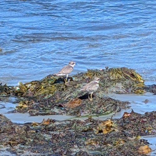
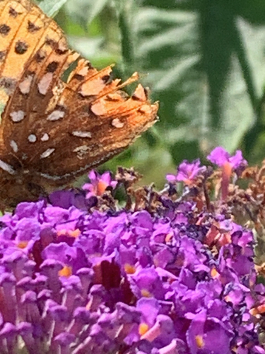
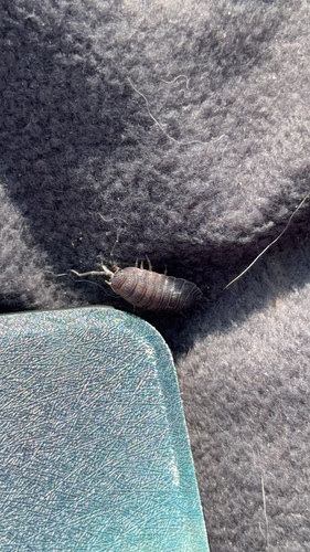
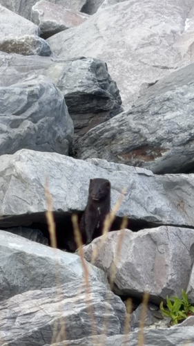
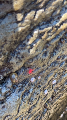
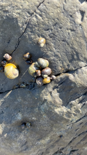
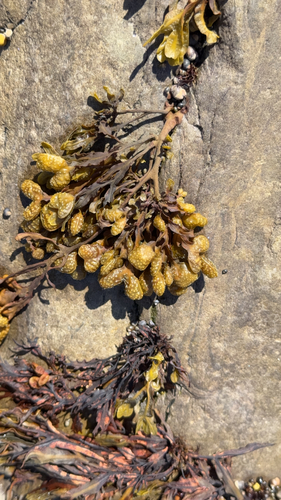
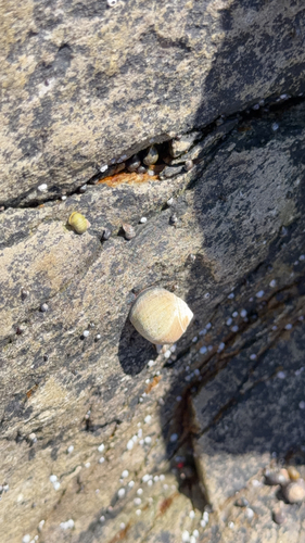
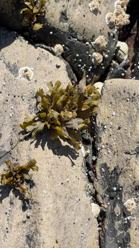
Research-grade observations from iNaturalist (within ~15 mi).
Events
Gallery
Official Identifiers
StatCan — Statistics Canada
- SGC code
- 1001335
- Wikidata
- Q5651285
Standard Geographical Classification (SGC) via Wikidata P3012
Sources
- • Wikipedia
- • Wikidata
- • iNaturalist
- • Open-Meteo / sunrise-sunset.org
- • Wikipedia Pageviews API
- • Open Library
- • StatCan — Statistics Canada — Standard Geographical Classification (SGC) via Wikidata P3012