Browse / Canada / Alberta / Hartell
Hartell
Albertahamlet

Hartell
Air quality index
Demographic figures from Statistics Canada. Overview below cites Wikipedia and may reference a different year.
City facts
Overview
Hartell is a hamlet in Alberta, Canada that is under the jurisdiction of Foothills County. It is at the intersection of Highway 22 and Highway 543, approximately 10 km (6.2 mi) south of Black Diamond, 8 km (5.0 mi) north of Longview, and 27 km (17 mi) west of High River.
Read more on WikipediaHistory & geography
Geography
Coordinates & boundaries from the US Census TIGER/Line shapefiles.
Climate
Air quality
Current readings from Open-Meteo Air Quality API (Copernicus CAMS European reanalysis).
Walkability
Amenities nearby
Wildlife & biodiversity
Most-observed species
- Black-billed MagpiePica hudsonia (Sabine, 1823) · Aves1,840
- Common RavenCorvus corax Linnaeus, 1758 · Aves1,686
- American RobinTurdus migratorius Linnaeus, 1766 · Aves1,282
- House SparrowPasser domesticus (Linnaeus, 1758) · Aves1,213
- Black-capped ChickadeePoecile atricapillus (Linnaeus, 1766) · Aves1,211
- European StarlingSturnus vulgaris Linnaeus, 1758 · Aves981
- Northern FlickerColaptes auratus (Linnaeus, 1758) · Aves962
- Red-winged BlackbirdAgelaius phoeniceus (Linnaeus, 1766) · Aves878
Citizen-science & research observations from the Global Biodiversity Information Facility (GBIF).
Earthquake history
Most recent
- M 2.54 — 2024-10-2511 km SSE of Elkford, Canada
- M 2.7 — 2023-06-0716 km NNW of Elkford, Canada
- M 2.62 — 2021-04-1915 km SSW of Elkford, Canada
- M 2.76 — 2021-04-089 km SW of Elkford, Canada
- M 2.63 — 2020-12-2918 km SE of Elkford, Canada
- M 2.58 — 2020-11-1419 km NNE of Sparwood, Canada
Events from the USGS Earthquake Catalog (global) (FDSN Event Web Service).
Photos
Sights & places nearby
Notable people from here
Nearby places in Alberta
- Naphtha2 mi away
- Diamond Valley5.2 mi away
- De Winton18 mi away
- Cayley Hutterite Colony18.6 mi away
- Albertina23.9 mi away
- Frankburg26.4 mi away
- High River Hutterite Colony26.5 mi away
- Blackie27 mi away
- Redwood Meadows29.3 mi away
- Brant Hutterite Colony32 mi away
- Carseland37.7 mi away
- Wild Rose Hutterite Colony38.7 mi away
Geography & sun
Elevation, sunrise/sunset and daylight from Open-Meteo. Solar climatology from NASA POWER.
Nearby airports
Public attention
Pageview totals from the Wikimedia Pageviews API.
Books about this place
Recent natural events nearby
- Wildfire Skillet, Lincoln, MontanaWildfires · 2026-07-29 · 149 mi
- Wildfire Parker Lake, Boundary, IdahoWildfires · 2026-08-23 · 160 mi
- Wildfire Deer Creek, Lincoln, MontanaWildfires · 2026-08-20 · 173 mi
- Wildfire Silver, Boundary, IdahoWildfires · 2026-08-23 · 174 mi
- Wildfire Dudley, Shoshone, IdahoWildfires · 2026-08-26 · 225 mi
- Wildfire Camp Creek, Powell, MontanaWildfires · 2026-08-21 · 225 mi
- Wildfire FAIRVIEW, Spokane, WashingtonWildfires · 2026-08-01 · 242 mi
- Wildfire Middle Coulee, Chouteau, MontanaWildfires · 2026-08-02 · 246 mi
Wildfires, storms and other events from NASA EONET (last 12 months, within 250 mi).
Ground air-quality sensors
Recently spotted species
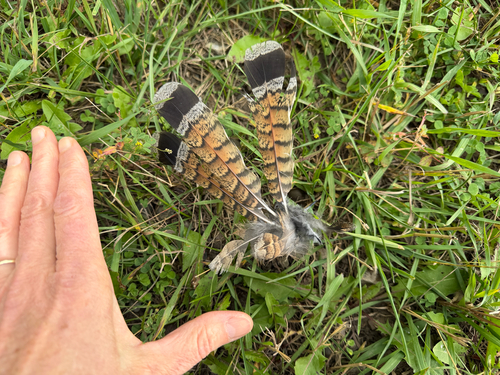
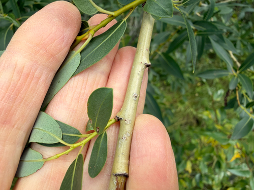
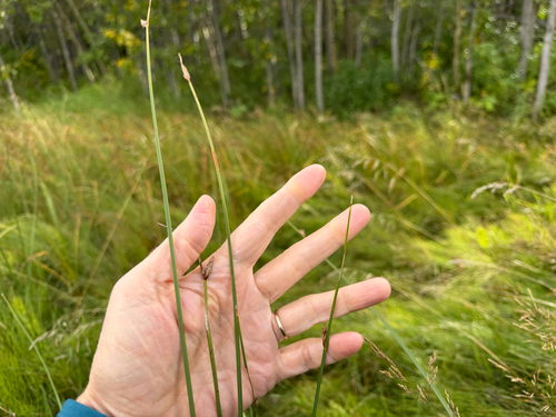
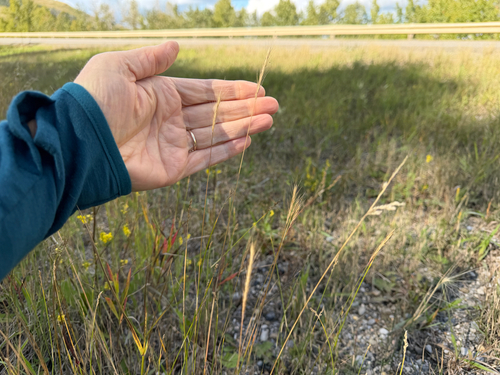
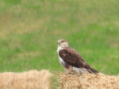
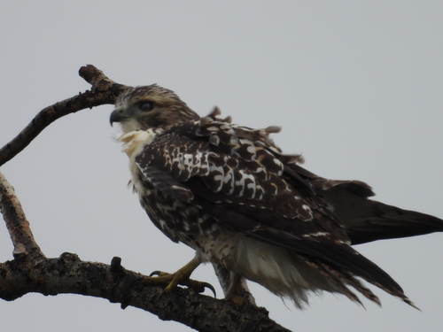
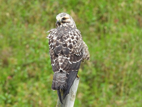
Research-grade observations from iNaturalist (within ~15 mi).
Events
Gallery
Sources
- • Wikipedia
- • Open-Meteo Air Quality (CAMS)
- • USGS Earthquake Catalog (global feed)
- • GBIF (Global Biodiversity Information Facility)
- • iNaturalist
- • Open-Meteo / sunrise-sunset.org
- • Wikipedia Pageviews API
- • NASA EONET