Browse / Canada / Alberta / High Level
High Level
Albertatown

High Level
Total population
3,922
Demographic figures from Statistics Canada. Overview below cites Wikipedia and may reference a different year.
City facts
Overview
High Level is a town in northern Alberta, Canada. It is located at the intersection of the Mackenzie Highway and Highway 58, approximately 733 kilometres (455 mi) north of Edmonton, approximately 451 kilometres (280 mi) north of Grande Prairie and 725 km (450 mi) south of Yellowknife, Northwest Territories. High Level is located within Mackenzie County and was founded in 1947. The town serves a trading area of approximately 20,000 people.
Read more on WikipediaHistory & geography
History
The name High Level originated from the height of the land that separates the Peace and the Hay Rivers. The original location was approximately north of the present spot and along the old Fort Vermilion/Meander River freighting trail, serving as a stopping place, not a town. The original High Level Sports Grounds were at this location and the old trail was still visible there in the mid 1960s. The High Level Golf & Country Club currently occupies this approximate location. For many years, High Level was known as Tloc Moi (Hay Meadow).
Geography
High Level marks the northern extent of the Peace River Country, and has one of the northernmost lands suited for agriculture in Canada. Although High Level is well north of the median population of Canada, it is on a similar latitude to the northernmost town of mainland United Kingdom in Thurso and to the south of five European capitals. High Level has a subarctic climate (Köppen climate classification Dfc), with precipitation falling chiefly during the spring and summer, and wide temperature variations, rendering warm summers for the classification. The name notwithstanding, this town lies at a low elevation for an Alberta community and the regional topography contributes to the extremes of temperature. In winter, very cold air often pools over the area. In summer, air masses originating from higher elevations warm by compression as they descend to High Level. Summer temperatures render High Level well within the vegetation zone, and winter average temperatures are less severe than further east in Canada, even at lower latitudes. The coldest recorded temperature on January 13, 1972, with the hottest recorded temperature, of was on July 9, 2024. The record high daily minimum was recorded July 19, 2007. The record highest dew point was recorded June 30, 2021. The most humid month was July 2007 with an average dew point of . The warmest month was July 2024 with an average mean temperature of , and an average daily maximum of . July 2007 recorded the month with the highest average monthly daily minimum of . July 2014 set a record of no maximum temperature below for the entire month; July 1997 with no temperature below , and July 1994 with no dew point below . The lowest yearly maximum dew point is recorded in 1986. The lowest yearly maximum daily minimum…
Excerpted from the corresponding Wikipedia article (CC BY-SA).
Geography
Coordinates & boundaries from the US Census TIGER/Line shapefiles.
Climate
Air quality
Walkability
Amenities nearby
Wildlife & biodiversity
Earthquake history
Photos
Sights & places nearby
Notable people from here
Nearby places in Alberta
- North Tallcree63.2 mi away · pop. 225
- John D'Or Prairie71.7 mi away · pop. 1,326
- Garden River118.1 mi away · pop. 706
- Lac Cardinal157.5 mi away
- St. Isidore159.7 mi away · pop. 236
- Hines Creek Hutterite Colony161.2 mi away
- Cleardale Hutterite Colony170.8 mi away
- Gardiner Camp182.9 mi away
- Normandville183.3 mi away
- Birch Meadows Hutterite Colony187.9 mi away
- Girouxville191 mi away
- Eaglesham191 mi away
Geography & sun
Elevation, sunrise/sunset and daylight from Open-Meteo. Solar climatology from NASA POWER.
Nearby airports
Public attention
Pageview totals from the Wikimedia Pageviews API.
Books about High Level




Search results from Open Library.
Recent natural events nearby
Ground air-quality sensors
Recently spotted species
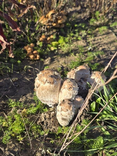
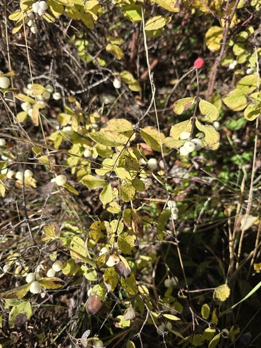
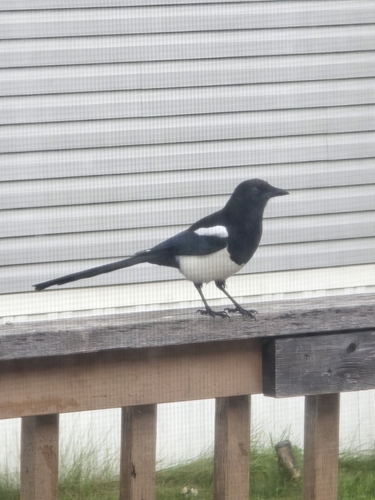
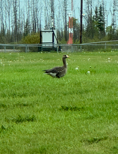
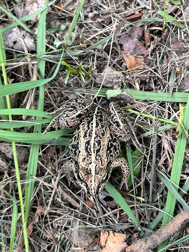
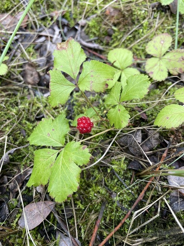
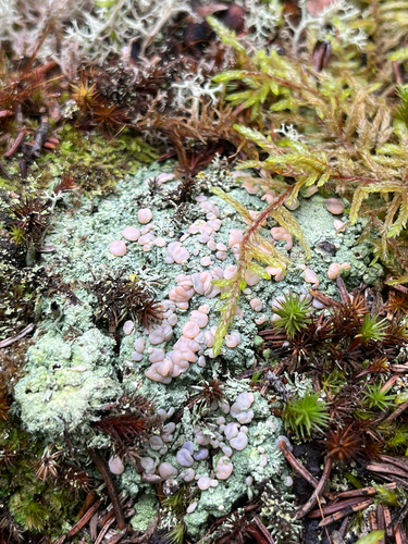
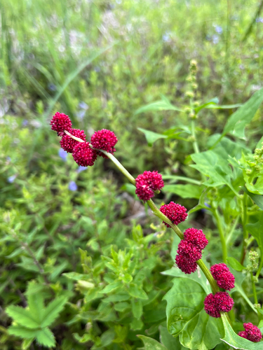
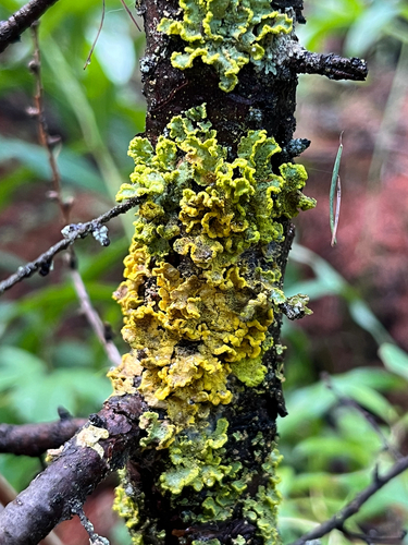
Research-grade observations from iNaturalist (within ~15 mi).
Events
Gallery
Geotagged photos within ~6 miles of High Level, from Wikimedia Commons contributors.
.jpg)
.jpg)
.jpg)

Photos via Wikimedia Commons — see each image page for license & attribution.
Official Identifiers
StatCan — Statistics Canada
- SGC code
- 4817093
- Population (Wikidata)
- 3,159
- Wikidata
- Q430949
Standard Geographical Classification (SGC) via Wikidata P3012
Sources
- • Wikipedia
- • Wikimedia Commons
- • iNaturalist
- • Open-Meteo / sunrise-sunset.org
- • Wikipedia Pageviews API
- • Open Library
- • StatCan — Statistics Canada — Standard Geographical Classification (SGC) via Wikidata P3012