Browse / Canada / Alberta / High River
High River
Albertatown

High River
Demographic figures from Statistics Canada. Overview below cites Wikipedia and may reference a different year.
City facts
Facts from Wikidata (CC0).
Overview
High River is a town within the Calgary Metropolitan Region of Alberta, Canada. It is approximately 68 kilometres (42 mi) south of Calgary, at the junction of Alberta Highways 2 and 23. High River had a population of 14,324 in 2021.
Read more on WikipediaHistory & geography
History
The community takes its name from the Highwood River, which flows through the town. The area was originally inhabited largely by the Blackfoot First Nation, who called the site Ispitzee (or the "place of high trees along running water"). By 1870, after the arrival of the North-West Mounted Police and after Treaty Number 7 had been signed in 1877, settlers began arriving into the region. High River's development centred on a convenient location for people, horses and cattle to cross the Highwood River - a location known as "The Crossing". Development of the town was supported by the completion of the Calgary and Edmonton Railway in 1892. Although growth slowed during the First World War, it continued after the war with the building of brick structures and a number of industries. One of Canada's first air force stations was constructed to the east of the town in 1921 The establishment of a British Commonwealth Air Training Plan elementary flying training school at the same air station helped boost High River's economy during the Second World War. Most recently during the 2013 Alberta floods, thousands of people in Alberta were ordered to evacuate their homes after the rise of the Highwood River, Bow River, Elbow River, Sheep River, and numerous others. In 2013, three people died as a result of the flooding of the Highwood River.
Geography
High River experiences a humid continental climate (Köppen climate classification Dfb). Summer days are mild to warm with cool nights, while winters are cold and snowy with annual snowfall averaging 69 inches (175 cm).
Excerpted from the corresponding Wikipedia article (CC BY-SA).
Geography
Coordinates & boundaries from the US Census TIGER/Line shapefiles.
Climate
Air quality
Walkability
Amenities nearby
Wildlife & biodiversity
Earthquake history
Photos
Sights & places nearby
Notable people from here


People born within ~10 km, from Wikidata (CC0). Click any name for their Wikipedia article.
Nearby places in Alberta
- Cayley Hutterite Colony11.3 mi away
- High River Hutterite Colony11.5 mi away
- Albertina15.8 mi away
- Naphtha16.2 mi away
- Brant Hutterite Colony16.8 mi away
- De Winton18 mi away
- Wild Rose Hutterite Colony24.1 mi away
- Carseland25.7 mi away
- Riverbend Hutterite Colony30.3 mi away
- Little Bow Hutterite Colony33.4 mi away
- Willow Creek Hutterite Colony35 mi away
- Mialta Hutterite Colony36.1 mi away
Geography & sun
Elevation, sunrise/sunset and daylight from Open-Meteo. Solar climatology from NASA POWER.
Nearby airports
Public attention
Pageview totals from the Wikimedia Pageviews API.
Books about High River


Search results from Open Library.
Recent natural events nearby
Ground air-quality sensors
Recently spotted species
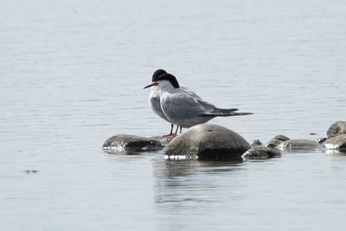
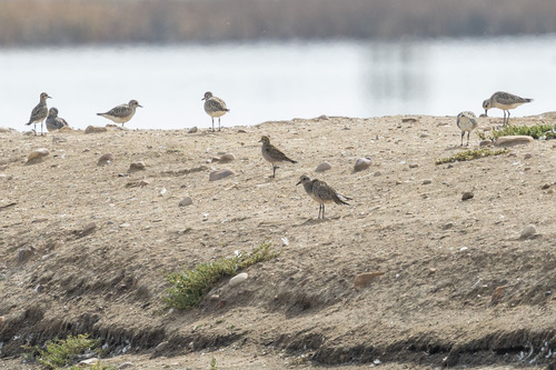
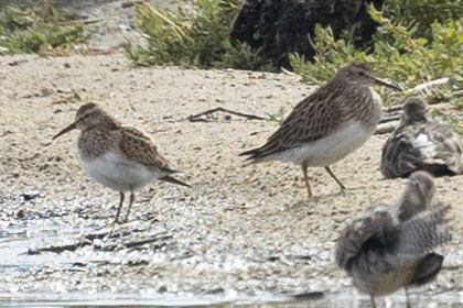
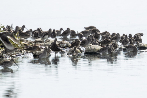
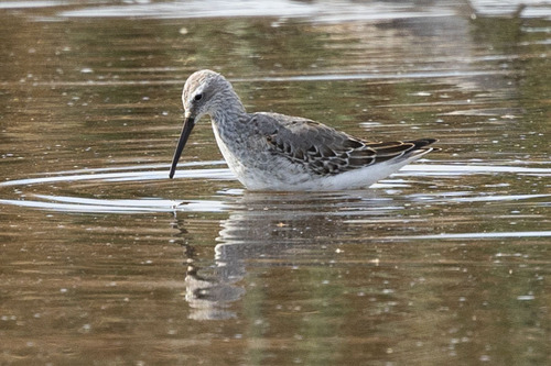
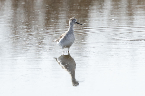
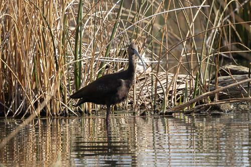
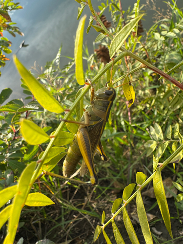
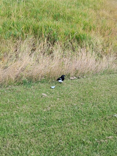
Research-grade observations from iNaturalist (within ~15 mi).
Events
Gallery
Official Identifiers
StatCan — Statistics Canada
- SGC code
- 4806006
- Population (Wikidata)
- 13,584
- Wikidata
- Q1743705
Standard Geographical Classification (SGC) via Wikidata P3012
Sources
- • Wikipedia
- • Wikidata
- • iNaturalist
- • Open-Meteo / sunrise-sunset.org
- • Wikipedia Pageviews API
- • Open Library
- • StatCan — Statistics Canada — Standard Geographical Classification (SGC) via Wikidata P3012