Browse / United States / California / Hornitos
Hornitos
CaliforniaCDP

Hornitos
Total population
0
Median home value
$0
Median income
$0
Demographic figures from US Census Bureau · ACS 5-year estimates. Overview below cites Wikipedia and may reference a different year.
City facts
Facts from Wikidata (CC0).
Overview
Hornitos is a census-designated place in Mariposa County, California, United States. It is located on Burns Creek 25 miles (40 km) by road south of Coulterville, at an elevation of 843 feet (257 m). The population was 38 at the 2020 census, down from 75 at the 2010 census.
Read more on WikipediaHistory & geography
History
The Hornitas post office opened in 1856 and changed its name to Hornitos in 1877. The name, meaning "little ovens" in Spanish, Domingo Ghirardelli had a general store here between 1856 and 1859, where he perfected his chocolate recipes. The remains of the store can still be seen in town. Hornitos was disincorporated by state statute in 1973.
Geography
Hornitos is in western Mariposa County, west of Mariposa, the county seat, and northeast of Merced. According to the United States Census Bureau, the CDP covers an area of , all of it land. Burns Creek flows through the center of town, running southwest to join Bear Creek, a tributary of the San Joaquin River, in Merced County.
Excerpted from the corresponding Wikipedia article (CC BY-SA).
Demographics & economy
Source: US Census Bureau — American Community Survey, 5-year estimates.
Geography
Coordinates & boundaries from the US Census TIGER/Line shapefiles.
Climate
Air quality
Industrial & pollution facilities
Natural hazard risk
Health (adults)
Walkability
Amenities nearby
Wildlife & biodiversity
Most-observed species
- Canada Goose (canadensis Group)Branta canadensis (Linnaeus, 1758) · Aves1,700
- Black PhoebeSayornis nigricans (Swainson, 1827) · Aves1,650
- California/Woodhouse's Scrub-JayAphelocoma californica (Vigors, 1839) · Aves1,573
- Mourning DoveZenaida macroura (Linnaeus, 1758) · Aves1,413
- Red-tailed HawkButeo jamaicensis (Gmelin, 1788) · Aves1,389
- Turkey VultureCathartes aura (Linnaeus, 1758) · Aves1,388
- White-crowned SparrowZonotrichia leucophrys (J.R.Forster, 1772) · Aves1,358
- Western MeadowlarkSturnella neglecta Audubon, 1844 · Aves1,344
Citizen-science & research observations from the Global Biodiversity Information Facility (GBIF).
Schools
Earthquake history
Most recent
- M 2.54 — 2026-08-2822 km SE of Yosemite Valley, CA
- M 2.68 — 2026-04-298 km NW of Yosemite Lakes, CA
- M 2.66 — 2026-03-216 km WSW of Friant, CA
- M 2.55 — 2026-03-1620 km SW of Gustine, CA
- M 2.84 — 2026-03-0722 km SW of South Dos Palos, CA
- M 2.68 — 2026-02-2223 km SW of South Dos Palos, CA
Events from the USGS Earthquake Catalog (global) (FDSN Event Web Service).
Photos
Sights & places nearby
Notable people from here
Nearby places in California
Geography & sun
Nearby airports
Public attention
Books about this place
Recent natural events nearby
- Wildfire DOME, Mariposa, CaliforniaWildfires · 2026-09-15 · 34 mi
- Wildfire GANN, Calaveras, CaliforniaWildfires · 2026-08-03 · 51 mi
- Incident Complex CINDER COMPLEX, Inyo, CaliforniaWildfires · 2026-07-25 · 114 mi
- Wildfire Timber, Monterey, CaliforniaWildfires · 2026-08-09 · 121 mi
- Wildfire Plaskett, Monterey, CaliforniaWildfires · 2026-08-26 · 128 mi
- Wildfire FLORISTON, Nevada, CaliforniaWildfires · 2026-09-16 · 131 mi
- Wildfire Hawk, Washoe, NevadaWildfires · 2026-08-22 · 142 mi
- Wildfire Hawk, Washoe, NevadaWildfires · 2026-08-22 · 142 mi
Wildfires, storms and other events from NASA EONET (last 12 months, within 250 mi).
Ground air-quality sensors
Recently spotted species
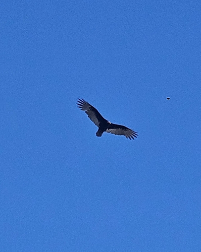
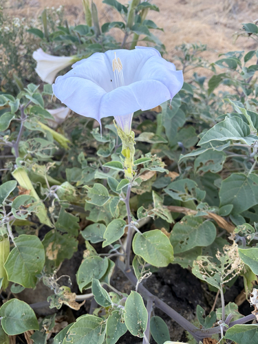
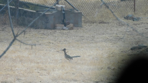
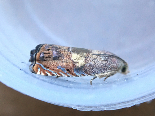
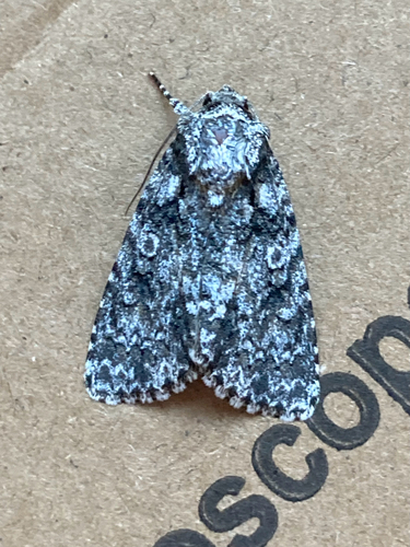
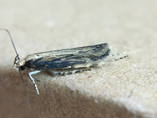
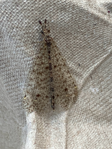
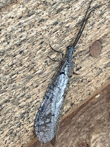
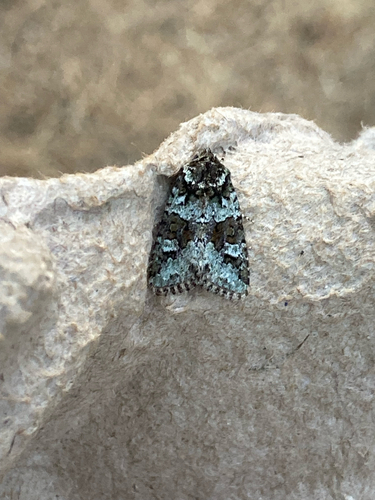
Research-grade observations from iNaturalist (within ~15 mi).
Nearest stream gauge
Events
Gallery
Sources
- • Wikipedia
- • US Census Bureau (ACS 5-year estimates)
- • Wikidata
- • USGS Earthquake Catalog (global feed)
- • GBIF (Global Biodiversity Information Facility)
- • iNaturalist
- • NASA EONET