Browse / Canada / British Columbia / Invermere
Invermere
British Columbiavillage

Invermere
Founded
1951
Demographic figures from Statistics Canada. Overview below cites Wikipedia and may reference a different year.
City facts
Facts from Wikidata (CC0).
Overview
Invermere is a community in eastern British Columbia, Canada, near the border of Alberta. It is the hub of the Columbia Valley between Golden to the north and Cranbrook to the south. Invermere sits on the northwest shore of Windermere Lake and is a popular summer destination for visitors and second home owners from Edmonton and Calgary.
Read more on WikipediaHistory & geography
Geography
Invermere is located south of Radium, and south of Golden and from the Trans-Canada Highway. Invermere is also north of Fairmont Hot Springs, north of Canal Flats, north of Fort Steele, north of Kimberley, and north of the hub of Cranbrook and the Crowsnest Highway. Invermere is situated within the Columbia River Wetlands, North America's largest intact wetland and a Ramsar-designated site. Located in the Rocky Mountain Trench, Invermere is from Kootenay National Park, and is near the Purcell Wilderness Conservancy.
Excerpted from the corresponding Wikipedia article (CC BY-SA).
Geography
Coordinates & boundaries from the US Census TIGER/Line shapefiles.
Climate
Air quality
Walkability
Amenities nearby
Wildlife & biodiversity
Earthquake history
Photos
Sights & places nearby
Notable people from here


People born within ~10 km, from Wikidata (CC0). Click any name for their Wikipedia article.
Nearby places in British Columbia
Geography & sun
Elevation, sunrise/sunset and daylight from Open-Meteo. Solar climatology from NASA POWER.
Nearby airports
Public attention
Pageview totals from the Wikimedia Pageviews API.
Books about Invermere

Search results from Open Library.
Recent natural events nearby
- Wildfire Parker Lake, Boundary, IdahoWildfires · 2026-08-23 · 116 mi
- Wildfire Silver, Boundary, IdahoWildfires · 2026-08-23 · 133 mi
- Wildfire Skillet, Lincoln, MontanaWildfires · 2026-07-29 · 149 mi
- Wildfire Deer Creek, Lincoln, MontanaWildfires · 2026-08-20 · 167 mi
- Wildfire HUDSPETH, Stevens, WashingtonWildfires · 2026-08-01 · 193 mi
- Wildfire AUTUMN LANE, Spokane, WashingtonWildfires · 2026-08-01 · 200 mi
- Wildfire FAIRVIEW, Spokane, WashingtonWildfires · 2026-08-01 · 200 mi
- Wildfire Dudley, Shoshone, IdahoWildfires · 2026-08-26 · 205 mi
Wildfires, storms and other events from NASA EONET (last 12 months, within 250 mi).
Ground air-quality sensors
Recently spotted species
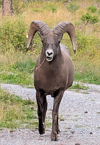
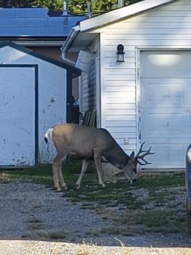
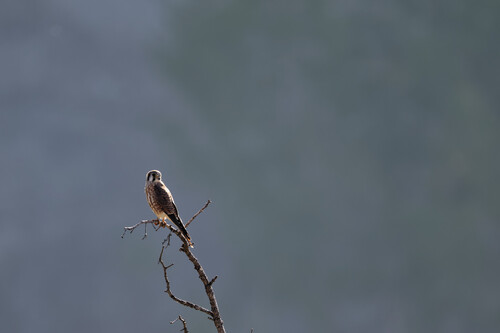
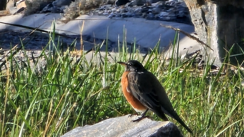
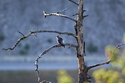
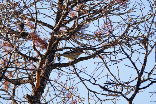
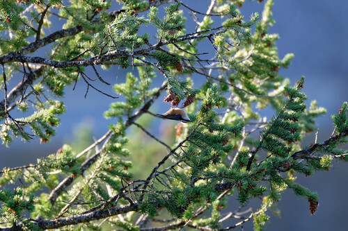
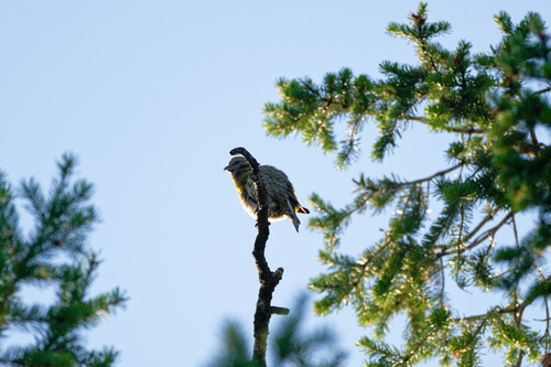
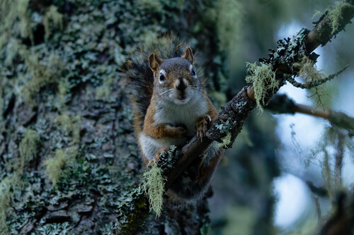
Research-grade observations from iNaturalist (within ~15 mi).
Events
Gallery
Official Identifiers
StatCan — Statistics Canada
- SGC code
- 5901039
- Population (Wikidata)
- 3,391
- Wikidata
- Q282363
Standard Geographical Classification (SGC) via Wikidata P3012
Sources
- • Wikipedia
- • Wikidata
- • iNaturalist
- • Open-Meteo / sunrise-sunset.org
- • Wikipedia Pageviews API
- • Open Library
- • NASA EONET
- • StatCan — Statistics Canada — Standard Geographical Classification (SGC) via Wikidata P3012