Browse / United States / California / Ione
Ione
Californiacity

Ione
Total population
9,156
Median home value
$474,900
Bachelor's+
Median income
$91,495
Founded
1849
Demographic figures from US Census Bureau · ACS 5-year estimates. Overview below cites Wikipedia and may reference a different year.
- Heat Advisory · ModerateHeat Advisory issued October 1 at 9:34AM PDT until October 5 at 10:00PM PDT by NWS Sacramento CA
Source: NOAA National Weather Service.
City facts
Facts from Wikidata (CC0).
Overview
Ione is a city in Amador County, California, United States. As of the 2020 census the population is 5,141, which is a 35.1% decrease from the 2010 census. Once known as "Bedbug" and "Freeze Out," Ione was an important supply center on the main road to the Mother Lode and Southern Mines during the California gold rush.
Read more on WikipediaHistory & geography
History
Ione is the historical home of the Sierra Miwok Indians. In 1840, the future town site became part of the Mexican land grant Rancho Arroyo Seco in Alta California. The town is located in the fertile Ione Valley; it is believed to have been named by Thomas Brown around 1849 after one of the heroines in Edward Bulwer-Lyttons drama The Last Days of Pompeii, but conflicting legends and sources for the name exist. During the days of the California gold rush, the miners knew the town by the names of "Bedbug" and "Freezeout." Unlike other communities in Amador County that were founded on gold mining, Ione was a supply center, stage and rail stop, and agricultural hub. The first post office opened in 1852. The town of Ione continued to grow and prosper after its gold rush founding. The first school was built in 1853. The historic Methodist Church was organized in 1853 and the structure was completed in 1862. The first flour mill was built in 1855. The first brick building was built by Daniel Stewart, D. Stewart Company Store, in 1855 for his general merchandise store. It is still owned and operated by Stewart family descendants. In March 1865, Camp Jackson was built nearby. It was garrisoned by Company D, 2nd California Volunteer Cavalry, who stayed for three months before moving to a new post. At the centennial celebration of 1876, Ione had a population of about 600, which included about 100 Chinese who lived in Ione's Chinatown. The town included one public school, four churches, four general stores, one meat market, one laundry, one brewery, a restaurant, millinery shop, an art gallery, six saloons, a drug store and barber shop, and many other business establishments. The centennial also celebrated the completion of the Stockton and Ione Railroad, which had been…
Geography
Ione is located at .
Excerpted from the corresponding Wikipedia article (CC BY-SA).
Demographics & economy
Race & ethnicity
Source: US Census Bureau — American Community Survey, 5-year estimates.
Geography
Coordinates & boundaries from the US Census TIGER/Line shapefiles.
Climate
Current forecast
Forecast for Ione, CA from NOAA NWS API.
Air quality
Industrial & pollution facilities
Natural hazard risk
Health (adults)
Age-adjusted prevalence estimates from CDC PLACES (latest release).
Walkability
Amenities nearby
Wildlife & biodiversity
Most-observed species
- Turkey VultureCathartes aura (Linnaeus, 1758) · Aves3,348
- Acorn WoodpeckerMelanerpes formicivorus (Swainson, 1827) · Aves2,691
- European StarlingSturnus vulgaris Linnaeus, 1758 · Aves2,398
- Red-tailed HawkButeo jamaicensis (Gmelin, 1788) · Aves2,356
- Canada Goose (canadensis Group)Branta canadensis (Linnaeus, 1758) · Aves2,309
- California/Woodhouse's Scrub-JayAphelocoma californica (Vigors, 1839) · Aves2,279
- Black PhoebeSayornis nigricans (Swainson, 1827) · Aves2,205
- Common RavenCorvus corax Linnaeus, 1758 · Aves2,093
Citizen-science & research observations from the Global Biodiversity Information Facility (GBIF).
Schools
Largest nearby schools
- Amador HighHigh · Sutter Creek · 702 students · 21.3:1 ratio
- Argonaut HighHigh · Jackson · 536 students · 17.9:1 ratio
- Ione ElementaryElementary · Ione · 524 students · 23.8:1 ratio
- Jackson ElementaryElementary · Jackson · 500 students · 22.7:1 ratio
- Ione Junior HighMiddle · Jackson · 393 students · 19.6:1 ratio
- Sutter Creek ElementaryElementary · Sutter Creek · 380 students · 23.8:1 ratio
- Jackson Junior HighMiddle · Jackson · 346 students · 17.3:1 ratio
- Plymouth ElementaryElementary · Plymouth · 186 students · 23.3:1 ratio
Public K–12 schools within ~10 mi from Urban Institute Education Data Portal (NCES Common Core of Data, 2022).
Earthquake history
Photos
Sights & places nearby
Notable people from here
Nearby places in California
Geography & sun
Elevation, sunrise/sunset and daylight from Open-Meteo. Solar climatology from NASA POWER.
Nearby airports
Public attention
Pageview totals from the Wikimedia Pageviews API.
Books about Ione

Search results from Open Library.
Recent natural events nearby
- Wildfire GANN, Calaveras, CaliforniaWildfires · 2026-08-03 · 20 mi
- Wildfire FLORISTON, Nevada, CaliforniaWildfires · 2026-09-16 · 87 mi
- Wildfire DOME, Mariposa, CaliforniaWildfires · 2026-09-15 · 91 mi
- Wildfire Hawk, Washoe, NevadaWildfires · 2026-08-22 · 97 mi
- Wildfire Hawk, Washoe, NevadaWildfires · 2026-08-22 · 97 mi
- Wildfire Bug, Lassen, CaliforniaWildfires · 2026-08-08 · 106 mi
- Wildfire Fred Mt, Washoe, NevadaWildfires · 2026-08-09 · 113 mi
- Wildfire LUCAS, Lake, CaliforniaWildfires · 2026-09-10 · 126 mi
Wildfires, storms and other events from NASA EONET (last 12 months, within 250 mi).
Ground air-quality sensors
Recently spotted species
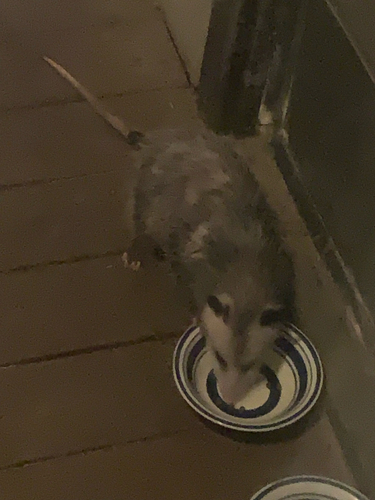
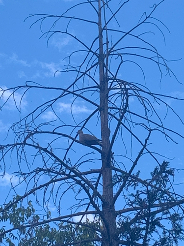
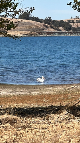
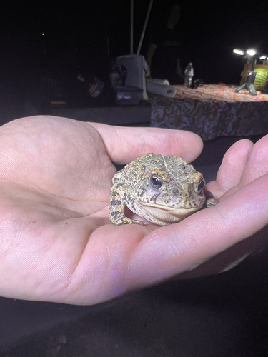
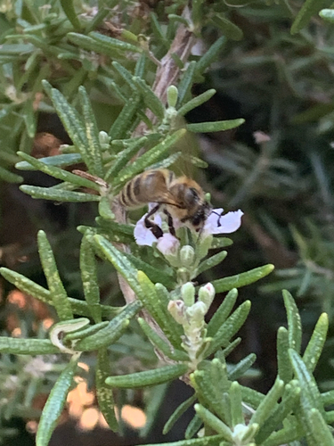
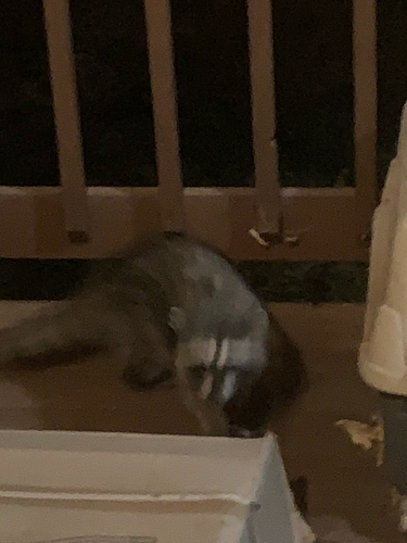
Research-grade observations from iNaturalist (within ~15 mi).
Nearest stream gauge
Live readings from USGS NWIS · measured 2026-10-01 16:30 UTC.
Events
Gallery
Sources
- • Wikipedia
- • US Census Bureau (ACS 5-year estimates)
- • NOAA National Weather Service
- • Wikidata
- • USGS NWIS (water data)
- • NCES via Urban Institute Education Data Portal
- • GBIF (Global Biodiversity Information Facility)
- • iNaturalist
- • CDC PLACES
- • Open-Elevation
- • Open-Meteo / sunrise-sunset.org
- • Wikipedia Pageviews API
- • Open Library
- • NASA EONET