Browse / United States / California / Junction City
Junction City
CaliforniaCDP

Junction City
Total population
1,190
Median home value
$283,300
Bachelor's+
Median income
$48,250
Demographic figures from US Census Bureau · ACS 5-year estimates. Overview below cites Wikipedia and may reference a different year.
City facts
Facts from Wikidata (CC0).
Overview
Junction City is a census-designated place (CDP) in Trinity County, California, United States. Junction City sits at an elevation of 1,909 feet (582 m). Its population is 658 as of the 2020 census, down from 680 from the 2010 census. Junction City is located 8 miles (13 km) west of Weaverville. The Trinity River runs through the town and heads northwest from there. The ZIP Code is 96048. The community is served by area code 530.
Read more on WikipediaHistory & geography
History
Junction City was established when a few cabins were built in the 1850s at the mouth of Canyon Creek, it was originally called "Milltown" due to the number of mills, but in 1861 it was officially named Junction City since it served as a junction for several transportation routes at Canyon Creek and Trinity River. Junction City had the largest and most famous diversion dam. The Arkansas Dam, was built in 1851, four miles upstream of Junction City. After the dam washed out in the winter of 1851 and again in 1852, it was rebuilt so substantially as to withstand not only the winter storms but also contain an upstream dam break flood that occurred when the 14-foot-high diversion dam at Union bar gave way. The ensuing flood wiped out every water wheel, dam, and other structures along the river in the intervening 20 miles between the dams. In 1857, Arkansas dam was removed by the miners so they could reach the gold deposits beneath the dam. In 1988, a Tibetan Buddhist temple, Rigdzin Ling, part of the Chagdud Gonpa Foundation founded by Chagdud Tulku Rinpoche. [https://chagdudgonpa.org/] In the May 8th, 2005 the hotel burned down under mysterious circumstances. It was one of the last remaining buildings in Junction City from the 1800s. In May 2006, the Junction Fire scorched , then later combined with the Bar Fire, making that . The Junction Fire threatened all of Junction City, and even some parts of the town of Weaverville. On July 20, 2008, fire threatened communities near Junction City; some areas were under mandatory evacuation. Many huge forest fires broke out because of a lightning storm which occurred on June 20, 2008, in Northern California.
Geography
According to the United States Census Bureau, the CDP covers an area of 26.6 square miles (68.8 km2) of which 99.87% is land and 0.13% is water.
Excerpted from the corresponding Wikipedia article (CC BY-SA).
Demographics & economy
Race & ethnicity
Source: US Census Bureau — American Community Survey, 5-year estimates.
Geography
Coordinates & boundaries from the US Census TIGER/Line shapefiles.
Climate
Current forecast
Forecast for Junction City, CA from NOAA NWS API.
Air quality
Industrial & pollution facilities
Natural hazard risk
Health (adults)
Walkability
Amenities nearby
Wildlife & biodiversity
Most-observed species
- Common RavenCorvus corax Linnaeus, 1758 · Aves2,299
- California/Woodhouse's Scrub-JayAphelocoma californica (Vigors, 1839) · Aves1,722
- Acorn WoodpeckerMelanerpes formicivorus (Swainson, 1827) · Aves1,711
- Spotted TowheePipilo maculatus Swainson, 1827 · Aves1,137
- Eurasian Collared-DoveStreptopelia decaocto (Frivaldszky, 1838) · Aves918
- Northern FlickerColaptes auratus (Linnaeus, 1758) · Aves904
- Song SparrowMelospiza melodia (A.Wilson, 1810) · Aves895
- Anna's HummingbirdCalypte anna (R.Lesson, 1829) · Aves890
Citizen-science & research observations from the Global Biodiversity Information Facility (GBIF).
Schools
Earthquake history
Most recent
- M 2.58 — 2026-09-157 km E of Hydesville, CA
- M 3.67 — 2026-09-0736 km E of Hydesville, CA
- M 2.55 — 2026-08-1828 km NW of Weaverville, CA
- M 2.72 — 2026-08-1232 km NNW of Covelo, CA
- M 2.62 — 2026-08-1032 km NW of Covelo, CA
- M 3.16 — 2026-08-0831 km NNW of Covelo, CA
Events from the USGS Earthquake Catalog (global) (FDSN Event Web Service).
Photos
Sights & places nearby
Notable people from here


People born within ~10 km, from Wikidata (CC0). Click any name for their Wikipedia article.
Nearby places in California
- Douglas City10.4 mi away · pop. 1,060
- Hayfork11.3 mi away · pop. 2,537
- Post Mountain23.4 mi away
- French Gulch23.9 mi away · pop. 154
- Platina27.7 mi away
- Mad River29.9 mi away
- Ono30 mi away
- Happy Valley39.6 mi away · pop. 5,944
- Mountain Gate39.7 mi away
- Bella Vista43.8 mi away · pop. 4,511
- Palo Cedro45.7 mi away
- Phillipsville51.6 mi away
Geography & sun
Elevation, sunrise/sunset and daylight from Open-Meteo. Solar climatology from NASA POWER.
Nearby airports
Public attention
Pageview totals from the Wikimedia Pageviews API.
Books about Junction City


Search results from Open Library.
Recent natural events nearby
- Wildfire MP18, Humboldt, CaliforniaWildfires · 2026-08-07 · 42 mi
- Wildfire LUCAS, Lake, CaliforniaWildfires · 2026-09-10 · 104 mi
- Wildfire LUCAS, Lake, CaliforniaWildfires · 2026-09-10 · 104 mi
- Wildfire Fielder Mtn, Jackson, OregonWildfires · 2026-08-13 · 117 mi
- Wildfire FELIZ, Mendocino, CaliforniaWildfires · 2026-08-01 · 121 mi
- Wildfire Wrights Spring, Klamath, OregonWildfires · 2026-08-05 · 139 mi
- Wildfire Bug, Lassen, CaliforniaWildfires · 2026-08-08 · 175 mi
- Wildfire Fred Mt, Washoe, NevadaWildfires · 2026-08-09 · 183 mi
Wildfires, storms and other events from NASA EONET (last 12 months, within 250 mi).
Ground air-quality sensors
Recently spotted species
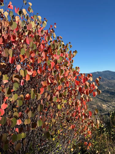
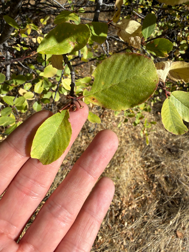
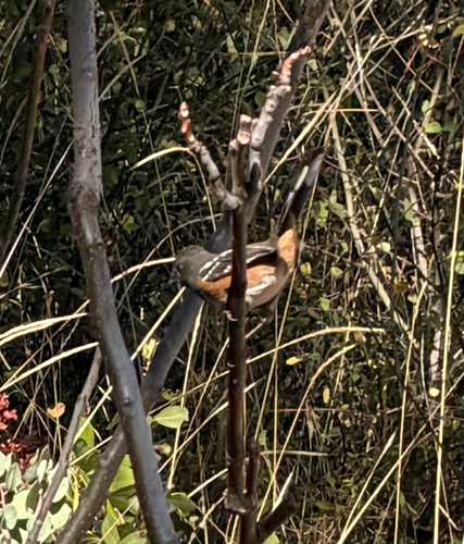
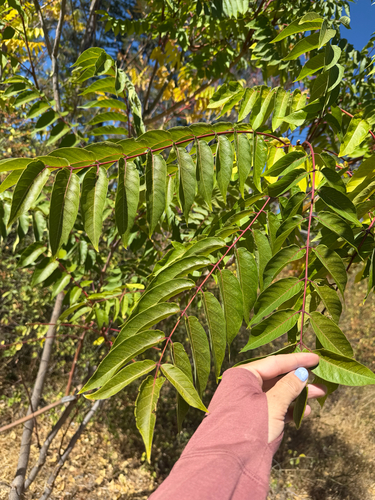
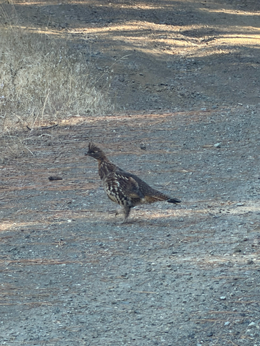
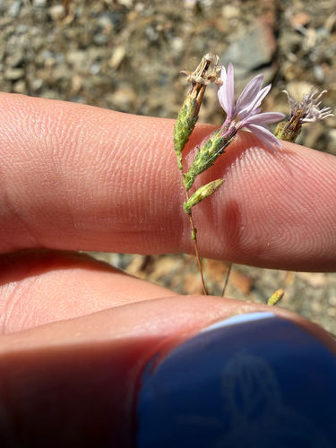
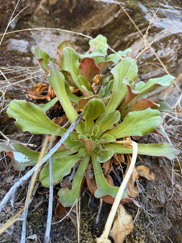
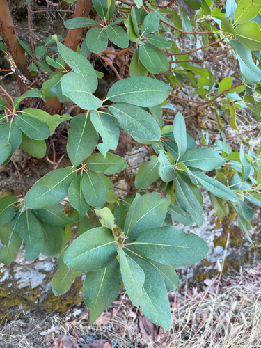
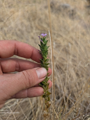
Research-grade observations from iNaturalist (within ~15 mi).
Nearest stream gauge
Live readings from USGS NWIS · measured 2026-10-01 16:45 UTC.
Events
Gallery
Sources
- • Wikipedia
- • US Census Bureau (ACS 5-year estimates)
- • NOAA National Weather Service
- • Wikidata
- • USGS Earthquake Catalog (global feed)
- • USGS NWIS (water data)
- • GBIF (Global Biodiversity Information Facility)
- • iNaturalist
- • Open-Meteo / sunrise-sunset.org
- • Wikipedia Pageviews API
- • Open Library
- • NASA EONET