Browse / Canada / Nunavut / ᑭᒻᒥᕈᑦ Kimmirut
ᑭᒻᒥᕈᑦ Kimmirut
Nunavuttown
Total population
480
Demographic figures from Statistics Canada. Overview below cites Wikipedia and may reference a different year.
City facts
Overview
ᑭᒻᒥᕈᑦ Kimmirut is a small town that lies in Nunavut, Canada. On the world map it falls within the Western Hemisphere, specifically at 62.848°, -69.874°. Population sits at roughly 480 according to the open data we track. Climatically, locations at this latitude tend to experience short summers and long, very cold winters. Meteorological summaries report average highs near 25.9°F and lows near 14.7°F, together with about 23.9 in of annual precipitation (a relatively dry total). Open solar datasets indicate about 962 kWh/m² of solar irradiance per year, combined with sunshine for roughly 38% of daylight hours. Detailed open-data panels follow, covering demographics, climate, geography, wildlife and nearby settlements.
Summary composed automatically from structured open data on this page. See our Terms for details.
History & geography
Geography
Coordinates & boundaries from the US Census TIGER/Line shapefiles.
Climate
10-year averages from ERA5 reanalysis (Open-Meteo).
Air quality
Walkability
Amenities nearby
Wildlife & biodiversity
Most-observed species
- Glaucous GullLarus hyperboreus Gunnerus, 1767 · Aves10
- alpine fireweedChamaenerion latifolium (L.) Sweet · Magnoliopsida9
- entireleaf mountain-avensDryas integrifolia Vahl · Magnoliopsida8
- Common RavenCorvus corax Linnaeus, 1758 · Aves7
- Net-leaved WillowSalix reticulata L. · Magnoliopsida7
- Yellow SaxifrageSaxifraga aizoides L. · Magnoliopsida7
- Snow BuntingPlectrophenax nivalis (Linnaeus, 1758) · Aves6
- Arctic wintergreenPyrola grandiflora Radius · Magnoliopsida6
Citizen-science & research observations from the Global Biodiversity Information Facility (GBIF).
Earthquake history
Events from the USGS Earthquake Catalog (global) (FDSN Event Web Service).
Photos
Sights & places nearby
Notable people from here

People born within ~10 km, from Wikidata (CC0). Click any name for their Wikipedia article.
Nearby places in Nunavut
- Iqaluit ᐃᖃᓗᐃᑦ75.1 mi away · pop. 7,740
- ᓂᐊᖁᓐᖑᑦ75.4 mi away
- Amadjuak118 mi away
- Camp Pupimmiut136.9 mi away
- Camp Kingittuajuit211.9 mi away
- ᑭᙵᐃᑦ226.4 mi away · pop. 1,441
- Iglunga249.6 mi away
- Nottingham Island253.5 mi away
- ᐸᖕᓂᖅᑑᖅ Pangnirtung259.3 mi away · pop. 1,481
- Pangniqtuuq259.6 mi away
- Cape Smith / Qikirtajuaq316.2 mi away
- Cape Dyer363.4 mi away
Geography & sun
Elevation, sunrise/sunset and daylight from Open-Meteo. Solar climatology from NASA POWER.
Nearby airports
Public attention
Books about this place
Recent natural events nearby
Ground air-quality sensors
Recently spotted species
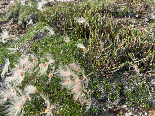
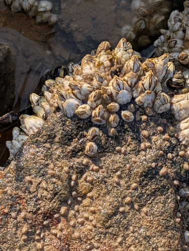
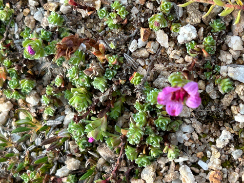
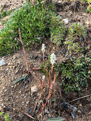
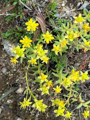
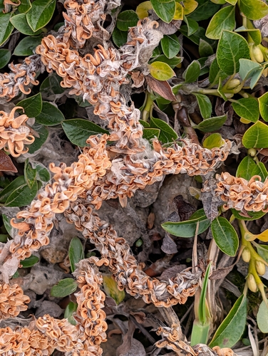
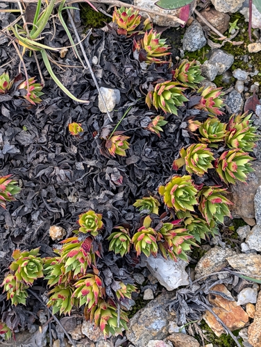
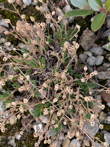
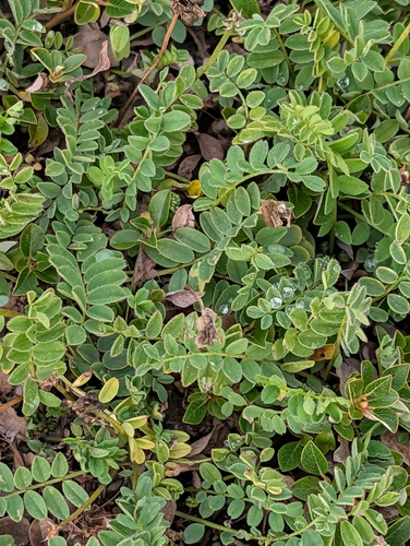
Research-grade observations from iNaturalist (within ~15 mi).
Events
Gallery
Official Identifiers
StatCan — Statistics Canada
- SGC code
- 6204005
- Population (Wikidata)
- 426
- Wikidata
- Q284160
Standard Geographical Classification (SGC) via Wikidata P3012
Sources
- • Open-Meteo (ERA5 reanalysis)
- • Wikidata
- • USGS Earthquake Catalog (global feed)
- • GBIF (Global Biodiversity Information Facility)
- • iNaturalist
- • Open-Meteo / sunrise-sunset.org
- • StatCan — Statistics Canada — Standard Geographical Classification (SGC) via Wikidata P3012