Browse / Canada / Nunavut / Pangniqtuuq
Pangniqtuuq
Nunavutvillage

Pangniqtuuq
Demographic figures from Statistics Canada. Overview below cites Wikipedia and may reference a different year.
City facts
Overview
Pangnirtung is an Inuit hamlet in the Qikiqtaaluk Region of the Canadian territory of Nunavut, located on Baffin Island. The community is located about 45 km (28 mi) south of the Arctic Circle, and about 2,700 km (1,700 mi) from the North Pole. Pangnirtung is situated on a coastal plain at the coast of Pangnirtung Fjord, a fjord which eventually merges with Cumberland Sound. As of October 2024, the mayor is Stevie Komoartok.
Read more on WikipediaHistory & geography
Geography
Coordinates & boundaries from the US Census TIGER/Line shapefiles.
Climate
Air quality
Walkability
Amenities nearby
Wildlife & biodiversity
Most-observed species
- Common RavenCorvus corax Linnaeus, 1758 · Aves3
- Snow BuntingPlectrophenax nivalis (Linnaeus, 1758) · Aves3
- Glaucous GullLarus hyperboreus Gunnerus, 1767 · Aves2
- White CottongrassEriophorum scheuchzeri Hoppe · Liliopsida2
- Arctic wintergreenPyrola grandiflora Radius · Magnoliopsida2
- Alpine BistortBistorta vivipara (L.) Delarbre · Magnoliopsida2
- Sea SandwortHonckenya peploides (L.) Ehrh. · Magnoliopsida2
- alpine fireweedChamaenerion latifolium (L.) Sweet · Magnoliopsida2
Citizen-science & research observations from the Global Biodiversity Information Facility (GBIF).
Earthquake history
Events from the USGS Earthquake Catalog (global) (FDSN Event Web Service).
Photos
Sights & places nearby
Notable people from here


People born within ~10 km, from Wikidata (CC0). Click any name for their Wikipedia article.
Nearby places in Nunavut
- ᐸᖕᓂᖅᑑᖅ Pangnirtung0.6 mi away · pop. 1,481
- Iglunga41.4 mi away
- ᕿᑭᖅᑕᕐᔪᐊᖅ Qikiqtarjuaq107.5 mi away · pop. 473
- Kekertuk109.3 mi away
- Cape Dyer124.9 mi away
- Kivitoo126.2 mi away
- Iqaluit ᐃᖃᓗᐃᑦ185.2 mi away · pop. 7,740
- ᓂᐊᖁᓐᖑᑦ185.5 mi away
- Amadjuak249.6 mi away
- ᑭᒻᒥᕈᑦ Kimmirut259.6 mi away · pop. 480
- ᑲᖏᖅᑐᒑᐱᒃ Clyde River307.8 mi away · pop. 900
- ᑭᙵᐃᑦ340.7 mi away · pop. 1,441
Geography & sun
Elevation, sunrise/sunset and daylight from Open-Meteo. Solar climatology from NASA POWER.
Nearby airports
Public attention
Pageview totals from the Wikimedia Pageviews API.
Books about this place
Recent natural events nearby
Ground air-quality sensors
Recently spotted species
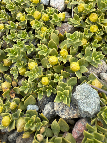
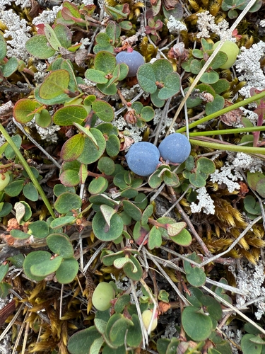
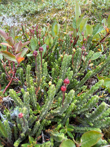
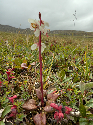
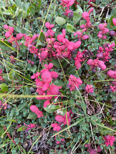
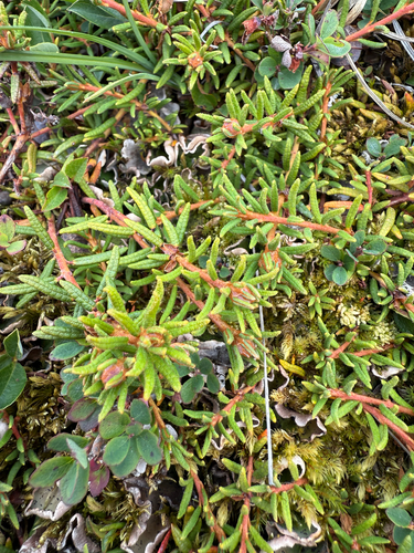
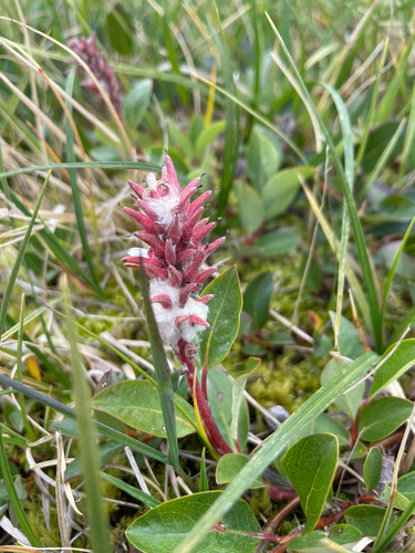
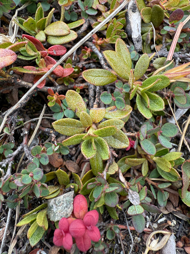
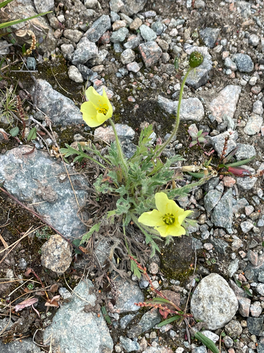
Research-grade observations from iNaturalist (within ~15 mi).
Events
Gallery
Sources
- • Wikipedia
- • Wikidata
- • USGS Earthquake Catalog (global feed)
- • GBIF (Global Biodiversity Information Facility)
- • iNaturalist
- • Open-Meteo / sunrise-sunset.org
- • Wikipedia Pageviews API