Browse / Canada / Nunavut / ᕿᑭᖅᑕᕐᔪᐊᖅ Qikiqtarjuaq
ᕿᑭᖅᑕᕐᔪᐊᖅ Qikiqtarjuaq
Nunavuttown
Total population
473
Demographic figures from Statistics Canada. Overview below cites Wikipedia and may reference a different year.
City facts
Overview
ᕿᑭᖅᑕᕐᔪᐊᖅ Qikiqtarjuaq, a small town in Nunavut, Canada, forms part of the country's settled landscape. Geographically it lies in the northern hemisphere at a polar latitude (67.558°, -64.017°). Census-style estimates put the resident count near 473. The latitude suggests extreme seasonal daylight swings and prolonged cold. Solar-resource estimates put the area at about 1,041 kWh/m² of solar irradiance per year with sunshine for roughly 41% of daylight hours. Further detail — demographics, climate, nearby amenities and natural-hazard data — is compiled below from public open-data sources.
Summary composed automatically from structured open data on this page. See our Terms for details.
History & geography
Geography
Coordinates & boundaries from the US Census TIGER/Line shapefiles.
Climate
Air quality
Walkability
Amenities nearby
Wildlife & biodiversity
Most-observed species
- Glaucous GullLarus hyperboreus Gunnerus, 1767 · Aves26
- Common RavenCorvus corax Linnaeus, 1758 · Aves25
- Red-throated LoonGavia stellata (Pontoppidan, 1763) · Aves15
- Bog BilberryVaccinium uliginosum L. · Magnoliopsida13
- Northern FulmarFulmarus glacialis (Linnaeus, 1761) · Aves12
- American PipitAnthus rubescens (Tunstall, 1771) · Aves12
- Black GuillemotCepphus grylle (Linnaeus, 1758) · Aves10
- Snow BuntingPlectrophenax nivalis (Linnaeus, 1758) · Aves8
Citizen-science & research observations from the Global Biodiversity Information Facility (GBIF).
Earthquake history
Most recent
- M 4.7 — 2021-10-29165 km N of Pangnirtung, Canada
- M 3.1 — 2006-04-13210 km N of Pangnirtung, Canada
Events from the USGS Earthquake Catalog (global) (FDSN Event Web Service).
Photos
Sights & places nearby
Notable people from here
Nearby places in Nunavut
- Kekertuk7.3 mi away
- Kivitoo35.9 mi away
- Cape Dyer94.1 mi away
- Pangniqtuuq107.5 mi away
- ᐸᖕᓂᖅᑑᖅ Pangnirtung107.8 mi away · pop. 1,481
- Iglunga123.1 mi away
- ᑲᖏᖅᑐᒑᐱᒃ Clyde River230.9 mi away · pop. 900
- Iqaluit ᐃᖃᓗᐃᑦ292.6 mi away · pop. 7,740
- ᓂᐊᖁᓐᖑᑦ292.9 mi away
- Amadjuak344.8 mi away
- ᑭᒻᒥᕈᑦ Kimmirut366.7 mi away · pop. 480
- ᑭᙵᐃᑦ420.4 mi away · pop. 1,441
Geography & sun
Elevation, sunrise/sunset and daylight from Open-Meteo. Solar climatology from NASA POWER.
Nearby airports
Public attention
Books about this place
Recent natural events nearby
Ground air-quality sensors
Recently spotted species
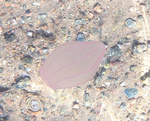
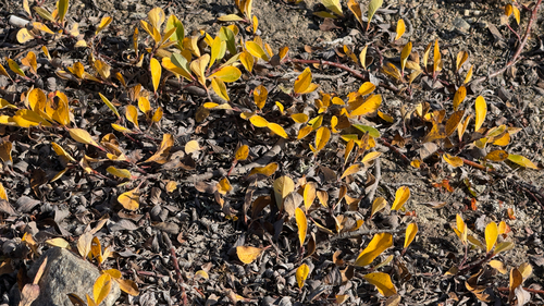
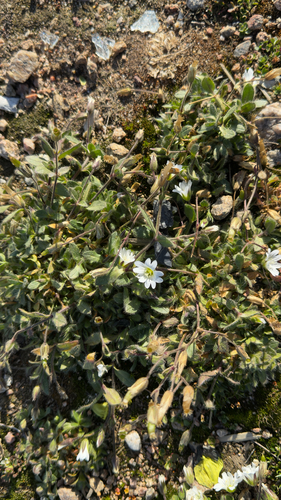
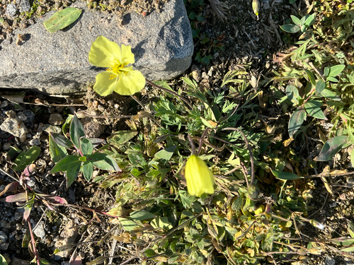
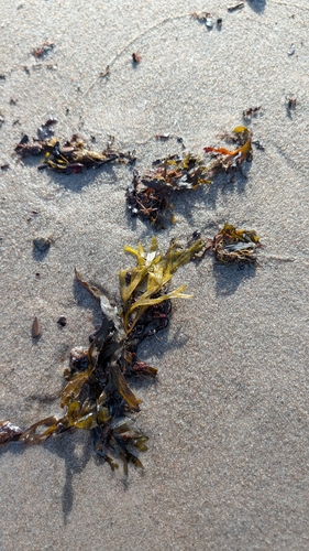
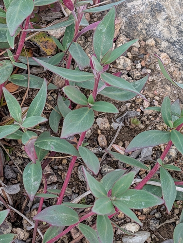
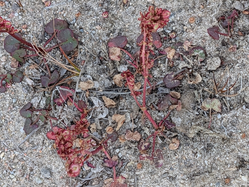
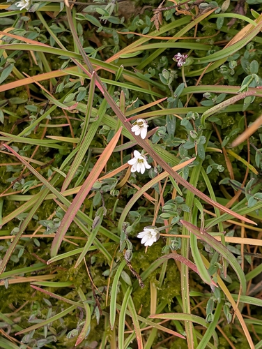
Research-grade observations from iNaturalist (within ~15 mi).
Events
Gallery
Official Identifiers
StatCan — Statistics Canada
- SGC code
- 6204010
- Wikidata
- Q1370641
Standard Geographical Classification (SGC) via Wikidata P3012
Sources
- • Wikidata
- • USGS Earthquake Catalog (global feed)
- • GBIF (Global Biodiversity Information Facility)
- • iNaturalist
- • Open-Meteo / sunrise-sunset.org
- • StatCan — Statistics Canada — Standard Geographical Classification (SGC) via Wikidata P3012