Browse / Canada / Nunavut / ᑲᖏᖅᑐᒑᐱᒃ Clyde River
ᑲᖏᖅᑐᒑᐱᒃ Clyde River
Nunavuttown

ᑲᖏᖅᑐᒑᐱᒃ Clyde River
Total population
900
Demographic figures from Statistics Canada. Overview below cites Wikipedia and may reference a different year.
City facts
Overview
Clyde River is an Inuit hamlet located on the shore of Baffin Island's Patricia Bay, off Kangiqtugaapik, an arm of Davis Strait in the Qikiqtaaluk Region of Nunavut, Canada. It lies in the Baffin Mountains which in turn form part of the Arctic Cordillera mountain range. The community is served by air and by annual supply sealift.
Read more on WikipediaHistory & geography
Geography
It is located on a flood plain, surrounded by fjords that stretch all the way into the Barnes Ice Cap. The mountains, icebergs and glaciers in the Clyde River area attract rock and ice climbers from around the world. There is also a multitude of animals to be seen, including barren-ground caribou, narwhals, polar bears and other sea mammals. The proposed "Igaliqtuuq National Wildlife Area", which would be a protected bowhead whale sanctuary, is located in Isabella Bay. Clyde River is home to Piqqusilirivvik, Nunavut's Inuit Cultural Learning Centre. Piqqusilirivvik opened its doors May 2011. Clyde River has a tundra climate (ET) with short but cool summers and long cold winters.
Excerpted from the corresponding Wikipedia article (CC BY-SA).
Geography
Coordinates & boundaries from the US Census TIGER/Line shapefiles.
Climate
Air quality
Walkability
Amenities nearby
Wildlife & biodiversity
Most-observed species
- Common RavenCorvus corax Linnaeus, 1758 · Aves4
- Glaucous GullLarus hyperboreus Gunnerus, 1767 · Aves2
- Snow BuntingPlectrophenax nivalis (Linnaeus, 1758) · Aves2
- Horned LarkEremophila alpestris (Linnaeus, 1758) · Aves2
- Semipalmated PloverCharadrius semipalmatus Bonaparte, 1825 · Aves1
- Semipalmated SandpiperCalidris pusilla (Linnaeus, 1766) · Aves1
- WhimbrelNumenius phaeopus (Linnaeus, 1758) · Aves1
- Lapland LongspurCalcarius lapponicus (Linnaeus, 1758) · Aves1
Citizen-science & research observations from the Global Biodiversity Information Facility (GBIF).
Earthquake history
Most recent
- M 4.4 — 2009-07-2121 km NE of Clyde River, Canada
Events from the USGS Earthquake Catalog (global) (FDSN Event Web Service).
Photos
Sights & places nearby
Notable people from here
People born within ~10 km, from Wikidata (CC0). Click any name for their Wikipedia article.
Nearby places in Nunavut
- Kivitoo196.2 mi away
- ᕿᑭᖅᑕᕐᔪᐊᖅ Qikiqtarjuaq230.9 mi away · pop. 473
- Kekertuk235.7 mi away
- Mary River248.6 mi away
- ᒥᑦᑎᒪᑕᓕᒃ Pond Inlet255.3 mi away · pop. 1,617
- Milne Inlet290.5 mi away
- Iglunga293 mi away
- ᐸᖕᓂᖅᑑᖅ Pangnirtung307.7 mi away · pop. 1,481
- Pangniqtuuq307.8 mi away
- Cape Dyer319.6 mi away
- ᐃᒡᓗᓕᒃ Igloolik321.5 mi away · pop. 2,000
- ᓴᓂᕋᔭᒃ Sanirajak325 mi away · pop. 848
Geography & sun
Elevation, sunrise/sunset and daylight from Open-Meteo. Solar climatology from NASA POWER.
Nearby airports
Public attention
Pageview totals from the Wikimedia Pageviews API.
Books about this place
Recent natural events nearby
Ground air-quality sensors
Recently spotted species
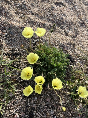
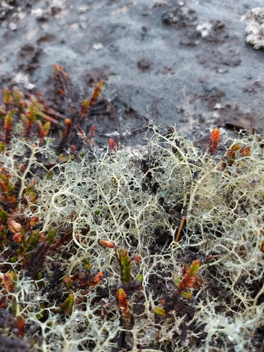
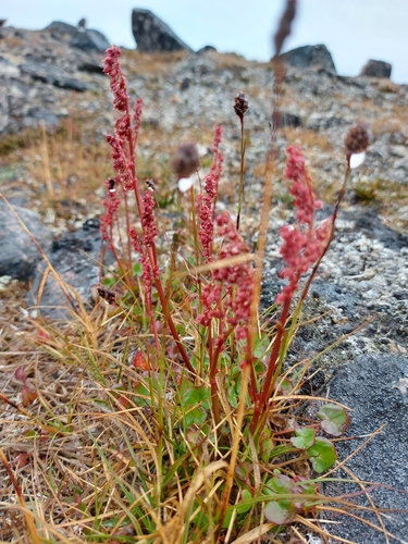
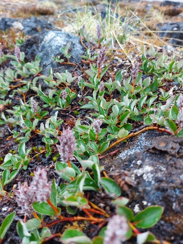
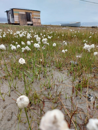
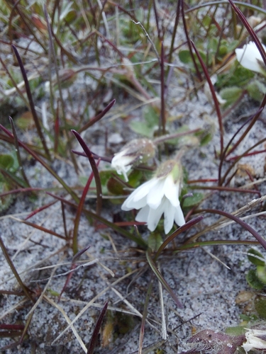
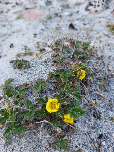
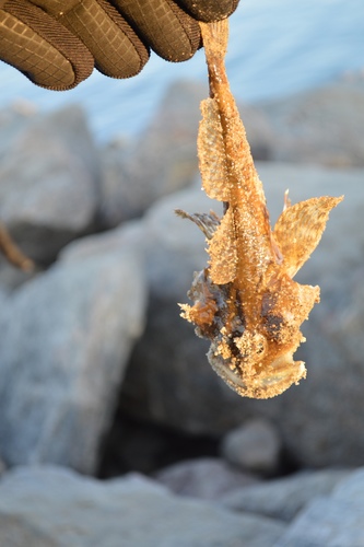
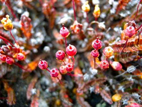
Research-grade observations from iNaturalist (within ~15 mi).
Events
Gallery
Sources
- • Wikipedia
- • Wikidata
- • USGS Earthquake Catalog (global feed)
- • GBIF (Global Biodiversity Information Facility)
- • iNaturalist
- • Open-Meteo / sunrise-sunset.org
- • Wikipedia Pageviews API