Browse / Canada / Nunavut / ᐃᒡᓗᓕᒃ Igloolik
ᐃᒡᓗᓕᒃ Igloolik
Nunavuttown

ᐃᒡᓗᓕᒃ Igloolik
Total population
2,000
Air quality index
Demographic figures from Statistics Canada. Overview below cites Wikipedia and may reference a different year.
City facts
Facts from Wikidata (CC0).
Overview
Igloolik is an Inuit hamlet in Foxe Basin, Qikiqtaaluk Region in Nunavut, northern Canada. Because its location on Igloolik Island is close to Melville Peninsula, it is often mistakenly thought to be on the peninsula. The name "Igloolik" means "there is a house here". It derives from iglu meaning house or building, and refers to the sod houses that were originally in the area, not to snow igloos. In Inuktitut the residents are called Iglulingmiut.
Read more on WikipediaHistory & geography
History
Information about the area's earliest inhabitants comes mainly from numerous archaeological sites on the island; some dating back more than 4,000 years. First contact with Europeans came when the British Royal Navy ships HMS Fury and HMS Hecla, under the command of Captain William Edward Parry, wintered in Igloolik in 1822. The island was visited in 1867 and 1868 by the American explorer Charles Francis Hall in his search for survivors of the lost Franklin Expedition. In 1913, Alfred Tremblay, a French-Canadian prospector with Captain Joseph-Elzéar Bernier's expedition to Pond Inlet, extended his mineral exploration overland to Igloolik, and in 1921 a member of Knud Rasmussen's Fifth Thule Expedition visited the island. The first permanent presence by southerners in Igloolik came with the establishment of a Roman Catholic Mission in the 1930s. By the end of the decade, the Hudson's Bay Company had also set up a post on the island. Non-indigenous establishments, such as Royal Canadian Mounted Police (RCMP) stations, day schools, and clinics, were here before they came to be in surrounding communities. The Igloolik Research Centre focuses on documenting Inuit traditional knowledge and technology, as well as climatology and seismic data research.
Excerpted from the corresponding Wikipedia article (CC BY-SA).
Geography
Coordinates & boundaries from the US Census TIGER/Line shapefiles.
Climate
Air quality
Current readings from Open-Meteo Air Quality API (Copernicus CAMS European reanalysis).
Walkability
Amenities nearby
Wildlife & biodiversity
Most-observed species
- Glaucous GullLarus hyperboreus Gunnerus, 1767 · Aves2
- American PipitAnthus rubescens (Tunstall, 1771) · Aves1
- Long-tailed DuckClangula hyemalis (Linnaeus, 1758) · Aves1
- nodding saxifrageSaxifraga cernua L. · Magnoliopsida1
- American herring gull, Smithsonian GullLarus smithsonianus Coues, 1862 · Aves1
Citizen-science & research observations from the Global Biodiversity Information Facility (GBIF).
Earthquake history
Events from the USGS Earthquake Catalog (global) (FDSN Event Web Service).
Photos
Sights & places nearby
Notable people from here
Nearby places in Nunavut
- ᓴᓂᕋᔭᒃ Sanirajak42.7 mi away · pop. 848
- Saputit128.2 mi away
- Mary River145.8 mi away
- Shimik153.6 mi away
- Milne Inlet174.3 mi away
- ᑰᒑᕐᔪᒃ Kugaaruk207.1 mi away · pop. 500
- ᓇᐅᔮᑦ Naujaat228.1 mi away · pop. 1,082
- Repulse Bay228.2 mi away
- ᒥᑦᑎᒪᑕᓕᒃ Pond Inlet244.8 mi away · pop. 1,617
- ᐃᒃᐱᐊᕐᔪᒃ Arctic Bay263.3 mi away · pop. 690
- ᑕᓗᕐᔪᐊᕐᒃ Taloyoak284.4 mi away · pop. 500
- ᑲᖏᖅᑐᒑᐱᒃ Clyde River321.5 mi away · pop. 900
Geography & sun
Elevation, sunrise/sunset and daylight from Open-Meteo. Solar climatology from NASA POWER.
Nearby airports
Public attention
Pageview totals from the Wikimedia Pageviews API.
Books about this place
Recent natural events nearby
Ground air-quality sensors
Recently spotted species
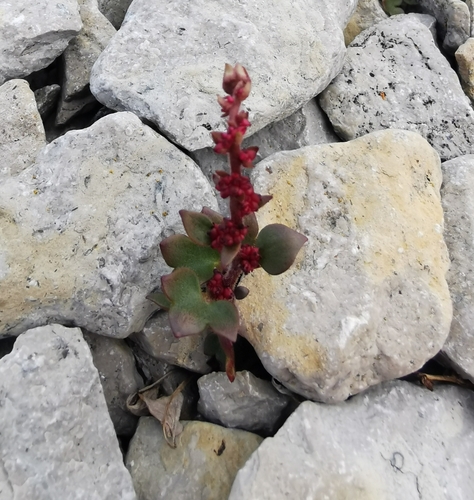
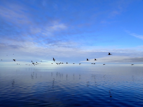
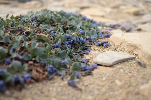
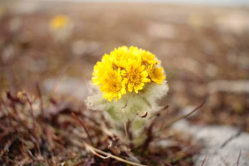
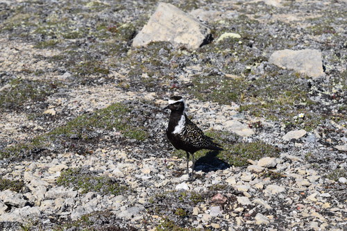
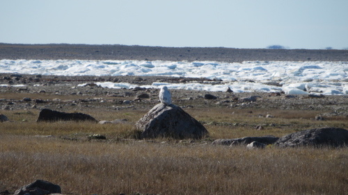
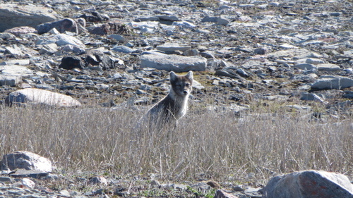
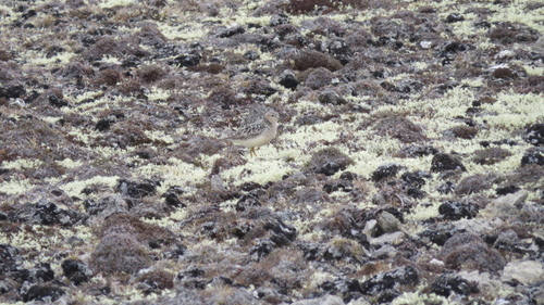
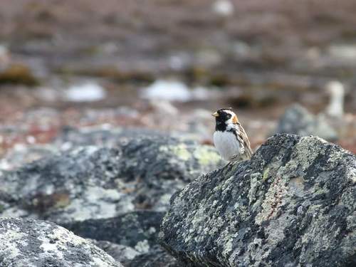
Research-grade observations from iNaturalist (within ~15 mi).
Events
Gallery
Official Identifiers
StatCan — Statistics Canada
- SGC code
- 6204012
- Population (Wikidata)
- 2,049
- Wikidata
- Q999339
Standard Geographical Classification (SGC) via Wikidata P3012
Sources
- • Wikipedia
- • Wikidata
- • Open-Meteo Air Quality (CAMS)
- • USGS Earthquake Catalog (global feed)
- • GBIF (Global Biodiversity Information Facility)
- • iNaturalist
- • Open-Meteo / sunrise-sunset.org
- • Wikipedia Pageviews API
- • StatCan — Statistics Canada — Standard Geographical Classification (SGC) via Wikidata P3012