Browse / Canada / Nunavut / ᓇᐅᔮᑦ Naujaat
ᓇᐅᔮᑦ Naujaat
Nunavuttown

ᓇᐅᔮᑦ Naujaat
Total population
1,082
Demographic figures from Statistics Canada. Overview below cites Wikipedia and may reference a different year.
City facts
Facts from Wikidata (CC0).
Overview
Naujaat, officially known until 2 July 2015 as Repulse Bay, is an Inuit hamlet situated on the Arctic Circle. It is located on the shores of Hudson Bay, at the south end of the Melville Peninsula, in the Kivalliq Region of Nunavut, Canada.
Read more on WikipediaHistory & geography
History
Naujaat is translated into English variously as "seagull fledgling," "seagull resting place" or "seagulls' nesting place," named after a cliff to the north, where seagulls, migrating from the south each June, make their nests. Naujaat was first visited by Europeans in the 1740s, and by the late 1800s it became a popular whaling ground for American and Scottish whalers. Many Naujaat Inuit residents worked on board these whaling vessels from the south. Although there are various theories as to the origin of the English name "Repulse Bay," many attribute the name to Christopher Middleton, who when searching for the Northwest Passage in 1742 discovered that the bay was not a route out of Hudson Bay, but rather a cul-de-sac. He is claimed to have called it the "Bay of Repulse, the bay where I was pushed away". Others believe that the name comes from an 18th-century English vessel named Repulse (1759) which visited the area. The Hudson's Bay Company opened a post in Naujaat about 1916, and in 1923, a rival fur trading company, Revillon Frères, opened a post. A Roman Catholic Mission was built in 1932. Naujaat was formerly part of the District of Keewatin and the Keewatin Region; in 1999, the area became part of the Kivalliq Region. On 12 May 2014, a by-election was held to elect a new mayor, which was won by Solomon Malliki. At the same time, a non-binding plebiscite was held to gauge how the community felt about restoring the traditional name, Naujaat. With voter turnout at 36%, there were 82 people in favour and 73 opposed to the name change. The name was officially changed on 2 July 2015.
Excerpted from the corresponding Wikipedia article (CC BY-SA).
Geography
Coordinates & boundaries from the US Census TIGER/Line shapefiles.
Climate
Air quality
Walkability
Amenities nearby
Wildlife & biodiversity
Most-observed species
- Red-throated LoonGavia stellata (Pontoppidan, 1763) · Aves2
- Semipalmated PloverCharadrius semipalmatus Bonaparte, 1825 · Aves1
- Rough-legged HawkButeo lagopus (Pontoppidan, 1763) · Aves1
- Glaucous-winged GullLarus glaucescens J.F.Naumann, 1840 · Aves1
- Black-legged KittiwakeRissa tridactyla (Linnaeus, 1758) · Aves1
- Sabine's GullXema sabini (Sabine, 1819) · Aves1
- Common RavenCorvus corax Linnaeus, 1758 · Aves1
- American PipitAnthus rubescens (Tunstall, 1771) · Aves1
Citizen-science & research observations from the Global Biodiversity Information Facility (GBIF).
Earthquake history
Most recent
- M 4.2 — 2016-10-30Melville Peninsula, Nunavut, Canada
Events from the USGS Earthquake Catalog (global) (FDSN Event Web Service).
Photos
Sights & places nearby
Notable people from here
People born within ~10 km, from Wikidata (CC0). Click any name for their Wikipedia article.
Nearby places in Nunavut
- Repulse Bay0.2 mi away
- Wager Bay134.1 mi away
- ᑰᒑᕐᔪᒃ Kugaaruk167.8 mi away · pop. 500
- ᓴᓪᓕᖅ Coral Harbour187.3 mi away · pop. 834
- ᓴᓂᕋᔭᒃ Sanirajak204 mi away · pop. 848
- ᐃᒡᓗᓕᒃ Igloolik228.1 mi away · pop. 2,000
- ᐃᒡᓗᓕᒑᕐᔪᒃ Chesterfield Inlet256.1 mi away · pop. 360
- ᑕᓗᕐᔪᐊᕐᒃ Taloyoak280.4 mi away · pop. 500
- ᐅᖅᓱᖅᑑᖅ Gjoa Haven292.1 mi away · pop. 900
- Saputit306.6 mi away
- ᑲᖏᕿᓂᖅ Rankin Inlet309.8 mi away · pop. 2,577
- ᖃᒪᓂᑦᑐᐊᖅ Baker Lake319.5 mi away
Geography & sun
Elevation, sunrise/sunset and daylight from Open-Meteo. Solar climatology from NASA POWER.
Nearby airports
Public attention
Pageview totals from the Wikimedia Pageviews API.
Books about this place
Recent natural events nearby
Ground air-quality sensors
Recently spotted species
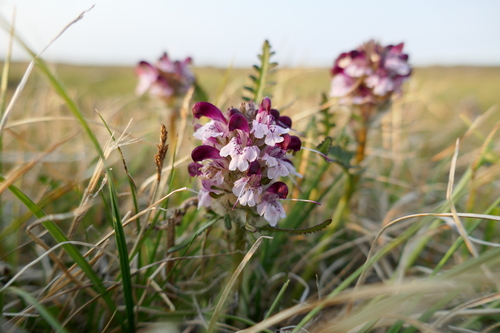
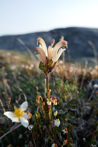
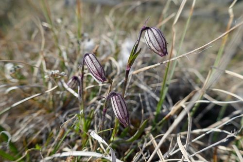
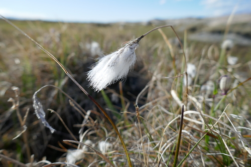
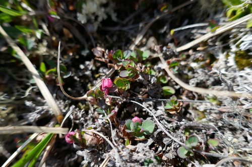
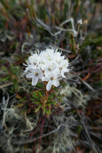
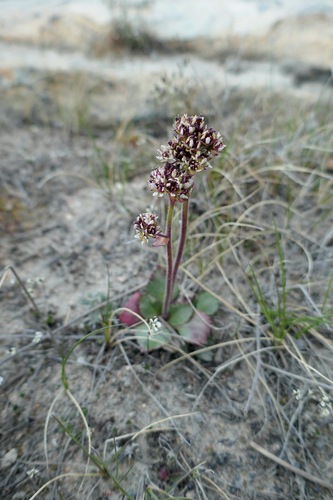
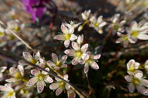
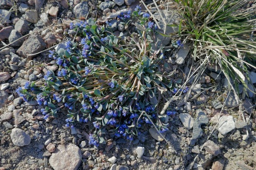
Research-grade observations from iNaturalist (within ~15 mi).
Events
Gallery
Official Identifiers
StatCan — Statistics Canada
- SGC code
- 6205027
- Population (Wikidata)
- 1,082
- Wikidata
- Q1723761
Standard Geographical Classification (SGC) via Wikidata P3012
Sources
- • Wikipedia
- • Wikidata
- • USGS Earthquake Catalog (global feed)
- • GBIF (Global Biodiversity Information Facility)
- • iNaturalist
- • Open-Meteo / sunrise-sunset.org
- • Wikipedia Pageviews API
- • StatCan — Statistics Canada — Standard Geographical Classification (SGC) via Wikidata P3012