Browse / Canada / Nunavut / ᓴᓂᕋᔭᒃ Sanirajak
ᓴᓂᕋᔭᒃ Sanirajak
Nunavuttown
Total population
848
Air quality index
Demographic figures from Statistics Canada. Overview below cites Wikipedia and may reference a different year.
City facts
Overview
Found in Nunavut, Canada, ᓴᓂᕋᔭᒃ Sanirajak is classified as a small town in public datasets. Recent open-data figures place its population at about 848. ᓴᓂᕋᔭᒃ Sanirajak maps to 68.793°, -81.244° — squarely within the polar belt. The latitude suggests extreme seasonal daylight swings and prolonged cold. The location receives about 922 kWh/m² of solar irradiance per year and sunshine for roughly 36% of daylight hours. Additional figures on demographics, climate, geography and points of interest appear in the sections that follow, all drawn from open public datasets.
Summary composed automatically from structured open data on this page. See our Terms for details.
History & geography
Geography
Coordinates & boundaries from the US Census TIGER/Line shapefiles.
Climate
Air quality
Current readings from Open-Meteo Air Quality API (Copernicus CAMS European reanalysis).
Walkability
Amenities nearby
Wildlife & biodiversity
Most-observed species
- Snow BuntingPlectrophenax nivalis (Linnaeus, 1758) · Aves15
- Glaucous GullLarus hyperboreus Gunnerus, 1767 · Aves9
- Semipalmated PloverCharadrius semipalmatus Bonaparte, 1825 · Aves8
- Sabine's GullXema sabini (Sabine, 1819) · Aves8
- Snow/Ross's GooseAnser caerulescens (Linnaeus, 1758) · Aves8
- BrantBranta bernicla (Linnaeus, 1758) · Aves8
- Semipalmated SandpiperCalidris pusilla (Linnaeus, 1766) · Aves6
- Red-throated LoonGavia stellata (Pontoppidan, 1763) · Aves6
Citizen-science & research observations from the Global Biodiversity Information Facility (GBIF).
Earthquake history
Events from the USGS Earthquake Catalog (global) (FDSN Event Web Service).
Photos
Sights & places nearby
Notable people from here
People born within ~10 km, from Wikidata (CC0). Click any name for their Wikipedia article.
Nearby places in Nunavut
- ᐃᒡᓗᓕᒃ Igloolik42.7 mi away · pop. 2,000
- Saputit170.1 mi away
- Mary River180.2 mi away
- Shimik196 mi away
- ᓇᐅᔮᑦ Naujaat204 mi away · pop. 1,082
- Repulse Bay204.1 mi away
- Milne Inlet213.7 mi away
- ᑰᒑᕐᔪᒃ Kugaaruk216 mi away · pop. 500
- ᒥᑦᑎᒪᑕᓕᒃ Pond Inlet279.9 mi away · pop. 1,617
- ᑕᓗᕐᔪᐊᕐᒃ Taloyoak305.9 mi away · pop. 500
- ᐃᒃᐱᐊᕐᔪᒃ Arctic Bay305.9 mi away · pop. 690
- Wager Bay321.7 mi away
Geography & sun
Elevation, sunrise/sunset and daylight from Open-Meteo. Solar climatology from NASA POWER.
Nearby airports
Public attention
Books about this place
Recent natural events nearby
Ground air-quality sensors
Recently spotted species
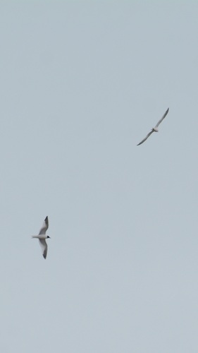
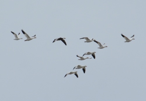
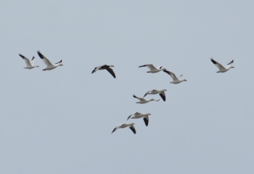
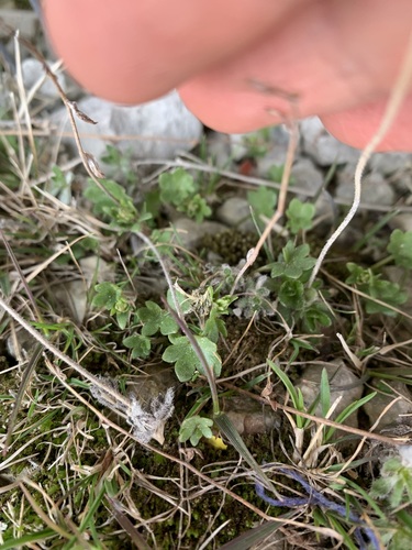
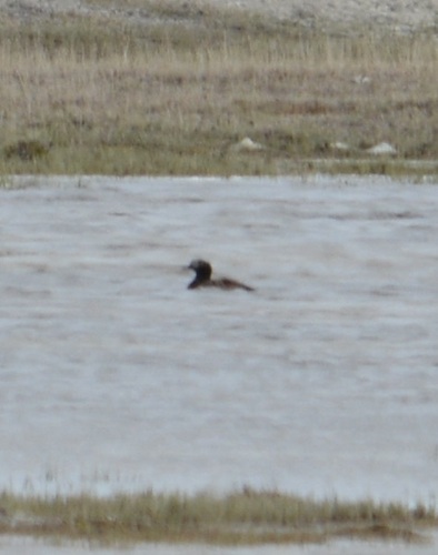
Research-grade observations from iNaturalist (within ~15 mi).
Events
Gallery
Official Identifiers
StatCan — Statistics Canada
- SGC code
- 6204011
- Population (Wikidata)
- 891
- Wikidata
- Q1571291
Standard Geographical Classification (SGC) via Wikidata P3012
Sources
- • Wikidata
- • Open-Meteo Air Quality (CAMS)
- • USGS Earthquake Catalog (global feed)
- • GBIF (Global Biodiversity Information Facility)
- • iNaturalist
- • Open-Elevation
- • Open-Meteo / sunrise-sunset.org
- • StatCan — Statistics Canada — Standard Geographical Classification (SGC) via Wikidata P3012