Browse / Canada / Alberta / Lacombe
Lacombe
Albertacity

Lacombe
Total population
13,057
Demographic figures from Statistics Canada. Overview below cites Wikipedia and may reference a different year.
City facts
Sister cities
Facts from Wikidata (CC0).
Overview
Lacombe is a city in central Alberta, Canada. It is located approximately 25 kilometres (16 mi) north of Red Deer, the nearest major city, and 125 kilometres (78 mi) south of Edmonton, the nearest metropolitan area. The city is set in the rolling parkland of central Alberta, between the Rocky Mountains foothills to the west and the flatter Alberta prairie to the east.
Read more on WikipediaHistory & geography
History
Lacombe is named after Albert Lacombe (28 February 1827 — 12 December 1916), a French-Canadian Roman Catholic Oblate missionary who lived among and evangelized the Cree and Blackfoot First Nations of western Canada. He is now remembered for having brokered a peace between the Cree and Blackfoot, negotiating construction of the Canadian Pacific Railway through Blackfoot territory, and securing a promise from the Blackfoot leader Crowfoot to refrain from joining the North-West Rebellion of 1885. The Lacombe Police Service have policed the community since 1900. The first permanent settler, Ed Barnett, arrived in 1883. Barnett was a retired member of the North-West Mounted Police (NWMP) who had served a mere three years. He left Fort Macleod in August 1881 at 23 years of age. According to his own diary and his official obituary in the RCMP Quarterly, spring 1940, on July 19, 1881, Barnett was among a small NWMP party that escorted Chief Sitting Bull and his people to the Canada–US border. Along the Calgary and Edmonton Trail, he established a "stopping house" for travellers on a land grant given to him for serving in the NWMP. His family and friends moved out of Ontario and the community began to grow. The stopping house then became known as Barnett's Siding. The Calgary and Edmonton Railway reached the area in 1891. This provided better access to the area and new opportunities for settlement. By 1893, the downtown blocks and lots were surveyed. Village status was granted in 1896, and town status in 1902. The President of the C.P.R., William Van Horne, renamed Barnett's Siding to Lacombe in honour of Father Lacombe.
Geography
Lacombe experiences a humid continental climate (Köppen climate classification Dfb).
Excerpted from the corresponding Wikipedia article (CC BY-SA).
Geography
Coordinates & boundaries from the US Census TIGER/Line shapefiles.
Climate
Air quality
Walkability
Amenities nearby
Wildlife & biodiversity
Earthquake history
Photos
Sights & places nearby
Notable people from here


People born within ~10 km, from Wikidata (CC0). Click any name for their Wikipedia article.
Nearby places in Alberta
- Blackfalds6.8 mi away
- Bentley Hutterite Colony11.8 mi away
- Bentley13.4 mi away
- Sylvan Lake19 mi away
- Norglenwold19.3 mi away
- Sunbreaker Cove20.3 mi away
- Alix Hutterite Colony26.4 mi away
- Pine Hill Hutterite Colony26.6 mi away
- ᒪᐢᑿᒌᐢ Maskwacis27.7 mi away
- Hartland Hutterite Colony28.6 mi away
- Bluffton30.3 mi away
- Leedale Hutterite Colony31.1 mi away
Geography & sun
Elevation, sunrise/sunset and daylight from Open-Meteo. Solar climatology from NASA POWER.
Nearby airports
Public attention
Pageview totals from the Wikimedia Pageviews API.
Books about Lacombe


Search results from Open Library.
Recent natural events nearby
Ground air-quality sensors
Recently spotted species
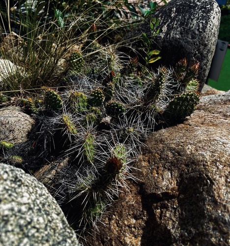
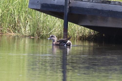
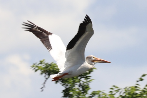
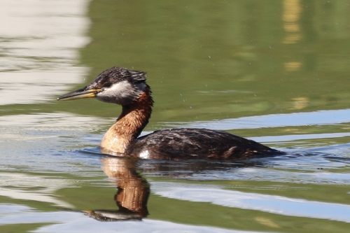
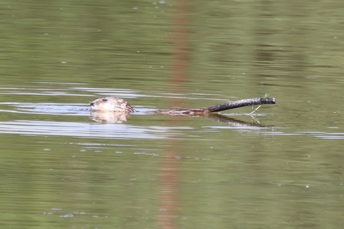
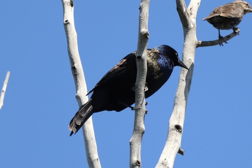
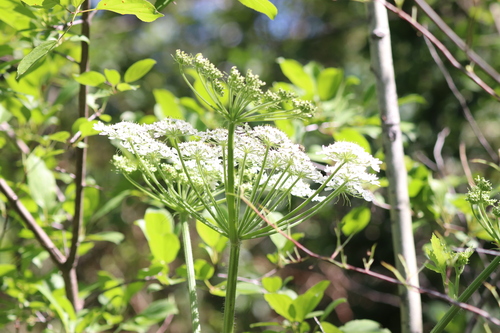
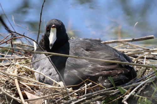
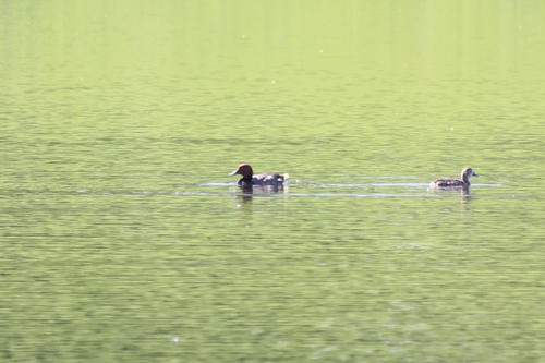
Research-grade observations from iNaturalist (within ~15 mi).
Events
Gallery
Official Identifiers
StatCan — Statistics Canada
- SGC code
- 4808031
- Population (Wikidata)
- 13,057
- Wikidata
- Q1743833
Standard Geographical Classification (SGC) via Wikidata P3012
Sources
- • Wikipedia
- • Wikidata
- • iNaturalist
- • Open-Meteo / sunrise-sunset.org
- • Wikipedia Pageviews API
- • Open Library
- • StatCan — Statistics Canada — Standard Geographical Classification (SGC) via Wikidata P3012