Browse / United States / California / Lake Isabella
Lake Isabella
CaliforniaCDP

Lake Isabella
Total population
4,059
Median home value
$132,900
Bachelor's+
Median income
$26,661
Demographic figures from US Census Bureau · ACS 5-year estimates. Overview below cites Wikipedia and may reference a different year.
City facts
Facts from Wikidata (CC0).
Overview
Lake Isabella is a census-designated place (CDP) in the southern Sierra Nevada, in Kern County, California, United States. It is named after the Lake Isabella reservoir and located at the lake’s southwestern edge, 6 miles (9.7 km) south of Wofford Heights in the Kern River Valley.
Read more on WikipediaHistory & geography
History
The area was inhabited for millennia by the indigenous Tübatulabal and Owens Valley Paiute. Gold was discovered nearby in 1853, leading to a gold rush and the founding of Keyesville. The 1863 Keyesville massacre occurred a few miles north. The town of Isabella was founded by Steven Barton in 1893 and named in honor of Queen Isabella of Spain while her name was popular during the 1893 Columbian Exposition. Lake Isabella was created in 1953 by a dam on the Kern River, forcing the town to move about south of the original site. The Isabella post office, which had opened in 1896, operated at the new site; the name was changed to Lake Isabella in 1957. The dam's reservoir also inundated the original site of Kernville. Like Isabella, it was relocated, along with several of its historic buildings, to higher ground. The area is a joy for hikers, boaters, water skiers, fishermen, birders, hunters, wind surfers, kayakers, and other outdoor recreationists. Tourist trade is a major part of the area's economy.
Geography
Lake Isabella is located in Hot Springs Valley, part of the Kern River Valley, at . According to the United States Census Bureau, the CDP has a total area of , over 98% of it land. Lake Isabella is at the confluence of the North and South Forks of the Kern River. These rivers are 'wild', in that they are not controlled by any dam upstream. Upstream on the North Fork white water enthusiasts play in the spring and early summer. The famous Golden Trout originate in these rivers in the high country to the north.
Excerpted from the corresponding Wikipedia article (CC BY-SA).
Demographics & economy
Race & ethnicity
Source: US Census Bureau — American Community Survey, 5-year estimates.
Geography
Coordinates & boundaries from the US Census TIGER/Line shapefiles.
Climate
Air quality
Industrial & pollution facilities
Natural hazard risk
Health (adults)
Walkability
Amenities nearby
Wildlife & biodiversity
Schools
Earthquake history
Photos
Sights & places nearby
Notable people from here
Nearby places in California
- Bodfish4.4 mi away
- Mountain Mesa4.4 mi away
- Alta Sierra7.1 mi away
- Kernville8.6 mi away · pop. 857
- Glennville14.4 mi away
- California Hot Springs19.8 mi away
- Kennedy Meadows33 mi away
- Golden Hills34.6 mi away
- Cottonwood34.7 mi away · pop. 3,107
- Casa Loma35.4 mi away
- Lamont35.4 mi away · pop. 13,164
- Arvin36.3 mi away · pop. 19,539
Geography & sun
Elevation, sunrise/sunset and daylight from Open-Meteo. Solar climatology from NASA POWER.
Nearby airports
Public attention
Pageview totals from the Wikimedia Pageviews API.
Books about Lake Isabella


Search results from Open Library.
Recent natural events nearby
- Wildfire FISH, Kern, CaliforniaWildfires · 2026-07-27 · 26 mi
- Wildfire BUZZARD, Kern, CaliforniaWildfires · 2026-08-05 · 57 mi
- Wildfire RIDGE, Los Angeles, CaliforniaWildfires · 2026-08-07 · 62 mi
- Prescribed Fire CRAWFORD CORRAL RX, Tulare, CaliforniaWildfires · 2026-09-19 · 72 mi
- Wildfire PLAINS, San Luis Obispo, CaliforniaWildfires · 2026-08-12 · 87 mi
- Wildfire DOME, Mariposa, CaliforniaWildfires · 2026-09-15 · 147 mi
- Wildfire Plaskett, Monterey, CaliforniaWildfires · 2026-08-26 · 165 mi
- Wildfire Timber, Monterey, CaliforniaWildfires · 2026-08-09 · 185 mi
Wildfires, storms and other events from NASA EONET (last 12 months, within 250 mi).
Ground air-quality sensors
Recently spotted species
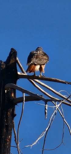
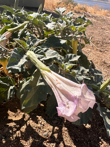
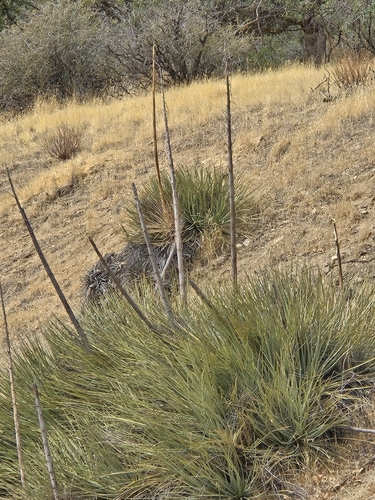
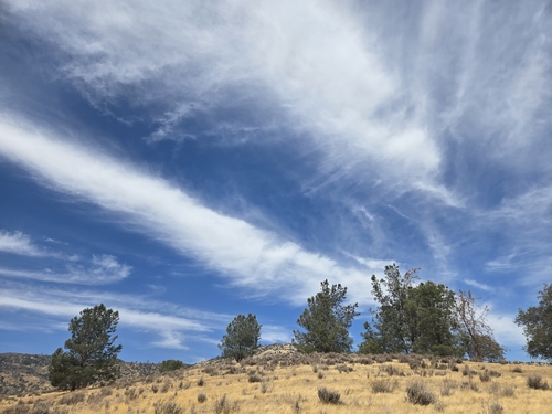
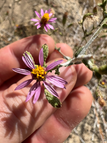
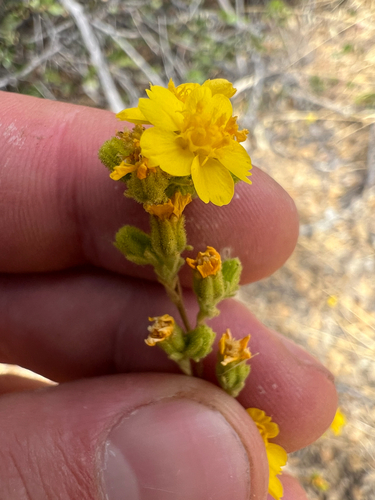
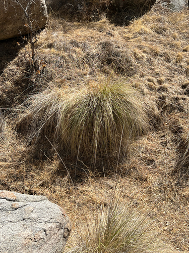
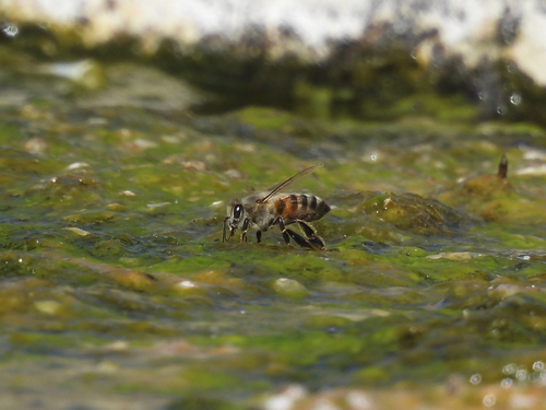
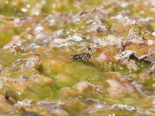
Research-grade observations from iNaturalist (within ~15 mi).
Nearest stream gauge
Events
Gallery
Sources
- • Wikipedia
- • US Census Bureau (ACS 5-year estimates)
- • Wikidata
- • iNaturalist
- • Open-Meteo / sunrise-sunset.org
- • Wikipedia Pageviews API
- • Open Library
- • NASA EONET