Browse / United States / California / Larkfield-Wikiup
Larkfield-Wikiup
CaliforniaCDP

Larkfield-Wikiup
Total population
8,765
Median home value
$704,700
Bachelor's+
Median income
$97,071
Demographic figures from US Census Bureau · ACS 5-year estimates. Overview below cites Wikipedia and may reference a different year.
- Coastal Flood Advisory · MinorCoastal Flood Advisory issued October 1 at 12:20PM PDT until October 2 at 6:00PM PDT by NWS San Francisco CA
Source: NOAA National Weather Service.
City facts
Facts from Wikidata (CC0).
Overview
Larkfield-Wikiup is a census-designated place, unincorporated area in Sonoma County, California, United States. The population was 8,492 at the 2020 census, down from 8,884 at the 2010 census. It comprises the Mark West area between Santa Rosa, Windsor (north), Calistoga (east), and Fulton (west). There are at least four schools within the limits of the CDP, including Cardinal Newman High School, John B. Riebli Elementary School, Mark West Elementary, and San Miguel Elementary schools.
Read more on WikipediaHistory & geography
Geography
Larkfield-Wikiup is located approximately north of the city of Santa Rosa. The CDP has a total area of , all land. Nevertheless, the Mark West Creek's seasonal flows pass directly through this region. As of 2005, the landscape is made up of housing developments, interspersed with vineyards, farms, and light industry.
Excerpted from the corresponding Wikipedia article (CC BY-SA).
Demographics & economy
Race & ethnicity
Source: US Census Bureau — American Community Survey, 5-year estimates.
Geography
Coordinates & boundaries from the US Census TIGER/Line shapefiles.
Climate
Current forecast
Forecast for Larkfield-Wikiup, CA from NOAA NWS API.
Air quality
Industrial & pollution facilities
Natural hazard risk
Health (adults)
Age-adjusted prevalence estimates from CDC PLACES (latest release).
Walkability
Amenities nearby
Wildlife & biodiversity
Most-observed species
- California TowheeMelozone crissalis (Vigors, 1839) · Aves16,794
- American CrowCorvus brachyrhynchos C.L.Brehm, 1822 · Aves16,514
- Oak TitmouseBaeolophus inornatus (Gambel, 1845) · Aves16,303
- California/Woodhouse's Scrub-JayAphelocoma californica (Vigors, 1839) · Aves16,007
- House FinchHaemorhous mexicanus (P.L.Statius Müller, 1776) · Aves15,746
- Anna's HummingbirdCalypte anna (R.Lesson, 1829) · Aves15,470
- Turkey VultureCathartes aura (Linnaeus, 1758) · Aves14,574
- Dark-eyed JuncoJunco hyemalis (Linnaeus, 1758) · Aves13,645
Citizen-science & research observations from the Global Biodiversity Information Facility (GBIF).
Schools
Largest nearby schools
- Santa Rosa HighHigh · Santa Rosa · 1,682 students · 19.1:1 ratio
- Windsor HighHigh · Windsor · 1,603 students · 19.8:1 ratio
- Maria Carrillo HighHigh · Santa Rosa · 1,591 students · 23.4:1 ratio
- Montgomery HighHigh · Santa Rosa · 1,572 students · 20.4:1 ratio
- Analy HighHigh · Sebastopol · 1,466 students · 19.3:1 ratio
- Piner HighHigh · Santa Rosa · 1,361 students · 20.3:1 ratio
- Roseland CharterOther · Santa Rosa · 1,293 students · 20.2:1 ratio
- Cali Calmecac Language AcademyElementary · Windsor · 1,168 students · 22.5:1 ratio
Public K–12 schools within ~10 mi from Urban Institute Education Data Portal (NCES Common Core of Data, 2022).
Earthquake history
Photos
Sights & places nearby
Notable people from here


People born within ~10 km, from Wikidata (CC0). Click any name for their Wikipedia article.
Nearby places in California
- Occidental12.5 mi away
- Penngrove15.3 mi away
- Deer Park15.4 mi away · pop. 720
- Glen Ellen15.8 mi away · pop. 1,078
- Bodega16.3 mi away · pop. 134
- Eldridge18.2 mi away
- Petaluma Center18.2 mi away
- Cazadero19.3 mi away
- Fetters Hot Springs-Agua Caliente19.3 mi away
- Oakville19.5 mi away
- Bodega Bay19.7 mi away · pop. 1,139
- El Verano20.6 mi away
Geography & sun
Elevation, sunrise/sunset and daylight from Open-Meteo. Solar climatology from NASA POWER.
Nearby airports
Public attention
Pageview totals from the Wikimedia Pageviews API.
Books about this place
Recent natural events nearby
- Wildfire FELIZ, Mendocino, CaliforniaWildfires · 2026-08-01 · 40 mi
- Wildfire LUCAS, Lake, CaliforniaWildfires · 2026-09-10 · 51 mi
- Wildfire LUCAS, Lake, CaliforniaWildfires · 2026-09-10 · 52 mi
- Wildfire GANN, Calaveras, CaliforniaWildfires · 2026-08-03 · 111 mi
- Wildfire FLORISTON, Nevada, CaliforniaWildfires · 2026-09-16 · 159 mi
- Wildfire Hawk, Washoe, NevadaWildfires · 2026-08-22 · 166 mi
- Wildfire Hawk, Washoe, NevadaWildfires · 2026-08-22 · 166 mi
- Wildfire Bug, Lassen, CaliforniaWildfires · 2026-08-08 · 168 mi
Wildfires, storms and other events from NASA EONET (last 12 months, within 250 mi).
Ground air-quality sensors
Recently spotted species
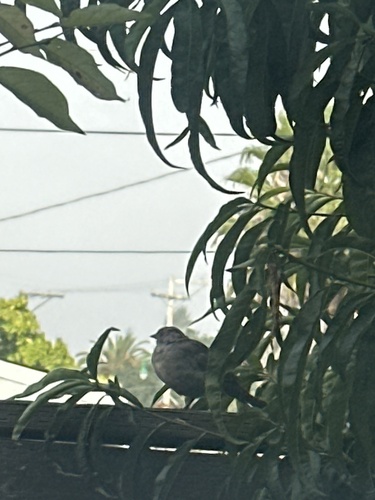
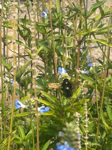
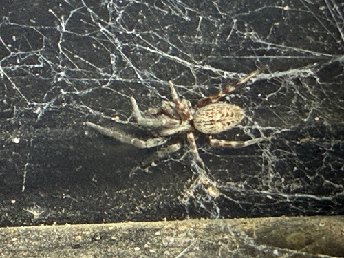
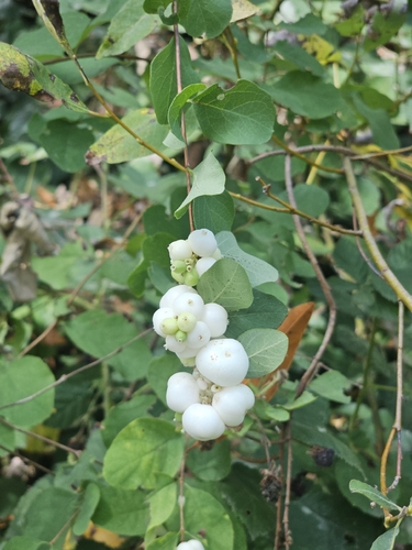
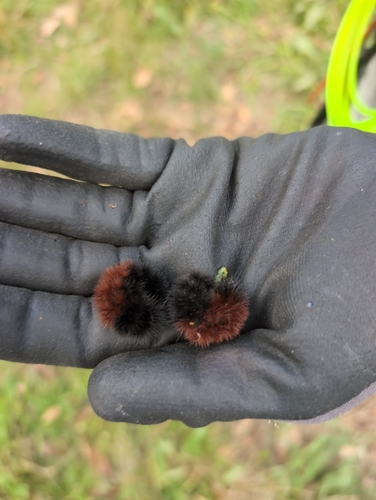
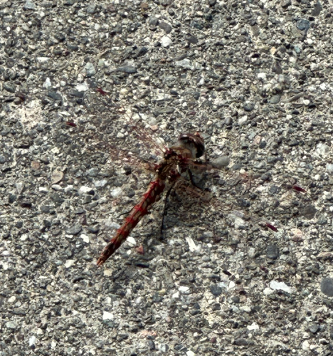
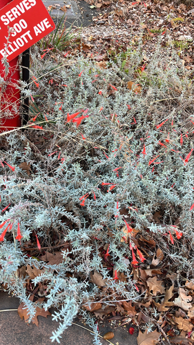
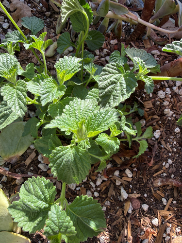
Research-grade observations from iNaturalist (within ~15 mi).
Nearest stream gauge
Live readings from USGS NWIS · measured 2026-10-01 16:00 UTC.
Events
Gallery
Sources
- • Wikipedia
- • US Census Bureau (ACS 5-year estimates)
- • NOAA National Weather Service
- • Wikidata
- • USGS NWIS (water data)
- • NCES via Urban Institute Education Data Portal
- • GBIF (Global Biodiversity Information Facility)
- • iNaturalist
- • CDC PLACES
- • Open-Meteo / sunrise-sunset.org
- • Wikipedia Pageviews API
- • NASA EONET