Browse / United States / California / Lawndale
Lawndale
Californiacity

Lawndale
Total population
30,781
Median home value
$781,900
Bachelor's+
Median income
$85,441
Founded
1959
Demographic figures from US Census Bureau · ACS 5-year estimates. Overview below cites Wikipedia and may reference a different year.
- Extreme Heat Warning · SevereExtreme Heat Warning issued October 1 at 12:17PM PDT until October 8 at 8:00PM PDT by NWS Los Angeles/Oxnard CA
Source: NOAA National Weather Service.
City facts
Facts from Wikidata (CC0).
Overview
Lawndale is a city in Los Angeles County, California, United States. The population was 31,807 at the 2020 census, down from 32,769 at the 2010 census. The city is in the South Bay region of the Greater Los Angeles Area.
Read more on WikipediaHistory & geography
History
Native Americans of the Tongva tribe lived in the area. From the 1780s onward, the area that is now Lawndale was part of the Rancho Sausal Redondo, a land grant given by the Spanish colonial government that includes much of what is now the South Bayshore region. In 1905, Charles B. Hopper first subdivided the area and named it after the Chicago neighborhood of the same name. Lots sold slowly and different promotions were tried, such as promoting Lawndale as a chicken raising area. The first railway to run through Lawndale was the Inglewood Division of the Redondo Railway which would later become part of the Pacific Electric "Red Car" system. It ran down the middle of Railway Avenue (now Hawthorne Boulevard) until 1933. In 1927, the Santa Fe railroad arrived. After World War II, the immense demand for housing from returning veterans and California newcomers resulted in Lawndale's formation as a bedroom community. On December 28, 1959, it was incorporated as a city. Starting in the 1970s, Lawndale's relatively low housing prices but more desirable location relative to its neighboring cities attracted absentee landlords and a substantial portion of its residents increasingly became renters. For a time in the 1980s, with a new cycle of expansion of the defense industry nearby, many young people who wished to live in the Beach Cities found that they simply could not afford to do so, and settled in less glamorous inland cities such as Lawndale. But with the contraction of this industry after the Cold War, Lawndale reverted to its previous pattern. It has attempted to attract more owner–residents, as well as tourists, with the 2003 completion of the "Beautify Lawndale" urban renewal project along the city's stretch of Hawthorne Boulevard (State Route 107), a major South…
Geography
According to the United States Census Bureau, the city has a total area of , all land. The weather is warm all year long. In the winter, there are moderate rains. Because of the formation of the Palos Verdes Peninsula and its proximity to the beach, the city gets effects of the marine layer on almost identical, if not slightly lower, levels of nearby beach cities such as Manhattan Beach and El Segundo.
Excerpted from the corresponding Wikipedia article (CC BY-SA).
Demographics & economy
Race & ethnicity
Source: US Census Bureau — American Community Survey, 5-year estimates.
Geography
Coordinates & boundaries from the US Census TIGER/Line shapefiles.
Climate
Current forecast
Forecast for Lawndale, CA from NOAA NWS API.
Air quality
Industrial & pollution facilities
Natural hazard risk
Health (adults)
Walkability
Amenities nearby
Wildlife & biodiversity
Most-observed species
- Bladder kelpMacrocystis pyrifera (L.) C.Agardh · Phaeophyceae127,790
- House FinchHaemorhous mexicanus (P.L.Statius Müller, 1776) · Aves39,347
- American CrowCorvus brachyrhynchos C.L.Brehm, 1822 · Aves36,823
- Black PhoebeSayornis nigricans (Swainson, 1827) · Aves36,778
- Allen's HummingbirdSelasphorus sasin (R.Lesson, 1829) · Aves31,061
- Western GullLarus occidentalis Audubon, 1839 · Aves30,975
- Mourning DoveZenaida macroura (Linnaeus, 1758) · Aves27,348
- MallardAnas platyrhynchos Linnaeus, 1758 · Aves25,129
Citizen-science & research observations from the Global Biodiversity Information Facility (GBIF).
Schools
Earthquake history
Most recent
- M 2.94 — 2026-09-174 km SSE of Compton, CA
- M 2.56 — 2026-09-1327 km SSE of Malibu, CA
- M 2.65 — 2026-09-124 km E of Lennox, CA
- M 3.31 — 2026-09-1226 km ESE of Avalon, CA
- M 2.95 — 2026-09-1226 km ESE of Avalon, CA
- M 2.54 — 2026-09-1226 km ESE of Avalon, CA
Events from the USGS Earthquake Catalog (global) (FDSN Event Web Service).
Photos
Sights & places nearby
Notable people from here


People born within ~10 km, from Wikidata (CC0). Click any name for their Wikipedia article.
Nearby places in California
- Alondra Park1 mi away
- Del Aire2.2 mi away
- Hermosa Beach3.3 mi away
- El Segundo4.4 mi away
- Florence-Graham8.3 mi away · pop. 60,690
- Marina del Rey8.3 mi away
- Palos Verdes Estates8.9 mi away
- Cudahy11.1 mi away · pop. 22,811
- Bell Gardens12.5 mi away · pop. 39,501
- Commerce13.8 mi away · pop. 11,993
- East Los Angeles14.5 mi away
- Artesia15.7 mi away
Geography & sun
Elevation, sunrise/sunset and daylight from Open-Meteo. Solar climatology from NASA POWER.
Nearby airports
Public attention
Pageview totals from the Wikimedia Pageviews API.
Books about Lawndale

Search results from Open Library.
Recent natural events nearby
- Wildfire RIDGE, Los Angeles, CaliforniaWildfires · 2026-08-07 · 68 mi
- Wildfire BUZZARD, Kern, CaliforniaWildfires · 2026-08-05 · 77 mi
- Wildfire PLAINS, San Luis Obispo, CaliforniaWildfires · 2026-08-12 · 141 mi
- Prescribed Fire CRAWFORD CORRAL RX, Tulare, CaliforniaWildfires · 2026-09-19 · 191 mi
- Wildfire Plaskett, Monterey, CaliforniaWildfires · 2026-08-26 · 222 mi
- Wildfire Timber, Monterey, CaliforniaWildfires · 2026-08-09 · 249 mi
Wildfires, storms and other events from NASA EONET (last 12 months, within 250 mi).
Ground air-quality sensors
Recently spotted species
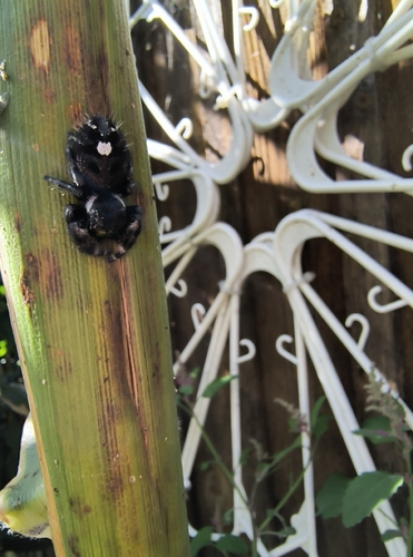
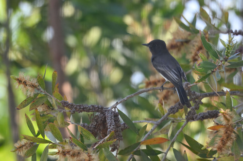
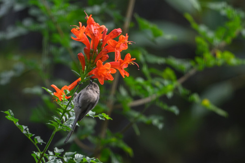
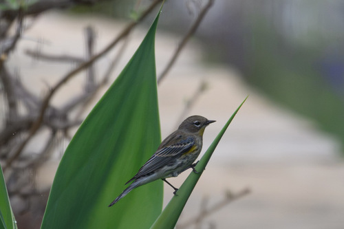
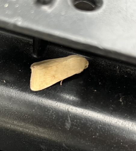
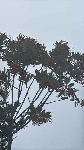
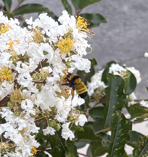
Research-grade observations from iNaturalist (within ~15 mi).
Nearest stream gauge
Live readings from USGS NWIS · measured 2026-10-01 15:30 UTC.
Events
Gallery
Sources
- • Wikipedia
- • US Census Bureau (ACS 5-year estimates)
- • NOAA National Weather Service
- • Wikidata
- • USGS Earthquake Catalog (global feed)
- • USGS NWIS (water data)
- • GBIF (Global Biodiversity Information Facility)
- • iNaturalist
- • Open-Meteo / sunrise-sunset.org
- • Wikipedia Pageviews API
- • Open Library
- • NASA EONET