Browse / United States / California / Lennox
Lennox
CaliforniaCDP

Lennox
Total population
19,449
Median home value
$708,000
Bachelor's+
Median income
$57,759
Demographic figures from US Census Bureau · ACS 5-year estimates. Overview below cites Wikipedia and may reference a different year.
- Extreme Heat Warning · SevereExtreme Heat Warning issued October 1 at 12:17PM PDT until October 8 at 8:00PM PDT by NWS Los Angeles/Oxnard CA
Source: NOAA National Weather Service.
City facts
Facts from Wikidata (CC0).
Overview
Lennox is a census-designated place (CDP) in the South Bay region of Los Angeles County, California, United States. The population was 20,323 at the 2020 census, down from 22,753 at the 2010 census.
Read more on WikipediaHistory & geography
History
Lennox was established as a small farming settlement sometime around 1905, and named Lennox in 1912. Formerly part of the vast rancho owned by Daniel Freeman, by the 1920s it was an established community spanning 7 square miles, with a Pacific Electric railway line running through its center along Hawthorne boulevard. It was during the 1920s that the neighboring cities of Hawthorne and Inglewood, incorporated in 1922 and 1905 respectively, began to annex large portions of it. The Arbor Vitae section, a highly developed commercial and residential area along Arbor Vitae Street, was annexed by Inglewood in 1924. The surveyors noted, however, that "The town is quite evidently on the upgrade, recent construction being of distinctly better quality and design than the older dwellings." This proved correct, as the area would see a massive boom in the following decades. The South Bay region was a major center of aircraft production during World War II, instigating rapid industrialization and residential development to house industrial workers. After the war, in 1949, the establishment of Los Angeles International Airport immediately to the West had an enormous impact on Lennox. Many residents worked at the airport or in the many airport-related businesses nearby, and the nearby cities of Hawthorne and El Segundo became major centers of the postwar aerospace industry. and Hawthorne, but both complete annexation and incorporation would fail to materialize. The introduction of jet aircraft, including the supersonic Concorde, significantly increased noise and air pollution in Lennox. The construction of Interstate 405 in the 1950s and 1960s, followed by the construction of Interstate 105 along the community's southern border, encircled the area with major freeway infrastructure…
Geography
Lennox's boundaries are Century Boulevard to the north (along with neighboring cities of Inglewood and Los Angeles), Interstate 405 (the San Diego Freeway) to the west, and Interstate 105 (the Glenn Anderson Freeway) to the south. Hawthorne Boulevard and Prairie Avenue make up portions of its eastern boundary with Inglewood. Interstate 105 follows Lennox's borders exactly, forming an odd curve, because opposition from Hawthorne to its construction led to an alignment along the city's far northern boundary. Lennox was originally much larger, covering several square miles of what is now Inglewood and Hawthorne. Since the area has never successfully voted to incorporate, neighboring cities have repeatedly annexed large chunks of it. The CDP sits underneath the flight path of passenger jets landing at Los Angeles International Airport (LAX). Inglewood is on one side of Lennox, and Hawthorne is on the other. According to the United States Census Bureau, the CDP has a total area of , all land.
Excerpted from the corresponding Wikipedia article (CC BY-SA).
Demographics & economy
Race & ethnicity
Source: US Census Bureau — American Community Survey, 5-year estimates.
Geography
Coordinates & boundaries from the US Census TIGER/Line shapefiles.
Climate
Current forecast
Forecast for Lennox, CA from NOAA NWS API.
Air quality
Industrial & pollution facilities
Natural hazard risk
Health (adults)
Walkability
Amenities nearby
Wildlife & biodiversity
Schools
Earthquake history
Photos
Sights & places nearby
Notable people from here


People born within ~10 km, from Wikidata (CC0). Click any name for their Wikipedia article.
Nearby places in California
- Del Aire1.6 mi away
- Alondra Park3.6 mi away
- El Segundo4.3 mi away
- Hermosa Beach5.4 mi away
- Marina del Rey5.9 mi away
- Florence-Graham6.8 mi away · pop. 60,690
- Cudahy10.2 mi away · pop. 22,811
- Bell Gardens11.8 mi away · pop. 39,501
- Palos Verdes Estates12 mi away
- Commerce12.6 mi away · pop. 11,993
- East Los Angeles12.7 mi away
- Artesia16.7 mi away
Geography & sun
Elevation, sunrise/sunset and daylight from Open-Meteo. Solar climatology from NASA POWER.
Nearby airports
Public attention
Pageview totals from the Wikimedia Pageviews API.
Books about Lennox





Search results from Open Library.
Recent natural events nearby
- Wildfire RIDGE, Los Angeles, CaliforniaWildfires · 2026-08-07 · 65 mi
- Wildfire BUZZARD, Kern, CaliforniaWildfires · 2026-08-05 · 74 mi
- Wildfire PLAINS, San Luis Obispo, CaliforniaWildfires · 2026-08-12 · 138 mi
- Prescribed Fire CRAWFORD CORRAL RX, Tulare, CaliforniaWildfires · 2026-09-19 · 187 mi
- Wildfire Plaskett, Monterey, CaliforniaWildfires · 2026-08-26 · 220 mi
- Wildfire Timber, Monterey, CaliforniaWildfires · 2026-08-09 · 247 mi
Wildfires, storms and other events from NASA EONET (last 12 months, within 250 mi).
Ground air-quality sensors
Recently spotted species
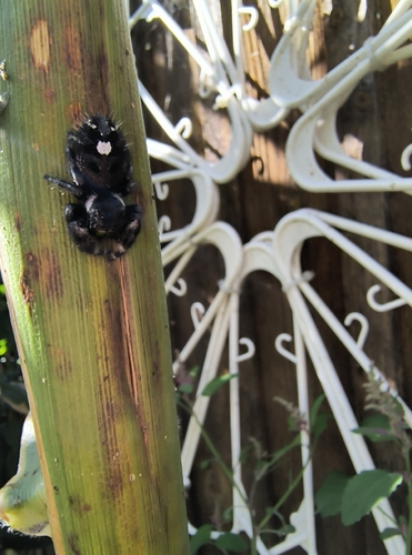





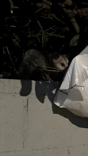

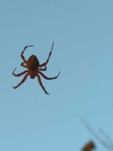
Research-grade observations from iNaturalist (within ~15 mi).
Nearest stream gauge
Events
Gallery
Sources
- • Wikipedia
- • US Census Bureau (ACS 5-year estimates)
- • NOAA National Weather Service
- • Wikidata
- • iNaturalist
- • Open-Elevation
- • Open-Meteo / sunrise-sunset.org
- • Wikipedia Pageviews API
- • Open Library
- • NASA EONET